Boston
My reasons for the trip were a bit of a mystery even to myself. For a couple of months I had offered various thoughts to friends, none of which felt particularly accurate. Part certainly came from being without a bed to call my own, having let my lease go at the end of August. I had the ambition of playing professional golf, and fall was to be my time to try to qualify for the tour. After miserable results during my summer tournaments though, it was utterly clear that I was not ready. Such an attempt costs an entry fee of around $5,000, so nothing to take lightly if you are not feeling confident. Thus I found myself in September no longer living with my best pals from college, and without much of an idea for what came next.
This was only a fraction of the reason though. A new lease is not hard to find in Boston, and the ties to a great group of college friends and my girlfriend were strong incentives to stay. Instead, the call to the road came mostly from desire rather than necessity. A New York City kid, schooled and living in Boston, I was decidedly unacquainted with much of the country. From a youth spent playing golf and soccer tournaments, I knew the eastern seaboard from Maine to North Carolina, but had only jetted in and out of a handful of other places around the country. This fed a sense of claustrophobia and restlessness.
Growing up in a family where my father often referenced his great journeys across the country and around the globe, and in a country where individualism and exploration are part of its ethos, such a trip felt like a requirement of a well-lived life. Soon to be 25, I saw many a long path before me. Qualifying and playing golf into my 30s. Starting a company with its many early years of hard toil. A serious relationship and eventually the demands of a family. All roads leading away from free time and the long one. Maybe premature, but fleeting opportunities on the horizon and the sinking feeling of passing youth were strong factors in deciding to leave and traverse the states.
This is not an exhaustive list of my reasons. Many more I have yet to suss out are lurking in the recesses of my mind. I haven't tried too hard to figure them out though. The important thing was that I was going.
And so I found myself sitting in front of my boss, in a newly renovated yet still sparsely decorated office, asking what he thought about me working remotely.
“My sister is in Houston. She is a reporter there. Growing up in New York, I have lived in Boston for six years now, with school and now Redline, and I am growing kind of tired of it.”
“Six years, I’ve lived here for 43 years,” Mark interjected.
“Hahaha, yeah I don't know, I just want a change out of the northeast...and I was thinking about joining her in Texas. What do you think about me moving to remote work?”
This was more than an arm’s length from the truth, but I did not want to make it too complicated for him. I planned to depart in early October, with stops in Buffalo, Cedar Rapids, Rapid City, Denver, Jackson Hole, San Francisco, Los Angeles, Austin, Houston, and New Orleans by Christmas. For the past couple of years, rather than exchanging presents, my family took a trip. This year we were heading to New Orleans, which made it the logical time and place for the trip to end. Once January hit I planned on coming back east for a few weeks to visit my girlfriend and former housemates. Then heading back to Texas, possibly Houston, for February, March, and April, to prepare for the upcoming golf season. Houston was definitely a stop on the trip and possibly my location in the spring, but I told my boss Houston because working remotely from Texas sounded a lot better than working from the road on a 10,000-mile 3-month-long road trip. From my perspective, remote work was remote work, and as long as I was completing my assignments, it did not matter where I was located. I just needed my boss to say yes. I also thought there was little possibility that work would find out about the plan.
For a pretty low key guy who gives his employees a long leash, Mark took a long while to consider this idea. For two weeks, I came into work thinking I’d hear his decision. I’d see Mark walk into my office and think he’d say “Owen, do you have a moment?” and sweep his hand in the direction of his office; instead he would ask how progress was going on one customer ticket or another. Due to my initial procrastination in asking and Mark taking longer than expected in answering, it was late August at this point and my lease was up in 11 days. I needed to know where I stood, so if I did not get approval, I could act quickly to find a lease starting in September.
I walked into his office in the late afternoon, after Mark was finished with his multiple morning calls, and after I had time to complete enough work so I could give a positive status update if I was asked. Knocking on the door, “Hey Mark, do you have a moment?” Assent given with a nod of the head. “Have you had a chance to review my request? My lease is coming up and I kinda need to know one way or the other.” “Yes, yes, Houston, that's okay. Performance must stay high. Working remotely there are fewer remedies if performance drops.” “Thank you very much, Mark!! I do not see any reason why performance would drop.” The two senior engineers on my team also worked remotely so all questions I had during a day of work had to be asked across the company chat app, Slack, anyway. My excitement made me pop up out of my chair and shake his hand. I was going, going on the long one.
It had been over a month since I had been approved to work remotely, and I had spent my time bumming around Boston. September is a glorious month in the bay state, so I hung around, staying at Isabel’s and on friends' couches. Wonderful activities ensued; a weekend on the cape with my housemates, a weekend in Newport with Isabel, a wedding of a family friend in the Berkshires. It was a charmed month. Not having a place to stay made my departure feel imminent and thus activities and emotions were at heightened levels.
It was a month of extra rounds and toasts; toasts to the end of the college lifestyle and the past two years together. Friends from college, we had made the conscious decision that we wanted to live together after graduation. We thought at no other time of life were we going to be able to live with 3 of our best friends. Although we had various ideal paths for ourselves we thought living together would be an experience we would rue missing. It was more than we could have hoped for. Trying to explain such friendships always comes up short and sounds all too clique, but we really were guys who cared about one another. Thus this month was more than me leaving; a couple of our other friends had left a few months before and one of my housemates Zach was thinking of moving to DC come January, so the post-grad era was ending. Our friendships were likely at their most intense. We did not want it to, but life was moving us on.
Finally, I had all my stuff packed and on the curb next to my car at 9:15 on Thursday morning. Isabel had taken two days off work, the first to head north to visit her mother for her 60th birthday, and the second for us to drive out to Buffalo. I planned on staying at the housemates Thursday night and picking Iz up wherever her sister dropped her off Friday morning. Thus my box of snacks, my two bags of clothes, my suit bag, my golf bag, my camping gear, my kettlebell, my toolbox, and an extra pillow were all strewn on the wetness beside Norman. With Norman, a little two-door Hyundai Accent Hatchback, packing had to be deliberate. Golf bag on the left side, clothes bags on the top of the folded down back seats, snacks and camping gear on the flat nearest the trunk door, and finally pillow and kettlebell wedged behind the passenger seat.
“Big road trip?”
“Indeed, I am driving cross country to San Francisco.”
“Oh my. I did that once. Nebraska was sooo goddamn boring. Flat and endless. What route are you taking?”
“I-90! At least most of the way. Buffalo, Iowa, the Dakotas, Denver, Jackson Hole, San Fran!”
“A lotta driving. Best of luck. Have fun!”
My phone said 9:41, I was quite late for work. I’d need 29 minutes of speeding to make my morning meeting at 10:10. I jumped in the car and sped off, leaving my suit bag right there, on the 3ft tall rock ballast which marked the start of the stairs up to the yellow house, the first one on the right of Lee st.
At work, I was in serious shit. I’d gotten a bit confused about if Isabel and I were taking Friday off to drive to Buffalo early or if we were leaving after work on Friday. She had lived in Buffalo the year before and had been asking me to go for a while. This trip provided the perfect opportunity. Buffalo was on the direct route out, seven hours west on I-90 from Boston. We’d discussed driving after work on Friday but it meant the weekend activities would be very cramped. On the other hand, leaving early Friday would require taking a day off, a commodity that Isabel was running low on. Confused about our decision, I did not realize my error until after I had put in my request to take the following week off. I am not proud of it, but I felt weird about asking for another vacation day given how nice they had been in granting me remote work, and so I kept procrastinating. I finally came up with the plan that I would ask for the day off because the packing was going very badly. In their minds, I was packing up and would be taking the following week off to drive down to Texas, where I would set up shop for the foreseeable future. I would say packing was going so poorly that I thought I’d need to take Friday off in order to finish.
But now I was late! It was 9:41 and I needed to ask this morning! I surely couldn't show up late to our already very leisurely 10:10 meeting and ask for the following day off! I sped. Through Cambridge, onto route 28, and up 1-93 to Woburn. I sprinted up the stairs, put my stuff down, composed myself, wiped the perspiration on my forehead, and walked into Mark’s office for our morning meeting. The plan was to ask at the end of the meeting when Mark would ask “Anybody have anything else?” With the wording and tone of my request running through my head on repeat, Mark mentioned that he would be out the next day and thus no meeting. I started to think, to conspire. Not proud, not proud, very very guilty. In my dread I kept my mouth shut leaving the insidious plot of just not working on Friday. Without the morning meeting, nobody would check in on me, certainly not on a Friday. None of my work was time-critical and I would be able to make it up in the week I had actually taken off. And so I found myself picking up Isabel at 10:30 on a day when I was on the clock. Iz had made such a big deal about how hard it had been for her to take the day off that I had absolutely no courage to tell her about my mischievousness.
The timing for Iz could not have been worse work-wise. Having been put on three upcoming deals, she had worked 12 hour days Monday-Wednesday, only to have to work in the car on the drive out. Huddled over her computer on her vacation day, her focus was so intense that she could not hear the outside world. My questions were not heard much less responded to. After four hours of that, plus not being able to listen to any of my downloaded books because Iz also wanted to listen to them, I was drowsy, testy, and was not having fun. I needed a short snooze and Iz had a call so we switched seats and Iz would talk as she drove.
Waking up quite dazed and groggy, I looked down to see the car keys in my lap, my phone 56 minutes advanced, and the car parked in a service area. Confused, I shuffled out of the car to go to the bathroom and find Iz. Not finding her inside the building or outside on the benches I was befuddled. I went back to the car to get my water bottle, locked the car with the driver’s side door button because the key fob seemed to have died, and returned to the building for a second search. I found her near an outlet, hidden by a massage chair, huddled over her computer, typing furiously. She had made it 35 minutes before pulling off and getting back online.
Still drowsy but exasperated by our slow pace I said I would drive. Getting back in the car I pulled onto the highway and noticed there was definitely something wrong. There was a red light on the dashboard with the letters “tpms”, the clock was blank, the trip odometer had reset to 0, and the interior lights weren’t working either. Thinking back to the service area I wondered if these were related to the car keys not being able to lock or unlock the car remotely. Asking Iz if anything had happened while she was driving, I got no response. Not knowing what was wrong with my car, but knowing something was definitely up, on the opening leg of a 5,000-mile journey, in the presence of a mute companion, my voice cranked up to a volume and tone much too dramatic.
Having decided to start dating a year before we were both immensely pleased with how it was going. And I do mean decided. With our fathers being best friends from college and our families still close, we had discussions before making the plunge, not wanting to get wet if the relationship didn't have legs. Six months after giving it a shot we had looped the parents in on the situation, much to their audible chagrin. “Don't screw this up for us.” Regardless, no damage was done. A year in and we were enjoying each other's company immensely. All of this to say, we wanted to have a good weekend. I wasn't sure where life would take me after this road trip, but I did not think a return to Boston was in the cards. Six years of living there, long winters, and a world of wonders, weighed against it. This might be our last weekend before a long-term long-distance relationship.
Isabel’s dismissive responses to my continued questions about if something had happened to the car, did nothing to dilute my tone or rising worry. Pulling over to the side of I-90 somewhere between Albany and Rochester on a sunny, blustery, fall day, the first car investigation of the trip ensued. The hood was raised, the manual brought out, and phones sent into action. Much to our novice delight, 10 minutes later we had the working theory that it was a blown fuse, one that controlled the interior lights, clock, odometer, and a couple of other things. The details in the manual and our observations matched up. Unable to get the broken fuse out of the power connector box, an item whose existence we had just learned of, we hopped back in the car and proceeded on our way, our worry eased that anything serious was actually wrong.
Not yet well acquainted with the practice of arguing we laughed about how we had gotten a bit taken away.
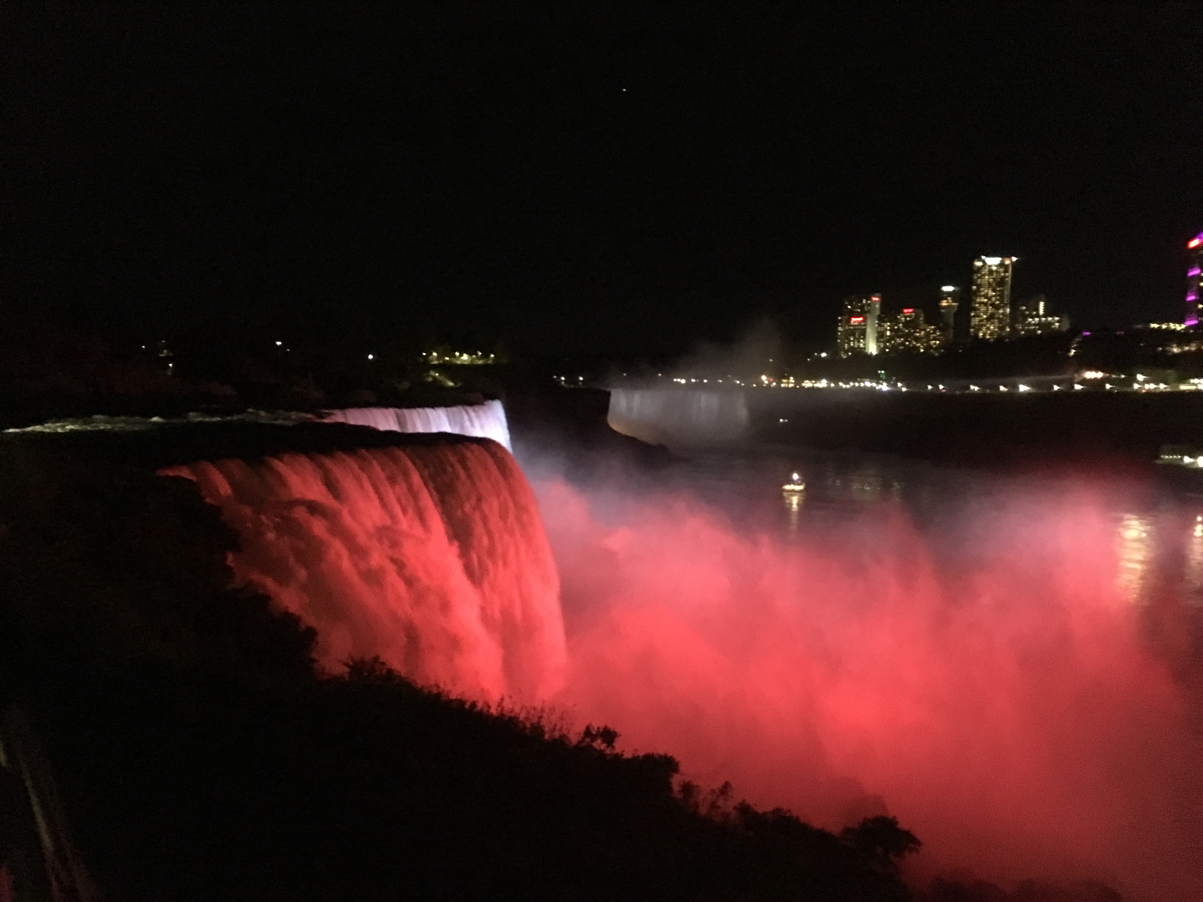
Darkness descended right around the time when we were arriving at Niagara Falls. Isabel forgot to bring her passport so we were relegated to the US side. All the pictures which pop into your mind when you think of the falls are from the Canadian side. The US side looks down from the top of the falls, whereas the Canadians have the full expanse of the falls, which makes for some great pictures.
We found the US side absolutely exhilarating though. Isabel had been to the falls a few times but always from the Canadian side, and found the view down the falls, especially from Luna Island, heart pounding. The water crested over the edge and dashed down 150 feet onto massive boulders which had broken off the falls years before. Across the way, there were massive flood lights with rotating colors focused on the falls for the evening onlookers delight. The light interacting with the mist, just barely illuminating the drenched boulders below, was mesmerizing. Iz and I went back and forth trying to explain the scene. “It's apocalyptic!” “Looks like the coastline of Maine when a big storm is bearing down.” “These rocks are what specs of dirt would be in a human shower.” From stop to stop within Niagara State Park we would run, just too excited to be there and pumped up from the otherworldly scene below.
From Niagara we headed to the consensus best buffalo wings in Buffalo and a quick tour around Isabel’s old neighborhood, Gabriel’s Gate. It is an old-timey restaurant in a two story house, with wood paneling, wooden bench seating, and huge animal busts peering down at out from above the bar. The food ain’t fancy, just two dozen gloriously lathered wings with wooden discard bowls. Surrounding it is the neighborhood of Allentown, which contains a combination of stately 1800’s mansions, leftover from the golden age of the Erie Canal, interspersed among vacant lots and spots of gentrification. Isabel pointed out some of her favorite haunts and told stories of this or that when somethings around us reminded her. A bit after 10pm we headed to the Airbnb.
“Bad, bad, not good.”
“What?”
“My jacket bag.”
“You left it?”
“Bad.” Shaking my head.
“You left it at my apartment?”
“Worse.”
“You left it with the roommates at 91?”
“Worse.”
“You left it at J and Travis’s?”
“Worse.” Bumping my head against the side of the car now.
“You left it on the street?”
“Indeed.”
“NOOOOOOO!”, Isabel let out sympathetically. “That's literally the worst-case scenario. My house or 91 and I coulda just sent it. What are you gonna do? The Dakotas and Jackson are gonna be cooold.”
There followed a sizable pause to let the news sink into both of us. All of my jackets and warm weather clothes were MIA, left on the stoop of a random house on Lee St. in Cambridge, Massachusetts. A cool fall evening bringing the bag’s absence to my eye when I opened the trunk. Remaining was the sweatshirt on my back and about 10 t-shirts.
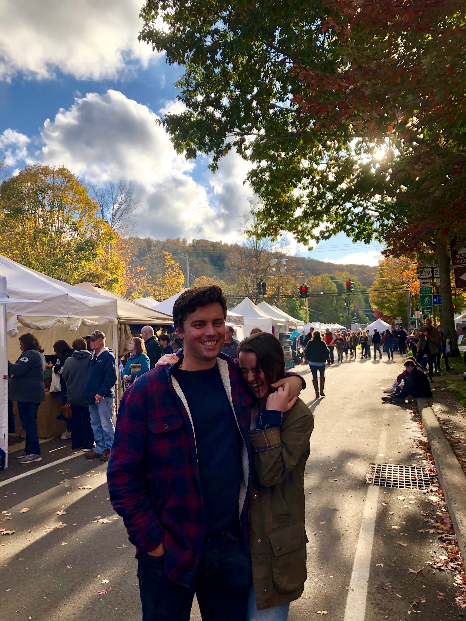
Friends from Isabel’s old job joined by significant others and siblings had all rented a house in Ellicottville, a little way out of Buffalo, as our home base for Fall Fest, the biggest harvest festival in Western New York, and invited us to join for the weekend. The result was 16 people in an Airbnb with beds for 9 and two couches. Isabel and I were assigned to the top bunk of a twin bed bunk bed. It was to be a cozy final weekend together.
Fall fest turned out to consist of a few stages for live music, 100 or so street fair vendors, an assortment of fried foods, and tons of people, all situated in a very picturesque town a bit outside of Buffalo. Two-story brick buildings with cute shops, the classic white steeple church, beautiful fall foliage, and lovely fall weather. Isabel’s friends were super nice, and we spent our days eating and drinking our way through town.
The Dakotas
At 11:45pm I awoke from my slumber. Having pulled over at 8:30pm to take a one-hour nap, I somehow had slept for three hours and fifteen minutes. Just a bit outside Cleveland now, I had 8.5 more hours of driving to do before Noah’s flight landed in Iowa at 1 pm the next day. Having left Isabel in Buffalo around 4 pm, I’d cruised through a stunning section of Western New York, where leaves of yellow and red dotted the hills far on my left, vineyard after vineyard ticked by on both sides of me, and the sparkling blue of the Erie could be seen off in the distance on my right. The fading sun threw a golden light over the whole scene making it one of the prettiest sections of the entire trip.
After making good time to Cleveland I took a pit stop in Cleveland Heights to take a look at my father's childhood home. He had lived there in his elementary school years and had been encouraging me to make the stop. It was a stately brick home on the corner, with a chatty couple sipping wine on the back patio. Other homes in the neighborhood were also very nice, many in the Tudor style, with full green lawns and a nicely sized backyard. Yet looking up prices online at dinner the houses in the neighborhood were mostly in the 200-300k range!
I got a bit tired an hour later, four hours into the drive, and still 3.5 hours from my planned pit stop in South Bend, Indiana. That is when I decided to pull over into the service area to take a nap. Awake now and flustered by my unplanned hibernation, I got out of the car to take a piss, only to slip on some vomit spewed directly outside the driver’s side door. Tough go, but at least I was fully recharged. I reevaluated, decided not to pee, and took off down the highway, lots of driving ahead of me.
Usually, I like driving at night. For one there is much less traffic, but mostly I like that it means I am not wasting a day in the car. On my many trips back and forth from NY and Boston, I would usually leave around 9 pm, after dinner with the parents or a night hanging with the housemates, and complete the drive in 3:15 hours. It felt like I got two full days on either side of the drive. On the drive to South Bend though, I had the sinking feeling that I was missing out. The whole point of this trip was to see the in-between. To experience all the places that I had never been to before. But under the cover of darkness, the landscape's charms were hidden. Every road looks the same at night: black asphalt, painted lines, darkness above and on each side. And so Indiana passed by, a mystery to me. I decided in these wee hours to try and favor daytime drives so that I would not miss the in-betweens.
A quick 5-hour stopover at a Motel 8 and I was back on the road. It was 8:01am and google maps predicted 4 hours and 58 minutes, just enough to beat Noah’s plane in Cedar Rapids at 1 pm. Looking around, I realized I probably had not missed much in Indiana if it looked at all like Illinois. I-90 cuts through the outskirts of Chicago’s sprawl and for a couple of hours it was nothing but wide concrete highways, billboards, spaghetti ramps, and hints of strip malls off to the sides. It was monotonous and depressing, such that the cornfields of Iowa were actually a joyous sight.
Small farms of corn and soybean, Iowa was exactly as I had imagined. No place on the trip fit with its stereotype quite as well as Iowa. I mean that in a positive way. It looked like the Jeffersonian ideal. The farmhouses and silos were the only interruptions to the lines of agriculture flitting by row after row. It was mesmerizing watching out of the corner of my eye, each perfectly planted row going tick tick tick. Even the soybeans and grass fields had these perfectly sowed lines. An entire field of grass looked like matted hair from almost every angle until for a few brief moments the field came into perfect organization with crop lines going off into the distance.
Arriving at the Cedar Rapids Airport was a funny experience being accustomed to the hustle and bustle of LaGuardia or JFK. Not a single car or person was in front of the single terminal airport. The sidewalk in front stretched for 500 ft and not a single soul was present. I leisurely parked right in front and hopped out, not worrying about a screaming traffic cop or honking taxis. Noah walked out a couple of minutes later and we took off, no sign of his fellow passengers or any airport personnel materialized.
We didn't have any definitive plans for the week. We knew we wanted to go to Badlands National Park, Theodore Roosevelt National Park (Noah very much wanted to say he had been to North Dakota), and Mt. Rushmore in the Black Hills. The dates of when to do these things or the stuff we’d do in between were unsettled. It was novel for both of us to spend a vacation like this. Usually, vacations were well-planned out affairs so as to maximize the activities that were possible. Or even on vacations whose purpose was relaxation, there was still a known place and routine to the day. Here we had the true road trip experience: young, excited, and untethered.
While driving we decided on the Castle Trail at Badlands National Park for Wednesday so we’d spend the rest of Monday and Tuesday tootling around Iowa and South Dakota. 9 holes of golf near Des Moines, a failed attempt at attending a 2020 presidential campaign event, a sightseeing stop at the Corn Palace in Mitchell SD, an active native American archeological site nearby, and a pit stop in Chamberlain South Dakota to try to fix Norman.
The fuse had still not been fixed, the driver side visor had a tendency to dislodge and fall down 10 inches into the face of the driver whenever we hit a big bump, and the hood's screws had become loose causing the whole hood to shake vigorously at high speeds. Chamberlain was a small town on the banks of the Missouri River consisting of 20 or so businesses. Stop one, right in the center of town, the mechanic said he was sorry but he had a backlog of work that would take him into the following week. 2pm on a Tuesday in an all but forgotten town in South Dakota and the mechanic had a week worth of cars waiting?!? The mechanic was nice enough to recommend a place down the street but warned that the old man there hated foreign cars and might refuse to work on my Hyundai. Rather excited to meet such a character we were disappointed and perplexed when we found his store closed for the day, at 2:15 on a Tuesday. Thwarted, we were headed out of town when Noah spotted a NAPA Autoparts store and thought maybe they’d lend us the tools to do the fixes ourselves. MVP of the Dakotas, John of Napa Auto Parts, showed us how to take the fuse out of the power connector box, sold us some gorilla glue for the visor, and lent us some wrenches needed for tightening the screws of the hood. It was a very satisfying feeling to do all of these small fixes, all for the mighty sum of $4.10. I felt slightly capable, almost handy. This plus changing the oil and oil filter myself before the trip had me feeling like I was starting to get a grasp of how cars worked, something I had always wished I knew.
“Sssssss”
“AHHHHHH. HOLY SHIIIIT, HOLY SHIT, HOLY SHIT. “
“WAS THAT A RATTLESNAKE?” Noah asked after we had darted 20 yards back up the trail.
“YEAH. It was fucking two feet away. I looked down and it was a foot in front of me and a foot off the trail.”
We had seen signs warning of rattlesnakes when we had penned our names into the Castle Trail log, but holy shit! this one was right there. 4.1 miles down the trail. Now, with badlands on our left and grasslands to our right, we were a bit stuck. For much of the hike, the grasslands were relatively sparse and easy to traverse. Here, though, it was thick with brambles, plus we weren't sure if there were other snakes hidden nearby. The badlands, made from a very crumbly clay-like rock were poor for hiking. Footholds and handholds were likely to crumble beneath one's weight. Thus with a steep 15-foot slide marking the start of the badlands just a couple of feet off the trail on our left, looping around the snake on either side seemed untenable. We tried throwing rocks next to it, stomping and yelling, and shooing it with Noah’s portable tripod, all to no avail. All we managed to accomplish was to make it coil up and hiss even louder. Not knowing how dangerous rattlesnakes are, but knowing they are venomous of some kind, we decided we didn't need to see the last mile of the trail and decided to turn around.
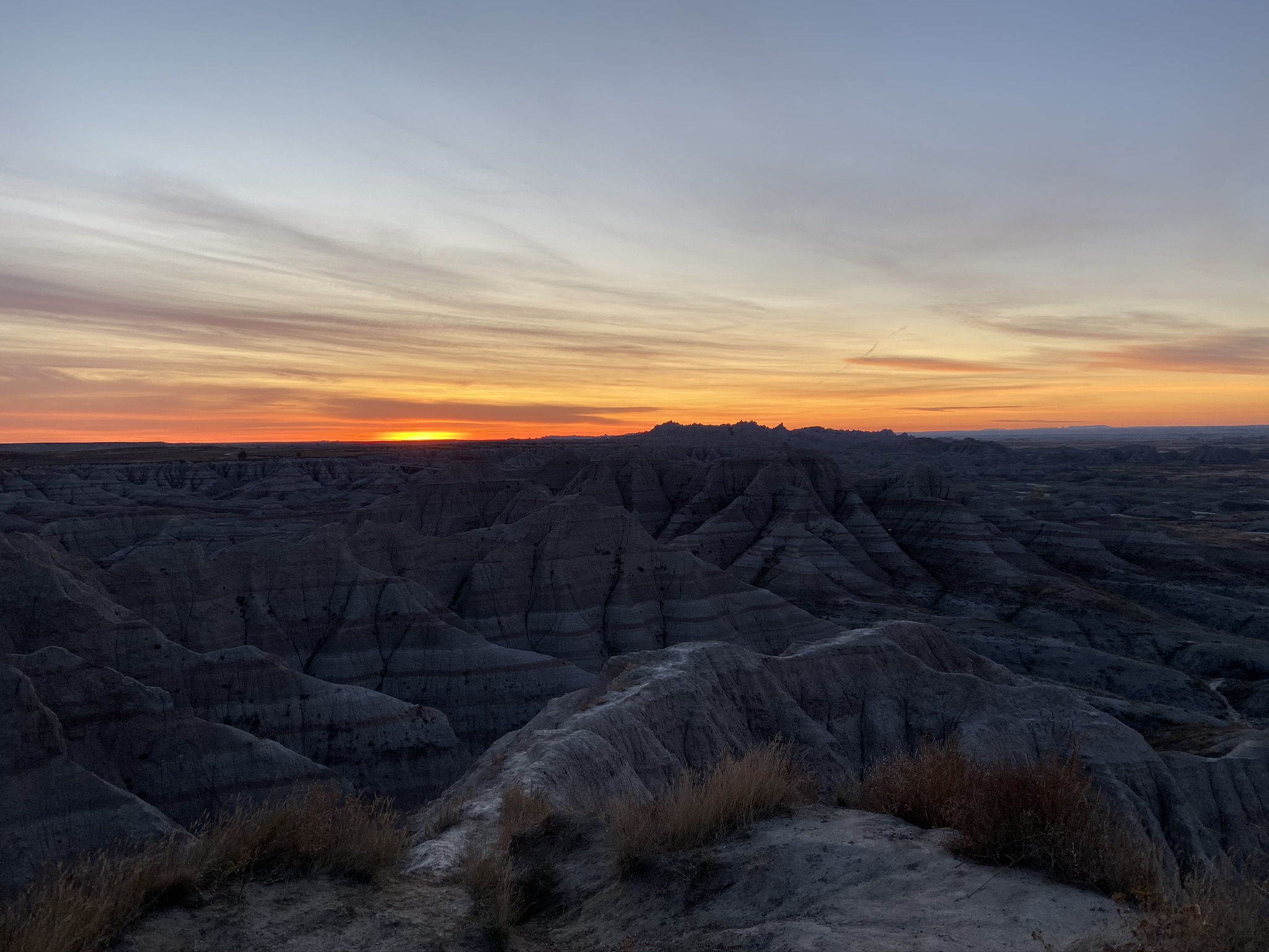
Still only 10:27 AM, we’d already had an eventful day. We had woken up at 5:45am to witness the sunrise, the golden rays illuminating the striated rocks layers which gave the badlands their character. One million years before all we would have seen was a gentle river flowing through grassland. 500,000 years from now, the erosion would be so complete that the jagged ridgelines and beautifully colored striations showing the rock layers would be gone, returning the land to gently rolling grassland. We had arrived at the perfect time to see the area at its most spectacular. The highest ridgelines 700ft and the badlands extending for a 30-mile stretch, we could compare the relative ages of rock layers from two very separate sections all while the sun peeked over the horizon.
The only damper of the morning had been Noah’s new phone. An iPhone 11 with three cameras on the back, a wide lens, portrait mode, and night mode included. I quickly realized that my iPhone 5 SE’s photos were impotent. There was no point in me taking a picture if Noah was right there beside me taking the exact same shot. His photos would look so much better that I gave up trying, leaving my phone in my bag. For sunrise, I was his assistant recommending new viewpoints and angles that I thought might be good. On the trail, I wandered off into the outlying canyons of the badlands skidding and scurrying around as Noah paused and took professional quality pictures. What finally stopped all the picture taking was that snake. It scared the bejeezus out of us.
Noah took the lead on our way back, conversation all but ceased, our eyes focused downward on the lookout for other slithering reptiles. I was definitely skittish, taking offense at every sound, but Noah tried to say he wasn't. However, he hilariously timed “I’m not scared.” with the takeoff of a couple of birds in the grass; their wingbeats against the grass simulated the rattle of a rattlesnake shockingly well. Noah gave a yelp of fright and came running back up the trail like a scared Scooby Doo into the arms of Shaggy.
Stopping by the visitor center on our way out we bombarded the rangers with questions accumulated on the trail.
“Why are there some black sedimentary rocks interspersed in the runoff areas? They look very different than the crumbly rock of the badlands.”
“You’re exactly right, they were brought down from the Black Hills all the way here by the river that eroded the badlands.”
“How common are rattlesnake attacks?”
“We have 5 or 6 every year.”
“Are they deadly?”
“ Not usually for full-grown adults. If you get treatment within the first 30 minutes you are usually okay. Longer than that and there can be some clotting of the blood caused by the venom, which can be dangerous.”
“Are there any large animals in the park? We kept looking out and all the way to the horizon we couldn’t see a single one.”
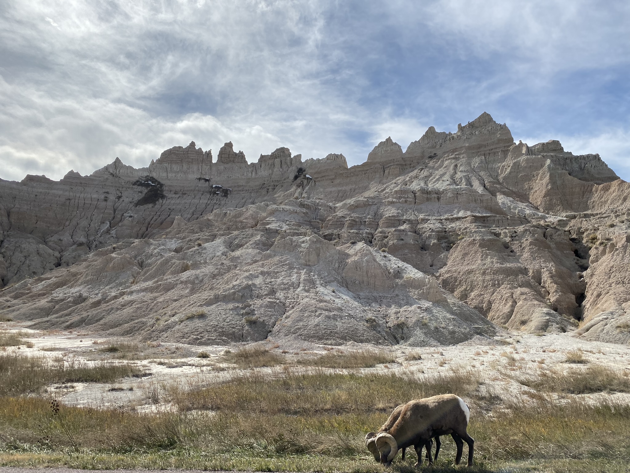
“Yeah, there are more in the western section of the park. We have a herd of 3,000 buffalo. Or rather bison. Some bighorn sheep, prairie dogs, and black-footed ferrets are also over there.”
Like magic, as we headed out of the park through the western entrance, a cluster of bighorn sheep crossed the road right in front of us. 250lbs, with massive horns curved back behind them in a semi-circle, the sheep clomped their way across the pavement, paying absolutely no heed to the cars piling up. It was surreal being so close and made for a spectacular photo opportunity. Three male bighorn sheep grazed on the grass only a foot off the road, badlands rising 300 feet directly behind them, clear blue sky up above that. We gawked, Noah took photos, and I repeated “Oh Wow, SO COOL!” way too many times.
Not five minutes down the road, we rounded a curve to see mammoth dark spots dotting an expanse of grassland. We pulled over onto a little dirt road to watch. The bison having shed their winter fir, had a thick mane of curly black hair covering their front half while their backsides were covered in a much thinner coat similar to that of a cow. Most were far off in the distance, heads down in the grass, chomping very audibly. Yet there was one right near the road and he WAS COMING CLOSER. At 2,000 pounds he weighed far more than my little Hyundai Accent. We froze and the beast walked mere feet in front of us to go scratch on a stop sign. Back and forth it lurched, trying to itch its shoulder, the poor stop sign getting yanked to and fro, 15 degrees forward, then 15 degrees backward.
Stoked with our luck, bighorn sheep and bison RIGHT ON THE ROAD! when we hadn’t seen a single other wild mammal all day, even from a distance, we happily started on our way up to North Dakota.
I’m not sure how to feel about the scenic drives that almost every National Park has. Often a loop, they are designed to give the automotive visitor a quick hits album of what the park has to offer. I wanted to hate them, black stains that have no place in the most pristine lands our country has left. Yet I used them. They allowed me to see in a day what it would take a week of backpacking to see otherwise.
Theodore Roosevelt National Park had one of the nicer scenic drives. A 35-mile loop, closed in one section because the badlands underneath had eroded causing the road to collapse, had five scenic stopping points.
Stop one, the prairie dog settlements. These badlands of North Dakota were much farther along in the erosion process. The ranger in the visitor center said they were the friendlier version of Badlands National Park, their curves more rounded and vegetation far more plentiful. All of which made TR NP the perfect habitat for prairie dogs. About one foot tall, looking like oversized hamsters, they were everywhere. The crumbly rock made it easy for them to bury their homes and the vegetation made for a plentiful diet.
I rushed at them, sprinting hard for 15 yards directly at them. It felt a bit wrong, against the ethos of the National Parks, but a plaque detailing their different calls had made me too curious. A repeating yap when they spot danger, a jump and yip when the danger disappears, and many variations in between. “Prairie dogs have the most sophisticated vocal language ever decoded.” With most of their natural predators dead long ago we spent 10 minutes just watching them scurry about cropping the grass around their homes to one inch tall. We weren’t going to see any of their language if we didn't do something. My mad dash was in the name of science! One popped up, stood erect and gave a yelp, terrified of this rushing 165 pound man. All its neighbors heard the signal and scurried to their holes. This is how they survive. They keep their lawns short so predators can't sneak up, and they live in settlements by the thousands so someone is always on the lookout. The yelps kept coming, every two seconds. Then once I backed up, back onto the road, the vocal prairie dog jumped up, kicked its hind legs and yipped that all was safe again. Lawn mowing and neighborhood gossip resumed.
Stop two, Buck Hill, a knob from which two rangers with binoculars were pointing out wildlife in the distance. A pair of feral horses over there. A group of Elk so far in the distance they were barely even specs. All around us rounded buttes with painted rock layers poking out between the grassy tops and wooded ravines. The Lakota people were the first to call this place "mako sica" or "land bad." French-Canadian fur trappers called it "les mauvais terres pour traverse," or "bad lands to travel through." It’s crumbly and very uneven terrain with few water supplies made the land terrible for farming and treacherous to cross. Thus to the natives and early white settlers this was undesirable land, especially in comparison to the flat grasslands we had driven through for four hours on our way here. As a result, this was some of the only virgin grassland in the country. The second-most biodiverse ecosystem in the world, behind only the rainforest, the US has only 32% of its virgin grassland left. The rest has at some point or another been plowed under, with agriculture, roads, and buildings the main culprits. Looking straight down as we hiked the short nearby trail, I thought I could see the increased biodiversity. Maybe it’s because I was looking for it, but each patch of ground I looked at was remarkably rich. Saltgrass, western wheatgrass, creeping juniper creeping in patches, sagebrush making cameos, very young pine saplings poking up, and some lichen looking stuff was near the ground and in-between everything.
Stop three, an exposed old coal vein. Coal inside the earth can catch fire and when it does it creates a kiln like environment that bakes the clayey soil of the badlands. The result was bright red patches of ground where arrowhead sized shards of pottery covered the surface. We did the loop and were quite impressed with the scope of the area. The red was so vibrant and it was wild imagining the earth smoldering below us. That said, we left feeling like we must have made a wrong turn, we only saw a few small patches, no big vein as was described on the trailhead.
Stop four, the eroded section of the scenic road. Along a curve around the side of a butte, the ground beneath had just given way, taking the pavement with it. The road now fifteen feet below, left a large drainage pipe sticking out from the side of the butte. The ranger inside said the fix would cost $1 million, not something in budget for a Park Service three billion dollars short on maintenance work. It was remarkable to see, and yet more remarkable that it didn’t happen more often. After all, erosion is what happens in the badlands. It is the only constant. To build a road across such land seems like a Sisyphean task. No matter what was done, the ground beneath the road would eventually wash away. It was not a question of if, but how often.
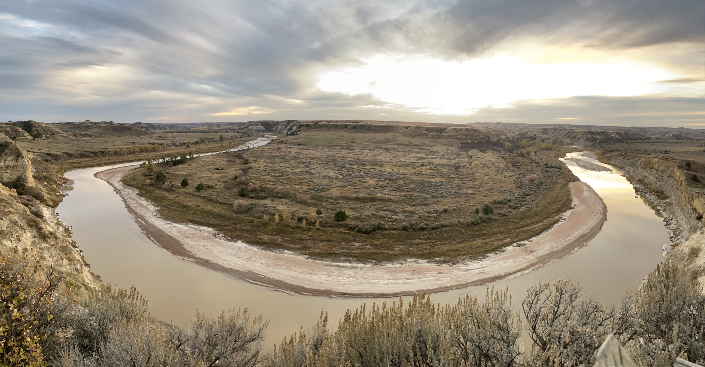
Stop five: We raced back to a point near the start of the loop where the Little Missouri made a horseshoe curve through a section of badlands. It was the best place to watch the sunset and we were losing light quickly. Around curve after curve, we drummed up excitement for how great the scene would be. The light was perfect, as Noah would say “dynamic light”. We raced past beautiful pictures, thinking better was up ahead. We parked, raced up the slope, and oh my what a setting. On the left and right, the striations of the badlands sloped up at a 60-degree angle, looking like stadium seating for the Little Mousori flowing below. Beneath us and curving to our right for a bit was a 150ft foot cliff that the river had carved; colored white down near the shoreline and a thick stripe of yellow near the top. In the middle of the horseshoe, a 1000ft by 1000ft expanse of grass with yellow and green shrubs interspersed. They say when settlers first came upon this scene the entire central area was black with bison. “Squeezed in shoulder to shoulder there looked to be no more room, and yet still they were streaming in by the thousands down the slope.” Back then there were 3 million bison in the United States. By the time Theodore Roosevelt was president the beasts numbered in the hundreds. Through the conservation efforts of TR and many others, they number 250,000 today; 25,000 on public lands and 225,000 in private herds. In our time in the park, we saw maybe 75 of the estimated 25,000 on public lands.
As beautiful as the scene was, the sun had just dipped behind a bank of clouds on the horizon as we arrived ruining the National Geographic moment. At the highest viewpoint along the cliff, we met up with 10 or so other disappointed photographers. Set up with their $1,000+ cameras on tripods they were just standing around chatting, their fingers quivering from how many photos they’d taken in the previous hour. Now though, they waited, hoping the clouds would part and the sun would peak through for a final shot. We joined the gaggle and immediately they made us the center of attention. They were very happy to have two interested and unknowledgeable subjects, so we got a free 30-minute lesson on photography; the different telephoto lenses, how to frame the shot into thirds, how to not overexpose a scene, how some of the best shots happen after the sun goes down and the pink hues arrive so we should stick around, and on and on. They were all 50+. This was how they enjoyed the parks. Not up for hiking or backpacking, photography was their outlet. One man had lived 56 of his 60 years in ND and was spending his retirement driving around and photographing the national parks. “If I never go east of the Mississippi again I’ll be okay. All the good stuff is out here west of it.”
Driving out of Theodore Roosevelt, Noah and I discussed which park we had liked more. “I understand why TR came here to heal, it was so pastoral. It felt like such a friendly place to be,” Noah remarked. “Yeah so peaceful, imagine riding a horse over all those hills, Bison and Elk all over the place.” Theodore Roosevelt had come out here to Medora, ND to heal after his mother and wife died on the same day back in New York when he was 25. He became a cattle ranger and an assistant sheriff. He hunted, he healed, and he gained a new perspective on life. “If I had never gone out to ND, I would never have become President.” “Badlands NP was obviously stunning and better for photos, but it was such a harsh environment. I liked TR much more. It was just inherently pleasant on the eye. I could have sat there at Wind Canyon and just looked out for hours,” Noah said. “Yeah, Badlands was more spectacular, but I really want to come back here and spend the week, camping out and hiking around. Whereas I don't feel the need to go back to Badlands,” I responded.
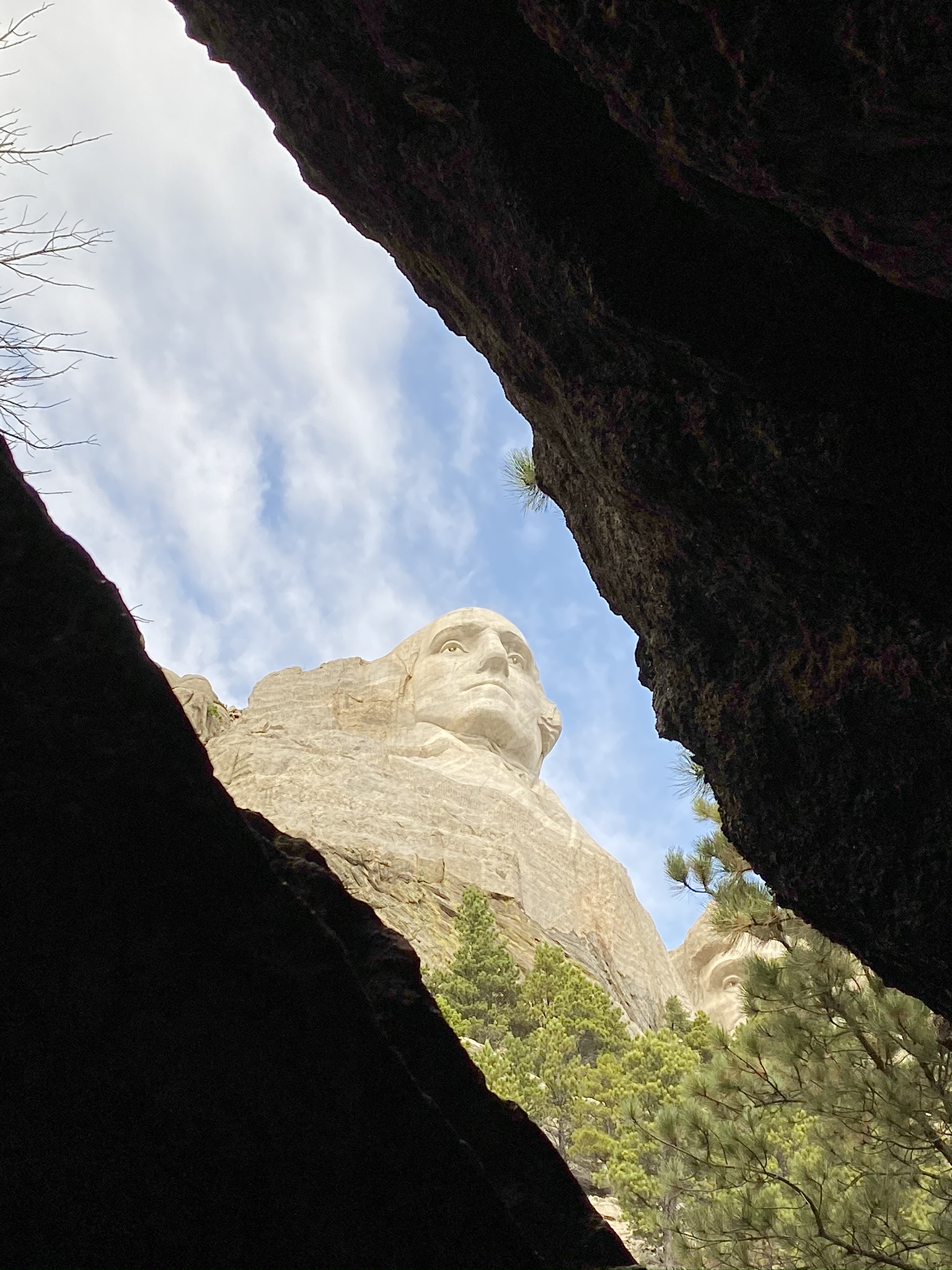
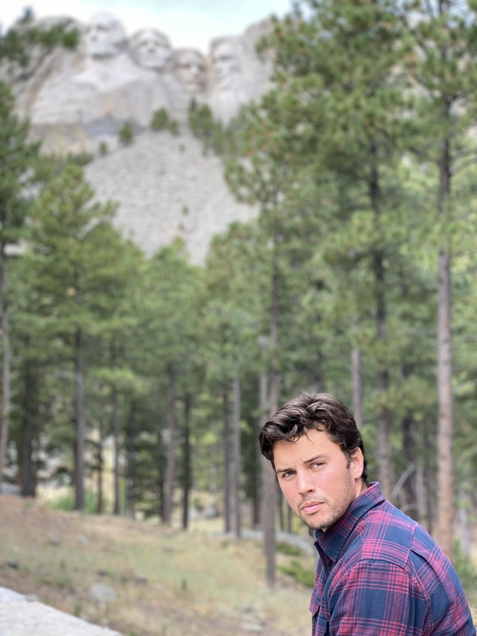
I dropped Noah off at the Rapid City airport midday on Saturday after a quick morning nine. We’d spent the previous day craning our necks to see Mt. Rushmore and doing a very picturesque hike in Custer State Park. It had been a fantastic week. We’d both been accommodating of each other's desired itineraries, had many political and historical debates, and had gotten incredibly fortunate with the wildlife we’d seen. No lions, tigers, or bears, but bighorn sheep, bison, feral horses, rattlesnakes, elk, deer, prairie dogs, squirrels, chipmunks, and birds, birds, birds, oh my!
That said, I was somewhat glad to be back by myself. I was looking forward to putting on my audiobook and driving alone across a lonely landscape.
Highways and Byways
Roads were the lifeblood of my trip. I was on an interstate or U.S. highway almost entirely on my way from place to place. Most of that time consisted of setting cruise control to 80 mph and doing my best to not fall asleep as I sped across some supersized state. This was expected when I departed Boston. Distances needed to be traversed in tight time frames, so lollygagging on backroads was out of the question. What I did not expect was how much the history of our highways fascinated me, or how well their story explained the reasons for much of what I was seeing around me. So much so that when I felt the desire to put my trip on paper, I also felt like the story could not properly be told without also talking about the things floating around my head while on the road. Thus, scattered in the narrative of my trip, I will splice in topics that I found particularly relevant to my travels. Sometimes I searched out the topic, like when I downloaded a book about the National Parks before I left Boston, others presented themselves, like when I didn’t understand why I saw tons of wind turbines in Iowa, but few in neighboring ND, SD, and NB, even though those states sat on the best wind producing land in the country. I hope by talking about them you gain the context for why I was so excited to visit Yellowstone or see the oil rigs of West Texas and thus you enjoy the book more. Either way, these are not my original thoughts, more excerpts of books I listened to while on the road, combined with subsequent research and personal experiences. For this section, most of my information comes from Big Roads by Earl Swift, a remarkably engaging book given the topic.
In 1892 horses in New York City produced 6,000 gallons of urine and 2.5 million pounds of manure per day. With a horse for every six of the city’s residents, the city was drowning in an equine stench. Along with the cost of feeding and keeping the horses in good health, equal to the cost of maintaining the nation’s rail system, horses were begging to be replaced. Today there are only a few hundred horses left in the city. Long ago they were replaced by the motorized vehicle.
In America, the age of the automobile starts in many ways with Carl Fischer. Born in 1874, a sixth-grade dropout, prankster, and salesman, Fischer was transformed by his visit to America’s first auto show at Madison Square Garden. He returned to Indianapolis transfixed by mechanical buggies, sold his bicycle shop, and opened the Fisher Automobile company, the first auto dealership in the United States. To drum up sales he performed outlandish stunts: he dropped a Stoddard Dayton car from a sixth-floor downtown window and had it driven from the scene to show how sturdy it was; another time he attached a balloon to a Stoddard Dayton and flew out of town, promising to drive back from wherever he landed. Indianapolis loved it and Fisher became a local celebrity. The issue was that, no matter what he did on the sales front, American vehicles and the roads available to drive them on were woeful and far inferior to their European counterparts.
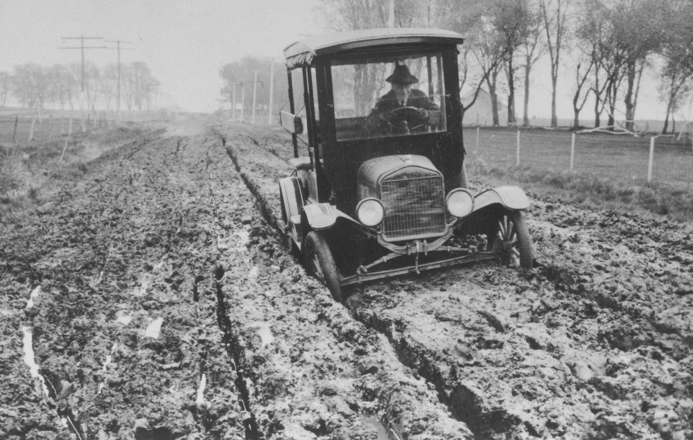
At the turn of the 20th century, the most common road improvement was to grade a dirt path in an attempt to smooth out its humps and bumps. A step up was a sand and clay mixture spread over an earthen bed which drained well and packed down hard with use. Above that was a gravel road that needed constant redressing due to constantly scattering pebbles. At the top of the pecking order was Macadam: a layer cake construction of crushed rock. Macadam consisted of a bottom level of large broken stones that were passed over with a heavy roller. Smaller broken stones were spread atop and pressed again by a heavy roller. Rock dust was then sprinkled on top of all that, watered down, and rolled a third time. Under the weight of the rollers, the rocks would stitch together forming a relatively smooth and stable surface. Yet in 1909, of the country’s 2.2 million miles of roads, only 8% had been improved in any way. During the rainy season, the unimproved dirt paths would become impassable and maroon farmers from markets for weeks at a time. The cars of the era were not much better, with hand-cranked starters, no tops, constant flat tires, and loud backfires.
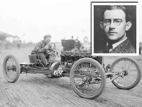
Fisher’s solution was to build an auto racing track where the best cars and road materials of the day could be tested and improved. With his hometown of Indianapolis vying with Detroit as the auto capital of the nation, he figured it would be as good a place as any to build his track. Using the finest technique of the day, bituminous macadam, Fisher constructed a 2.6-mile track with perfectly banked corners. Driving legend and friend Barny Olefield remarked, “two miles per minute can be made with no greater danger [on the curve] than on the flat.” Unfortunately, the macadam construction, though sturdy at slow speeds, was not capable of remaining stitched together under the strain of solid rubber tires spinning at high speeds. On the first day of racing, just halfway through a 250-mile race Louis Chevrolet caught a rock through his goggles and had to be walked to the hospital. Then during the last race on the final day of the opening weekend, the front tire of the car driven by local boy Charles Merse exploded and his car went careening into the crowd, killing many. AAA threatened to boycott any future races if the track was not completely overhauled. The local coroner blamed the deaths on the inadequate track conditions. Fisher vowed a complete overhaul, and with the help of friend Arthur C. Newby repaved the entire track with 3.2 million 10 lb bricks. Thus the Brickyard was formed, and two years later in 1911 at the first Indy 500, 80,000 spectators were in attendance. The winner was Ray Harroun, who ditched his riding mechanic in favor of a rear-view mirror, the first time such a thing had been used in an automobile.
Fischer, as well-known and connected as anyone in the auto business at this point, next turned his attention to a transcontinental road. Cars were flying off lots as quickly as they could be produced. Vehicle registrations were on the brink of topping 1 million in 1912, having quadrupled in four years. People loved the sense of freedom the car offered and found vehicles far more sanitary than their equine counterparts. Much cheaper too, after factoring in the cost of maintaining a carriage’s drive train. Lacking were good roads to drive them on. Any ride into the country was an adventure requiring a four-foot plank, multiple spare tires, mechanical knowhow, and a tent if things went south. And that was when conditions were good. In the rainy season, dirt roads turned into mud, and transportation was put on hold. Fisher had little faith that government was up to the task. “The highways of America are built chiefly of politics, whereas the proper material is crushed rock or concrete.” He thought it was up to industry to lead the way and show what was possible. He envisioned a transcontinental highway spanning a dozen states from New York to California. Dry, smooth, safe, and not just passable, but comfortable in the rainy seasons. At a dinner in Indianapolis of 50 or so industry leaders, Fisher unveiled his plan. The highway would follow existing roads for much of its length, new construction connecting just those pieces which failed to connect, and then over time upgrades would modernize the highway to a uniform standard. Industry would provide the materials for the job, costing about $5000 per mile, and the public the muscle, with volunteers and local governments actually doing the labor. “Let’s build it before we are too old to enjoy it!” he implored his audience.
After lavish scouting trips, with western governors promising the moon and more to the passing highwaymen, the newly named Lincoln Highway was routed. Leaving New York it would follow a well-established route down to Philadelphia and across the midsections of Pennsylvania, Ohio, and Indiana, to the outskirts of Chicago, before charting a new path through Cedar Rapids Iowa, Omaha Nebraska, and Cheyenne Wyoming, onto the old pony express trail through Salt Lake City, and all the way to San Francisco. On Halloween day 1913 the Lincoln was dedicated with fireworks, dances, and speeches in all the towns along the route. Over the next couple of years, these towns took pride in improving their sections of the highways. New Jersey remade its section in brick and concrete. In Illinois, thousands of adults and children voluntarily wielded picks and shovels trying to make their section the finest along the entire route. The improvements made a difference. Double the traffic passed through Ely Nevada in 1915 than the year earlier. Fish Springs Utah saw an uptick to 225 cars from 52 two years before. One driver even traveled its entire 3,389 mile length in 6 days, 10 hours, and 59 minutes.
Soon imitators were everywhere. The Jefferson Davis Highway from DC to SF by way of New Orleans; The Lakes to Gulf Highway from Duluth Minnesota to Galveston Texas; Ficher’s new project, the Dixie Highway from Chicago through Indy and Nashville, to his new development on a sandbar in Florida; and 250+ other named trails. More than 40 crossed Indiana and 64 were registered in Iowa alone. With each trail came a unique blaze design, tacked to trees, fences, and telephone poles, along its route. The Lincoln’s for example, was red, white, and blue, with a black capital L on the white stripe. The trouble was that the trails overlapped, a single stretch of road could be co-opted by a half-dozen trails, and the telephone poles could end up looking like a bunch of help wanted posters. Thus deciphering where one blaze ended and the next began, and which blaze you were supposed to follow, was a dangerous proposition, especially when many of the trails were more branding than an improved road. They were patchwork and inconsistent, but in total, they created our nation’s first interstate highway system. Further progress would have to wait until after The Great War.
Part two of our highway story begins as Americans returned from the Great War victorious and took to the streets like never before. 1,396,892 cars were produced in 1919, the first year after the war; 1,731,435 cars two years after that. The cobweb of trail associations with their semi-improved roads wasn’t cutting it. The call for a national grid of federal highways grew deafening. With the speedy passage of the AASHO (The American Association of State Highway Officials) bill on Nov 9, 1921, they had their answer. States would remain the source of highways plans and the federal government the enforcer of design, construction, and maintenance standards. Each state was to designate a system of roads on which all federal aid was to be spent and which did not exceed 7% of the state’s total mileage. Additionally, each road within the system was to be labeled as either a primary or secondary road. The former being of an interstate nature; the latter connecting farms to market, small towns to one another, and other strictly local destinations. With its passage, the single most important ingredient of our modern road system came into being.
At the head of its implementation stood Thomas Macdonald, an Iowan curmudgeon, who as a kid required his younger siblings to call him sir, and would go on to serve as highway chief for six consecutive presidents. Called chief by everyone, including his wife, he was a meticulous engineer who had the respect and trust of everyone in Washington. Facts, figures, and research were the backbone of the department’s decisions under his leadership. Thus after the department sent maps to the 48 states asking for their primary and secondary road candidates, he asked a trusted young engineer Edwin W. James to lead a committee to come up with an internal model of where they thought roads should go, so the department could better judge the quality of the state’s choices. For this task, James collected the population totals for each county from the previous census, plus four economic indicators: agricultural production, manufacturing output, mineral yield, and income from forest products. Then he calculated the percentage contribution each county made to the state’s total population. He repeated the exercise for the four economic indicators. Averaging the numbers gave a quick and dirty gauge for a county’s relative importance. James then shaded in each county, darker for increased importance within the state. Once finished the committee had a map with best to worst routing possibilities staring them in the face. Good routes would be darkly shaded and go through the more economically productive counties. It would also be easy to see that a state's choice was clearly erroneous if it went through lightly shaded counties. The state’s nominations started rolling in and for the most part adhered to the federal model. In total the proposed roads would stretch 168,881 miles and reach 90% of the nation’s population, with not one or two transcontinental routes but dozens.
Next up was the naming of the new roads. At a joint meeting of state and local highwaymen led by Macdonald, four pillars of road design were hammered out. First, it was quickly agreed to number the nation's roads rather than naming them and to choose the routes to be included before applying the numbering. Second, Frank Rodgers of Michigan doodled a shield, like the one that adorns the $1 bill, and passed it to Edwin W. James, who added a small US over a large route number and the name of the state above the shield’s crown. The design was approved on the spot as the marker that would identify all the routes included on the numbered system. Third, the men formally adopted the red, yellow, green, stoplight sequence, and the octagonal stop sign, painted black on yellow at the time because a durable red paint was not available until the mid-50s. The actual numbering of the system was delegated to a committee chaired by James to decide. AB Fletcher, a former California highway chief, came to James proposing the grandest highway of them all, stretching from the top of Maine down to the southern tip of Florida in Key West, with the fitting name of highway 1. Thinking about it James wondered where 2, 5, 10, and 50 would be laid. A pattern suggested itself, “It stares one in the face, it is so simple and adjustable.” He would assign even numbers to all the east-west highways and odd numbers to all those running north-south. The numbering would be lowest in both directions in the northeast corner of the country at Maine’s border with Canada and would climb as one moved south and west. One or two-digit numbers would denote principal highways, with three-digit numbers signaling a spur or variant of a main route. To bring more order, the major transcontinental routes going east-west would have numbers ending in 0 and the most important north-south highways would have numbers ending in 1. Thus with Route 2 running east-west in the northernmost climbs and Route 98 running deep in the south, route 50 was almost guaranteed to run like a belt across the country’s middle. Likewise, the intersection of routes 21 and 60 would indicate you were towards the east and just a little south of center. Unfortunately, when the agriculture secretary signed off on the plan, there were scores of complaints from trail associations about their assigned numbering or lack of inclusion and from states about their lack of major routes. The most serious complaint came from Kentucky Governor William J. Fields, who pointed out that route 60 did not run from the east coast to the west as one might predict, but from Chicago on a long arching route through St. Louis, Tulsa, and Albuquerque to Los Angeles. US 50 missed Kentucky to the north and US 70 missed it to the south, so US 60 in theory should go through his very important state. With a contingent of his state’s congressmen, Fields took his case to the chief. Macdonald was won over by Fields’ use of logic to point out the flaws in the map. The route from Newport News VA to Springfield MO, running through Kentucky would now be named US 60 and the Chicago to LA route renamed route 66. Thus the historic Route 66 was born! That was not the only anomaly in the numbering though. Highways braided, sometimes in their proper sequence, but other times not at all. US 11 for instance curved so much at its southern end that it ended west of route 49. The Lincoln, the nation’s first mother road, became route 30 from Pennsylvania to Wyoming, before turning into a half dozen other numbers towards its end.
The very next year after the AASHO bill’s passage, 10,000+ miles of federal-aid highways were built, with Motor Life Magazine saying of Macdonald, “At his nod, millions move from the US Treasury. Neither Morgan, nor Rockefeller, nor Carnegie, ever had the spending of so much money in so short a period of time.” Meanwhile, the automobile industry continued to boom. In 1922 Essex developed the first enclosed car, sealed off from the elements, making motoring a year-round possibility. In 1923 American factories produced 3.9 million cars and trucks with registrations topping 15 million. With all these new highways and new drivers, businesses started appearing on the roadside catering to the motorist. Lodging began simply with towns offering public campgrounds equipped with a tent site, fire ring, trash can, and parking spot. For-profit campgrounds then sprang up boosting offerings such as little cabins for those not inclined to tents. The idea took hold and roadside cabin camps were available coast to coast. Some went as far as offering Simmens or BeautyRest beds and dropping cabin from their name in favor of motor court or motel.
These new roads were not just a new toy for the weekend joy ride though, they were fundamentally changing the appearance of their surroundings. When personal speed had topped out at a horse's trot, cities tended to be compact and mostly circular in shape. The invention of commuter rail allowed workers to live along the rail lines; resulting in development like the spokes of a wheel as the train lines radiated out from the city center. The advent of the car filled in the in-between places and then began to grow outwards.
It did not take long for the new US highways, built right through the center of towns, to start clogging up with the incredible influx of new vehicles. As they did, the bypass movement began. The theory went that by building a route around the city much of the traffic would be diverted around the clogged core. Unfortunately, it would be discovered that most of traffic was intra-city with a very small contribution being made by through travelers. Journeys of less than 30 miles accounted for 88% of all trips, and those of greater than 500 miles accounted for <.1%. The bypass failed in another way as well. With cities sprawling outward a new bypass would in 5 years be gobbled up by the city. Businesses would sprout up on its edges and a new bypass would need to be built even farther out.
By the 1940s people came to see that the US highway system, and subsequent bypasses, were not the solution to all their congestion troubles. As Benton Mackay, the father of the Appalachian Trail, said of the US highways, “the flanks are crowded with food stands, souvenir shops, and billboards, each an eyesore, and parking lots and driveways a potential hazard….A break from America’s equine past required a highway completely free from horses, carriages, pedestrians, towns, and grade crossings. A highway built for the motorist and kept free from encroachment except for the filling stations and restaurants needed for his convenience.” He was asking for a grade-separated, limited access highway with all the fluff removed from its sides.
Little did Mackey know but a plan for such a system was already underway. In 1938 Macdonald got called to a meeting with FDR in the White House where the president drew six blue lines, three vertically from north to south, and three horizontally from coast to coast. He was intrigued by the idea of building such roads and asked the chief to look into the matter and report back.
A few weeks later Macdonald received a similar request from Congress to report on the feasibility of such transcontinental routes. Titled, Toll Roads and Free Roads, the report was split into two parts, on the feasibility of transcontinental toll roads, and an alternative conceived of by the bureau. In summary, it said that the six transcontinental routes were buildable sure enough, but that they would not address the country's true highway needs, nor recover their costs in tolls. The cost of such a system would be $184 million per year through 1960, but by the most optimistic estimate, they would recover only $72.4 million in tolls each year. Even the NJ to CT section, the busiest in the system, would fail to break even. Plus coast to coast traffic amounted to only 300 cars per day. Only 800 cars traveled to the west coast from any location east of the Mississippi. Such demand did not justify a huge public outlay. Macdonald thought that an overbuilt road was every bit as shameful as a deficient one. Unless it was justified economically, it failed, regardless of its engineering.
Part two of the report, the alternative, suggested a 26,700-mile system of free highways. It turned out to be the blueprint for the modern interstate highway system. Its mileage would be twice that of FDR’s six transcontinental routes with most of its legs, not superhighways but two-laners, no more and no less than their usage demanded. The second part of the report also went out of its way to emphasize the need for urban highways. Congestion wasn’t caused by thru-traffic mixing with local, it was caused by a multitude of small movements by locals. For example, of the 20,500 vehicles entering DC each day, only 2,269 or 11% were by-passable. The answer wasn’t to bend a highway around a city but to drill it right through its middle. As for tolls, they had no place on these or any road. Roads were a birthright akin to public schooling. Plus tolls saddled engineers with a no-win situation; to attract users the toll road had to offer a better product than parallel free roads, which limited the possible improvements to those free roads no matter how badly needed they were. Alternatively, improve the free roads too much and your toll road would lose too many customers and require state subsidy.
Looking past the war, FDR saw the need for re-incorporating millions of fighting men back into the labor market and retooling the country’s high revving war industries once the fighting stopped. Thus in 1943, he sent an updated draft of the report to Congress, urging prompt action to facilitate the acquisition of land, the drawing of plans, and the preliminary work which must precede actual construction. It received a warm reception on the hill and in 1944 Congress incorporated the proposal into the annual highway bill with little fanfare. It went “There shall be designed within the continental United States a national system of interstate highways, and which specified such a system should not top 40,000 miles in length and should be so located to connect by routes direct as practicable the principal metropolitan areas, cities, and industrial centers to serve the national defense and to connect at suitable border points with routes of continental importance in the Dominion of Canada and the Republic of Mexico.” The bill also specified a quarter of each year’s appropriation could go towards building urban highways. Unfortunately, the bill provided no special financing for the system or a timeline of when construction would begin. Yet it was still a major step. It committed the interstates to paper, now all that was needed was to find the money to build them.
Years passed and the need for the new Interstates only grew. Population numbers exploded. New Orleans doubled in size in the ’40s. SF multiplied 2.5 times its pre-war size. And more cars than ever were getting pumped onto the nation’s roads. In 1949 three fourths of all the cars on the planet were located in the US. New York alone thought it would cost $1 billion to restore its roads to the efficiency they enjoyed in 1930.
The theory goes that Dwight D. Eisenhower was inspired to build the Interstate system by two trips he took earlier in his career which showed him the necessity of good roads. The first was in 1919, when as a young officer he took part in a military caravan to the west coast along the Lincoln Highway that was felled by every type of misfortune a road trip back then was liable to, due to the inconsistency of road conditions. The second was advancing across the impeccably built German autobahns on the Allies’ march to Berlin. Wrong. The interstates were a done deal in every major aspect except for financing by the time he entered politics. On the day when FDR called the Chief to his office and drew those six blue lines, Eisenhower was serving in the Philippines as chief of staff to Douglas Macarthur. When FDR submitted the highway report to Congress Ike was just taking command of allied forces in Europe. When the system received its first paltry $25 million allocation Ike was the head of the West’s cold war alliance. In fact, by the time Ike took office in 1953, the system had been in existence for 8 years. Nevertheless, as I drove on I-90 west out of Buffalo with the sparkling water of the Erie on my right, it was Eisenhower’s name on the little blue sign which adorned the shoulder of the road. That is because, with some encouragement from Ike, Congress passed the Federal-Aid Highway Act of 1956, funding the system Macdonald and Fairbank had put on paper 18 years earlier. The bill stipulated 90% federal financing of a 40,000-mile Interstate system, to be built over the next 13 years. The money would come from new taxes on tires and gasoline, which would be put into a new Highway Trust Fund to be used only for highways.
The bureau, with a new head engineer Frank Turner, a soft-spoken bus-riding Macdonald protege who had proven himself on the Alaska Highway and by helping rebuild the Philippines after WWII, had been busy in the intervening years testing the best materials and designs for the new system. For signage they hired a corps of engineers to drive around a parking lot at night peering at signs containing six words, balk, farm, navy, stop, zone, and duck, in different combinations of typeface and spacing. Green, blue, and black signs were also tried. Nearly 6 in 10 favored a green background, up and down lettering was preferred to all caps, and as spacing between letters increased so did the distance at which people could read them. To determine the proper road material, six test loops were built of varying paving material and thickness, 836 sections in all, on which army transport soldiers would drive 126 trucks around in circles for 19 hours per day for 2 years. By the end, the soldiers had racked up 17 million miles. The conclusion, the thicker the pavement and subgrade, the better. Since the numbering system of the US Highways had worked so well, it was recycled with a few minor alterations to the new Interstate system. To avoid confusion of overlapping numbers between the two systems it was proposed that no state would have an Interstate and US highway with the same number within its borders. To accommodate this, the Interstates would be lowest in the south and west and highest at Maine’s border with Canada. Plus, they would ditch naming roads I-50 and I-60 to avoid overlap across the country’s middle. Additionally, the major north-south routes would now end in 5 instead of 1. So if you were at the intersection of I-10 and I-5, it meant you were in the south-westernmost part of the states. It also meant that for a road like I-90, which most Bostonians think starts at their city’s airport, actually starts all the way west in Seattle, and terminates at Logan.
Designed, tested, and now finally financed, the largest public works project in history was underway. Billions started to flow from the government’s purse strings, each billion creating 48,000 full-time jobs for a year, consuming 16 barrels of cement, 1 billion pounds of steel, 18 million pounds of explosives, 123 million gallons of petroleum products, 152 billion pounds of aggregate, and enough earth to bury NJ knee-deep.
By 1962 about 12,500 miles or 30% of the system was open to traffic and another 34 miles were opening every week. They were fast, safe, and Americans fell in love with them. They loved the act itself, the feeling of the engine under their control. Americans did not have an automotive life foisted upon them. They did not buy homes far from work or forsake mass transit or pave over their cities because they were manipulated into doing so. They wanted roads, they wanted the Interstates, and they wanted them pronto.
Just as with the US Highways, the changes brought by the new roads affected life far off from its paved borders. Small towns bypassed by the interstates found their livelihoods vanish. A gas station on US 80 lost 80% of its customers when I-20 was built. A motel on historic Route 66 in Qualpo Oklahoma bought a few years before for $28,000 went on the market for $5,000 and found no takers. Manufacturing departed cities for cheap, abundant land near the Interstates, which provided them with a ready distribution network. Chrysler credited the proximity of I-90 for building an $850 billion factory in tiny Belvadere Illinois and I-44 for its construction of an assembly plant in the Ozarks of Missouri. Led by jobs and the desire for a house and a yard, the suburbs boomed. No longer able to locate themselves on the road’s shoulder, housing and shopping developments migrated to exits and radiated out from there; nucleated development it would come to be called. With people and manufacturing jobs leaving, the central business districts of cities began to fall apart. Mass transit withered in the new environment, with low-density developments out in the suburbs and jobs spread out all over the place, there were not enough common destinations to make fixed rail lines viable. The only form of transportation suited to this new urban sprawl was the very agent of its change, the car. Thus, in a sick twist of logic, highwaymen believed that only more and bigger highways could entice suburbanites to make the trek back into the city center and thus avoid a complete abandonment of downtown.
The experience of driving changed as well. Everything sped up. Restaurants began popping up at exits catering to road warriors in a hurry. They used shorthands, a logo, a color, or a certain shape of the roof to signal their presence. They aimed to provide the driver with a predictable experience, such that a traveler might ask themselves, “should I search out a hit or miss local spot that could cost me an hour or should I grab a decent Mcdonalds burger at a great price and be back on my way in 10 minutes flat?” The latter option often won out, which is why today the look and feel of Interstate exits with their identical chain restaurants have more in common with one another than they do with the state or locale they are in.
Not everybody was overjoyed with these changes. SF had a vision of connecting the Bay Bridge and the Golden Gate Bridge with a looping freeway along the peninsula's watery edge. What they got was a 57ft tall double-decker expressway passing right in front of the Ferry Building and blocking the city’s residents from their historic waterway. The uproar of displeasure was so intense that on Jan 27, 1959, the Board of Supervisors approved a resolution opposing 7 of the 10 freeways planned for the city. Louis Mumford, the visionary social critique, found his way into the hearts of urban planners everywhere with his scathing critiques of the Interstates. “The experts have innocent notions that the problem can be solved by increasing the capacity of the existing traffic routes, or multiplying the number of ways getting in and out of town, or providing more parking spaces for cars. Roads in NYC were designed for a city of four-story buildings. Now in effect, we have piled three NYCs on top of one another. The roadway and sidewalks flanking them should, if they are kept at the original ratio, be 200 ft wide, the current width of a NYC block.” He went on, “Want to save the cities? Forget about the motor car, the solution laid in restoring a human scale to urban life, in making it possible for the pedestrian to exist. A choice was looming, for either the motor car will drive us all out of the cities, or the cities will have to drive out the motor car.” The most surprising critic of the new urban highways, though, was the man who spurred their financing. In 1959, on a drive outside Washington to Camp David, Ike’s limo bogged down in traffic due to the construction of a new Interstate. Riled, Ike demanded an explanation, for this was far too close to Washington to comply with Eisenhower’s notion of a largely rural intercity Interstate system. An examination of congressional intent ensued, but it concluded that every study on which the program had been based was explicit, the country’s highway needs were sharpest in the cities; Congress had read those studies, Congress had seen the proposed routes drawn out on a map, Congress had wanted urban routes. Eisenhower's displeasure with his own system would have to remain just that.
The collective acrimony over the damage of urban Interstates pushed Congress in 1968 to require two hearings on federal-aid highways. The first, a corridor hearing, at which taxpayers could speak their minds on a highway’s location. The second, a design hearing, at which they would have the opportunity to affect the project’s size and style. In addition, from then on, anyone unhappy with a state highway commission’s decision could appeal the matter directly to the feds on any one of 21 grounds: these included, the state had failed to weigh neighborhood character, property values, natural or historic landmarks, conservation, or the displacement of households or businesses. The grounds for appeal were so commonplace that every remaining interstate project was almost sure to be challenged, and left in a perpetual state of appeals.
This marked the beginning of the end for highway building in America. Some of the more difficult portions of the interstate system dragged on for years, but for the most part, the roads then are the roads now. The highway program had been bigger than the space program or atomic energy and had delivered on much of its promise. 70mph on the flat was attainable year around, and the fatality rate on American roads was just 2.52 per million miles driven, down from 16 per million miles driven in 1929. The cost to uproot people and pave over livelihoods became too high to build anymore though. As time went by, those cities, where the need for highways had been greatest, began calling for public transportation. People saw how the car had gutted many downtowns, leaving them ghostly quiet in the post-work darkness. Instead, they wanted a return of the tangled, creative, feverish energy only a pedestrian-focused metropolis could provide.
In 1982 they were successful in splitting the Highway Trust Fund in two with the new part designated for mass transit. Congress also authorized states to scrap existing federal aid highway plans and transfer the money to a mass transit project if they wanted to; thus states would no longer have to turn down federal aid if they did not want to build yet another highway.
Highwaymen, for their part, could not understand why they were becoming so maligned. Sure a few urban routes necessitated serious upheaval, but as a whole, the interstate system had been built quickly, efficiently, and provided a massive boon to the communities it passed through. Turner viewed highways as windfalls if you counted the amount of time they saved the taxpayer, the lives they spared, and the goods they carried. They were the only government activity that repaid the taxpayer with interest, and they more than compensated for whatever damage they caused.
Turner was no foe of mass transit either, in fact, he often spoke keenly of the need for it; of how no one mode of transportation could answer all of a city’s needs. In fact, he was downright bullish on the idea, as long as it was provided by the bus, a form of transportation he had commuted on for much of his career. He firmly believed rail base transit would not and could not attract enough riders to justify the fortune it would cost to build, partly because it could not be adapted to changing travel patterns. Cities had changed since the days of the streetcar, they were now spread too far and wide for fixed rail to take many people from where they were to where they wanted to go. Buses on the other hand made excellent sense. 50 or 60 could move as many people as 3,000 cars, provide almost door-to-door service, and follow routes that could be adjusted as needed. Plus, they piggybacked on an investment already in place, roads, thus requiring no costly new infrastructure. Like all of his views, his opinion on the bus was supported by research, by statistics. He could cite a 1962 study that found buses and subways moved people for about the same cost, 3.2 cents per person per mile, but that buses were far cheaper to put into service. He acted on his beliefs and in 1969 helped launch an experiment in the DC suburbs, reversible lanes in the median of 1-95 set up for buses alone. When the Washington Post staged a race between a car and bus making the same 11-mile commute, the bus won by 32 minutes. Soon commuters by bus outnumbered their traffic-jammed colleagues. Transit officials had to quadruple the bus fleet in order to keep up with demand. In the end, the experiment trimmed the highway’s daily load by an estimated 3,140 vehicles per day.
“Buses are the answer, the only answer,” Turner said. He could not fathom why environmentalists, the press, and the anti-highway activists didn’t embrace the bus, or why they were so smitten with rail-based transit. “The infinite combinations of routings and schedules required by today's urban citizenry dictates that any transportation system must provide flexibility of route, destination, and schedule. That’s why fixed route systems, which are basically spoke lines connected to a downtown hub, have such a hard time financing themselves in the fair box. And if they cannot support themselves in the fair box then isn't this a good warning that they may be failing to provide that service which the customer wants?”
His favorite whipping boy became the DC metro, a system covering 98 miles at a cost of $3 billion; an amount roughly equal to the capital region’s expenditure on roads since the founding of the nation, and about $4,000 for every household. “What a huge capital expenditure to provide for the movement of about 5% of the transportation load within DC’s metropolitan area,” Turner quipped. “Just the annual interest on the debt would buy about 5,000 new buses every New Year’s morning for the whole life of the metro.”
Personally, I do not have the knowledge to debate the merits and drawbacks of the urban Interstates. Growing up in New York City I saw how valuable the subway and buses were to the millions of people who took them every day. I either walked or took public transit every day to school and enjoyed the eclectic creatures I’d see every day. On the flip side, I have also seen how Interstates like the Cross Bronx ( I-95 ), the Deegan ( I-87 ), and the LIE ( I-495 ) are packed every single day with commuters, delivery trucks, and buses. Without them and the Robert Moses parkways it would be a nightmare moving into and out of the city at any time of the day. Were they worth the destruction of East Tremont and the countless other neighborhoods they drill through, I am not anywhere close to being able to judge.
The rural interstates on the other hand have been an unquestionable success. They save lives, time, and open up opportunities for millions of businesses and travelers. Maybe Fisher was right about the politics of his time being inept, but in my opinion, the Interstates and the US highways are an example of government at its best; building something that everybody wants, but no person, business, or state, can build themselves.
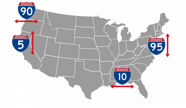
That near-universal experience of learning a word and then seeing it everywhere, happened to me all the time with the information learned by listening to Big Roads. I now spotted sets of old abandoned cabins by the side of US highways. I saw urban sprawl morph into nucleated development into empty pasture the farther out of town I went. I appreciated the desire for the Interstates when strip malls on the shoulders of US highways made the roadway clogged and dangerous. I now understood what direction roads were headed just from parsing the road number and its prefix. My imagination went wild driving across Utah picturing drivers getting bogged down in thigh high dust in this very terrain when on the old Lincoln Highway. Listening to this book was like being given the prism through which America’s physical development makes sense.
Colorado
As the old man back on Lee St warned, I was expecting Nebraska to be mind-numbingly boring; Mile after mile of endless grassland as far as the eye could see. It was exactly that. All the way to the horizon in every direction, nothing but mono-color golden grass. But I absolutely loved it! Its immensity was mind-warping. Rather than being flat there were rolling hills, huge swales, and elevated mesas. There were times when I'd crest a slope and have a view of flowing grass for miles in every direction. These were the great plains. No farming, no cattle grazing, no trees or bushes, no windmills capturing the howling wind, grass was all there was. Nebraska was like rooting for an underdog that wins. The beauty of the scenery was a complete surprise and I fell for it all the more because of it. For the next couple of days, all I wanted to talk about was how much I loved driving through Nebraska.
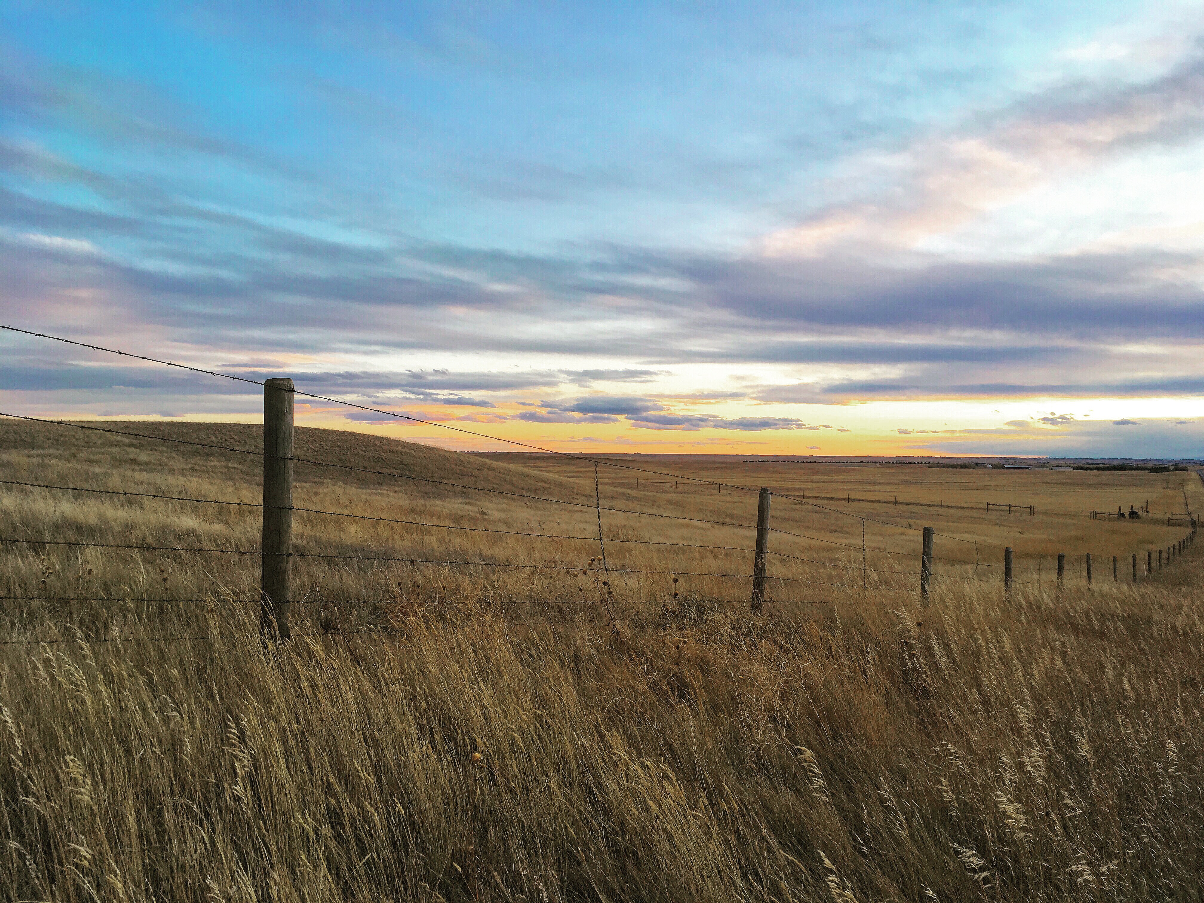
South Dakota to Nebraska to Colorado, the six-hour drive felt like nothing. I made great time, beating Madison and Charlotte to our dinner spot in Boulder. I walked around its very crunchy main street; Patagonia, North Face, REI, and all the other outdoorsy stores concentrated on a four-block stretch. Madison and Char surprised me as I was walking out of Patagonia, we hugged, happy to see each other, ate quickly, transferred my camping stuff into Charlotte’s car, and headed off into the mountains. I had proposed the idea of camping out Saturday night and hiking Sunday and they jumped at the idea. The forecast didn't look good but we were gungho. Campgrounds in Rocky Mountain National Park were closed this late in the season, but camping in the National Forests is always permitted. Winding our way into the mountains at 25mph we made our way to Arapaho National Forest, me terribly nauseous in the back seat. One hour later we had our spot picked out, and usedCharlotte’s car lights to illuminate the ground as we set up the tent. Too tired to put up both tents, we all piled like sardines into Madison’s two-person tent. We joked and laughed and talked about their recent moves from Boston out to Denver, and stayed up way too late as the sunrise would wake us up by 7. In the morning I looked up to see a thick coating of powder on the rain cover, four inches of snow having fallen during the night, and two girls on either side of me naked in their sleeping bags having overheated during the night in the cramped quarters.
It was cold. 18 degrees with a blustery wind. At the trailhead the wind was blowing so hard it was difficult to open the car doors; the snow swirling outside looked like dust after a helicopter departs, defying gravity and flying upwards. Lacking my winter coats, I put on multiple layers of shirts under my sweatshirt. I was frozen within the first 30 seconds. Fortunately, the girls were too, and we made it only half a mile up the trail before turning around.
We tumbled back into the car and drove down hoping the weather was better at a lower elevation. Sure enough, it was 53 degrees with that same howling wind down at Mt. Sanitas just outside Boulder. We had a lovely hike, with great views of the Flatirons, Boulder, and Denver off in the distance.
That is something I would come to learn about Denver. It was surprisingly warm in the city, but just an hour away a winter wonderland awaited. In December and January the average temperature was 47 degrees in Denver, yet some of the best skiing in the world was right next door.
It seems like everyone who goes vegan has a reason for it. It would be quite unusual for an omnivore in a bountiful land to just happen upon no meat, no dairy. Madison and her roommate Julia are for environmental reasons. Charlotte is vegan most of the time for a combination of environmental reasons and peer pressure, but charmingly scarfs fish down when the timing is right.
At that first meal in Boulder, Madison and Charlotte were discussing sharing a few vegan dishes which sounded good, so I decided then and there that veganism would be a fun experiment for the week. Beet salad, roasted brussels sprouts, tempeh with sweet potato puree and roasted chickpeas, greeted us that first night. I kept with it meal after meal, all week. Seitan Buffalo wings, quinoa bowl, vegan hummus plate with baba ganoush, impossible burger, fried cauliflower chicken, mac and ‘cheese’, and to top it off, carrot dogs - a boiled carrot inside a whole wheat bun with all the fixings.
It added some intrigue to an otherwise subdued visit. I was back at work, working 8-4 and a bit exhausted from the week in the Dakotas. I was totally happy to go with the flow, hang around, and eat. We prepared for their upcoming Halloween party, showed up to trivia late and drank at a nearby brewery instead, but mostly we ate. It was fun being part of the gang when we were ordering, rather than being the lone meat eater. I even enjoyed the food, at least most of it. I couldn’t get behind the fake meat. A well prepared quinoa bowl or beet salad and I was all over it. Vegetables and fruits are super tasty. Fruits after all are evolutionarily designed to taste good. But the seitan buffalo wings had a rubbery texture that made them look and taste like the moon food you might buy as a souvenir at the Air and Space Museum. And the whole plant-based burgers make no sense to me. Talk about processed food! They have 40+ ingredients.
That said, after a week of being vegan I could feel myself bumping up against the limitations. So it made sense when Julia said “after a while of being vegan you are looking for something different, and so people like the variety of fake meat.” From a business perspective that definitely seemed true. We went to some vegan-only restaurants, which Denver has many of, and they were all packed with fake meat enthusiasts.
Besides all the baby calves and chickens who were spared, the most important event of the week was the arrival of my bag with all my winter jackets. Back in Buffalo, I had called Travis the morning after discovering the disappearance and asked him to put up some MISSING posters. He said yes, but was not particularly punctual about putting them up. He presumed it was a lost cause so he enjoyed his weekend before putting up some posters on Lee St. Sunday evening.
I was overjoyed when I woke up at that Super 8 motel in South Bend Indiana, trudged, eyes all but closed, to spoon cereal into my mouth, and got a call from a resident of 12 Lee St. who said the bag was on their porch downstairs. Throughout the five hour drive to Cedar Rapids I got texts from three other people! saying that the bag was safely on the porch. Jeremy, an energy trader, who works three or four 12 hour shifts per week, had the day off and was enthusiastic about helping. He walked over to Lee, picked up the bag, and transported it over to the Cambridge Post Office to ship it to Madison’s House. $64.67 ground shipping to Denver and it was expected to arrive on the Monday of my visit.
It was late. Day after day I wore the same sweatshirt, worrying about the sub-zero temperatures in the forecast for Jackson Wyoming. Monday passed. Tuesday passed. I was leaving Thursday after work. Wednesday afternoon around 5pm Christmas came early!
Wyoming
America’s Least Value Inn. $64.99 per night but ripped comforters, harsh lighting, and inept wifi included. Having work starting at 8:10 am and the room already purchased I googled cafes in Rawlins, Wyoming. However, the closest internet cafe was Starbucks two hours north in Lander Wyoming. Thus I planned to get on the road by 6. If I was late and needed to take my morning call from the road no one would be any the wiser as long as I was online by 8:30 am, 10:30 am eastern. I executed the departure, leaving a little before 6 am, and progress was good until the sun started peeking over the horizon. It would have been criminal not to stop and try to capture the scene. Grasslands spreading to the distant mountains, the sun poking through some wispy clouds creating texture and variance to the glow. I’d make a stop, thinking it would be my last stop, but 15 minutes later the scene improved enough to demand another photo. 7:30 am rolls around and my phone loses service 50 minutes from Lander. Not being at my computer isn’t a disaster, but missing the meeting would create some serious side-eye, especially as this was my first week working remotely. I floored it, pushing Norman over 90mph, fear tightening my throat. Each passing minute, still no service. Hill after hill, civilization nowhere in sight, excuses flying through my head, none of them holding more than a drop of credibility. 7:40 am, 7:50 am, 8:00 am, Wyoming flying by, the beauty of the scenery now going unnoticed. 1x pops up on my screen, followed shortly by 3G. I couldn’t believe my luck, I was still out of sight from any town, no identifiable change in location, 8:06 am on the clock. It took the phone a few seconds to start ringing but miraculously connected. So, so lucky! Then the call dropped over the next hill. 3G returned again but no matter if I stopped the call kept failing after 10 or so seconds. 15 more tries later I arrived in Lander at 8:36, the stoppages from trying to hold service causing some extra delays. Grimacing, I opened my computer. I still had no excuse. If only I had picked a better hotel I could have worked from my room! If I’d not stopped to take those photos I could have gotten to Lander on time! If I’d thought that I might lose service I could easily have left earlier! Now I was the 25-year-old punk who’d been given remote work and immediately slacked off.
“Hi All - talking to new FX man Andrei this morning, meeting canceled. I’ll catch up with you all later in the day.” - Mark
It was the first time the meeting had been canceled in months. Just a fun little morning scare.
You come to learn that parked cars on the shoulder indicate wildlife is likely close. One car and it might be nothing or a passing dear. Five cars and you have bison, elk, or bighorn sheep. Fifteen and you have a grizzly. Driving from Lander through the Togwotee Pass en route to Jackson a hub of commotion confronted me. So many cars, it was difficult to parallel park on the shoulder of a US highway! 30 people were stationed looking over the railing. I was extremely curious to see what could be creating such a fuss. A momma and her young cub were 30 yards down the bank lounging in the early season snow. Felecia, the mamma, had been relocated here in 2016 after being deemed too close to civilization and had since made her home right there near US Highway 26, often crossing the road multiple times during her day’s meandering. The photographers had been at this spot just as long. Following Felecia year after year, they learned her personality and her habits. In the process they had gotten to know each other too, spending day after day watching and waiting together. Now they had a new personality to learn. Pepper had been born in the den early that year and was now the size of a duffle bag. She'd had an eventful year. Separated from her mother for a month during the summer, she had been written off by researchers and onlookers. She survived off the early season grasses and the occasional small rodent. Reconnected now she looked carefree resting her head on her mother's belly. I spent an hour with them, watching their minute movements and chatting with the photographers.
The photographers were positioned in a line just over the railing pointing their lenses at the two grizzlies, each sporting a telephoto lens six to eighteen inches long. Capable of taking 100 photos per second, the cameras created a machine gunfire signal to a distracted chatter like myself that it was time to look. And yet not much happened. Only once did they get up on all four legs, only to return to their reclined positions moments later. Yet each scratch or affectionate touch of mother and cub would produce squeals of delight and a ripple of shutters down the line.
“Sometimes Otters, or Bison, or Elk, but most days we spend up here. We are bear people. They just have so much more personality.” Day after day, hour after hour after hour after hour, they watched the lives of these two. I got an acute thrill seeing any new animal on the trip, but to watch the same creature so intensely felt like vicarious living.
With the two bears showing no signs of activity and the sun setting over the Tetons I bid farewell to my new friends and headed down the road. Variety beckoned.
BEAR ATTACK!
Are you prepared to avoid one?
Avoid hiking alone. If a bear attacks during a surprise encounter, play dead. If the bear persistently stalks you then attacks - fight back!
A nice greeting as I started my 10-mile solo hike up Death Canyon in Grand Teton National Park. If I had kept my head in the sand for the previous two days I wouldn’t have batted an eye at this sign, thinking such sightings were so rare there was nothing to concern myself with. Instead, all I had been hearing since arriving in Wyoming was bear, bear, bear. There was the grizzly sighting on Togwotee Pass. There was Sam, my host, telling me all his bear run-ins and that I needed bear spray. There were the reviews on alltrails.com where every other reviewer claimed to have turned around on this hike because a bear was on this trail. And finally, there was this sign, whose headline at first made me think there had been a bear attack in the area recently. All told, I was spooked.
I have quite the imagination, and sometimes it gets the best of me. When I was 10, my parents left the house early and I had an hour alone before I was to talk the 9 blocks to school. I started running through my options if burglars broke in. Home Alone was my favorite movie and I was playing my own version of it. Boobie traps, weapons, hiding spots, all were conjured to mind. In the bathroom? They would absolutely find me. Under the bed? Who doesn’t look there. But oh, my closet, without a doorknob, once closed a screwdriver was needed to open it. At this point, I had convinced myself they were coming upstairs at that very moment, so I pushed my way into the overflowing closet, creating just enough space for my body, face up against the door. Then I closed the door until there was just a sliver of light shining through. They would probably open the door if it was ajar though. So I pulled on the door a tad more until it clicked closed. That's when my brain switched back on and I knew I was in trouble. I needed that same screwdriver that was in the kitchen to wedge it into the hole left by the knob to turn the latch, in order to free myself. I had also managed to leave my Motorola flip phone on the table 4 feet the other side of the door. I tried rummaging around in the pitch dark closet for something else that would turn the latch. A pencil, a rolled-up manilla folder, my finger, old soccer trophies. No luck, I was officially stuck. I started screaming, hoping the workers in the apartment above would hear and come to my rescue. I tried to break down the door, pushing against the mountain of stuff with my back I pressed against the door with my feet, bowing the door outwards. Some serious movement, but the door remained shut. Exhausted, hopeless, and crying, I fell asleep almost vertically. Upon waking up I tried breaking down the door with increased vigor; bowing out the door six inches. CRASH. The mirror on the far side of the door cracked and crashed to the floor. My father, who happened to be back at home after a morning meeting, came running in, opened the door, and found a puddle of a son. A shower later I was sent for an afternoon of school.
My imagination started rolling here as well. Having tried to get to the trailhead by way of the dirt road and finding it too rutted and treacherous for Norman, I parked at the end of the paved section and walked the mile to the trailhead instead. A light snow was falling, giving the feel of winter even in late October. Temperatures were hovering around freezing as they would all week and at 6,000 feet there was already a few inches of snow on the ground. An 8-mile trail, plus the two miles for getting to and from the trailhead, and I had a full afternoon ahead. I’d been wanting to hike and listen to my Theodore Roosevelt audiobook, but quickly thought better of that as my ears were my most perceptive sense out here.
Thus chomp, chomp, chomp of my footsteps, the occasional bird and the wind were all that broke the quiet. That gave all the more territory for my mind to roam. Looking for something to occupy itself with, my mind started playing out beat attacks in my head; a surprise encounter; a grizzly stalking me and then attacking; spraying the bear spray upwind and debilitating myself instead; attacking back with a rock and winning; running downhill so that the bear would tumble over its short front arms and roll past me. Five hours gives you a long time to run through scenarios. Plus, with this early snow bears might be desperate to pack in some extra calories before hibernation.
Up 800 feet, back down, and now I was entering the woods at the base of the creek. 1,500 feet up from here to the cabin which marked the turnaround spot. Dense trees loomed ahead and I gave out a little whistle to warn any would-be bears of my arrival. If a bear stalked and attacked what could I really do, so I tried to remove the possibility of a surprise encounter. I got into a routine with it; whistle, hike, peek up at the rock faces rising into the clouds on each side of the trail, whistle again. Halfway up the trail large rock slides created perfect bear dens so I added a louder whoop to my arsenal. Whistle, hike, look at the cascading stream cutting its way through the canyon, whoop loudly, repeat. The snow was falling so beautifully, each flake floating down ever so slowly. If I turned around I could see the creek trickling into a little alpine lake. I was having a lovely if frightened time. Through the woods, back and forth along the switchbacks to the base of the rock wall on the right, and up into the high meadows where the log cabin was nestled.
I took a peek around the cabin, had a staring contest with a squirrel, and headed back down. It was 4:16 pm, a little less than three hours after I’d started, and sunset was at 6:04 pm. There was no time to lollygag, light was fading fast. Ice was forming on the trail as the temperature was dropping so I slipped and slid as I hurried back down the trail. Focusing my eyes downward on my footing, I was also on the lookout for any tacks on the trail which were fresher than my uphill footprints. The snow, still falling, was providing an excellent timing mechanism for any animal tracks. About a third of the way down I almost slid into a fresh turd on the trail. It was thick and mounded much like a human’s. In my mental state, bear poop was the only conceivable option. My reaction was to double down on my whooping and whistling, increasing the volume and frequency of both. Alone on the trail, not seeing another hiker all day, I didn’t care how foolish I sounded. I was fully aware of how annoying I must have been though and thought to myself how fair it would be for a bear to off me just to get some peace and quiet.
Another third of the way down the trail and I got distracted tracing rabbit, squirrel, and fox tracks as they darted across and down the path until a tree swayed and a growl came from the depths. I darted back up the trail 50 yards and surveyed my surroundings. Bear spray in hand and whoops spewing out, I proceeded slowly down the trail with my head on a swivel. No sign of what I had heard appeared though. Many minutes later I arrived back at Norman, just as the last whispers of light were being exhausted, 6:42 on the clock.
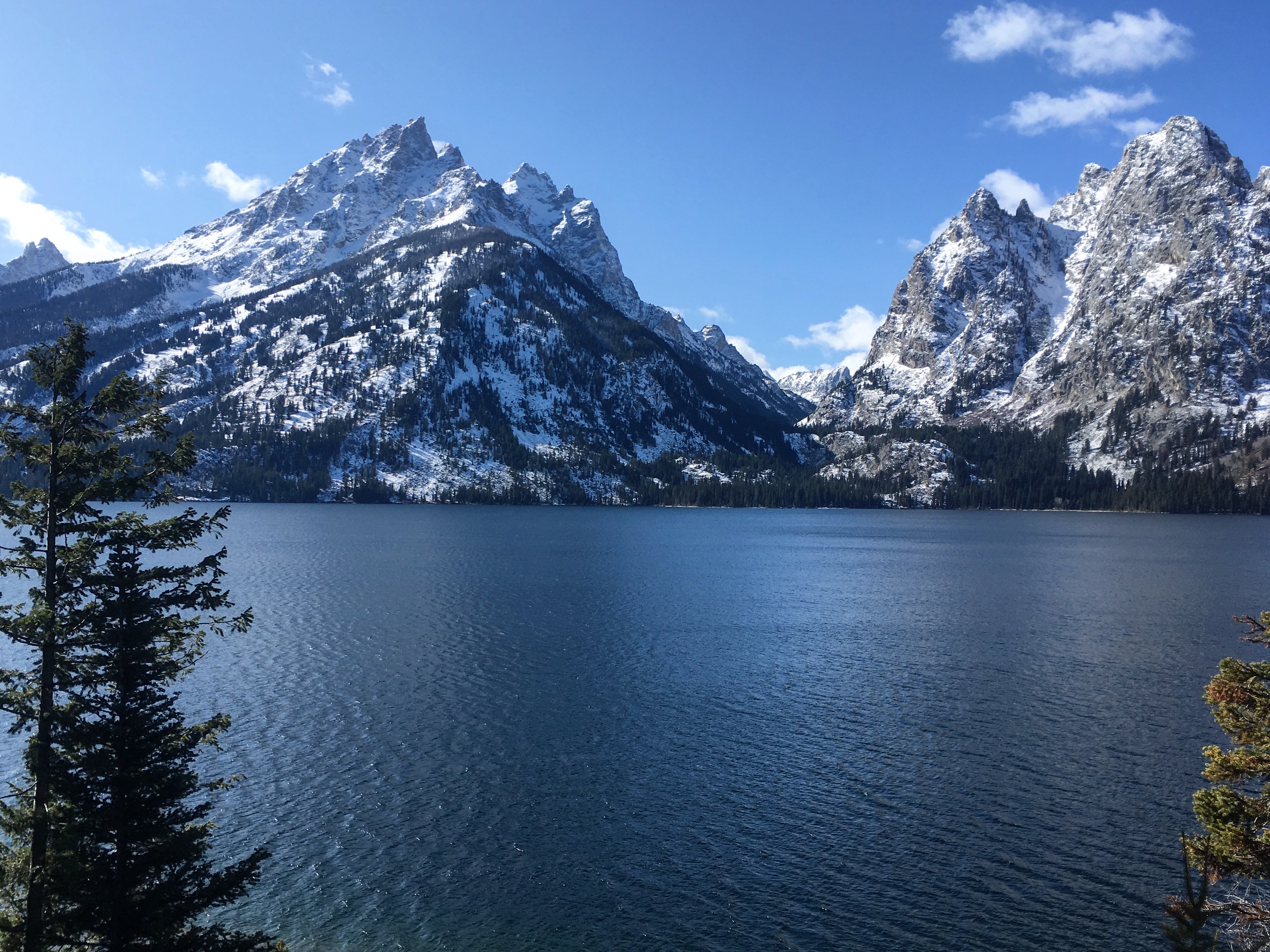
An Idaho Hoedown was on the docket that night. Some friends Sam somewhat knew had invited us to a Halloween party at a lodge somewhere in Idaho. Sam didn't have an address. Instead, he guessed as to its location based on google satellite view. Up over the pass we drove. A flipped car on ice with a cop car beside it greeted us near the top. Sam proceeded unbothered as if that was an everyday occurrence. As we pulled into the lodge, the setting was everything that could be imagined. An old ski lodge, which had since been taken over by the school department and rented out for $100 per day on the weekends. It was in an empty part of an already sparsely populated Idaho, with a clear sky and the full Milky Way visible above. A firepit marked the center of the dancefloor, bunk beds for 30+ upstairs, bonfire outside, and a commercial kitchen with snacks. The music was turned down low just as we walked in because the costume competition was being judged. A dragon with homemade flashing wings. A dominatrix and her boyfriend who was leashed and on rollerblades, both flashed the crowd at the end of their dance routines in case that would curry favor from the judges. A man who had an entire weather system floating from an umbrella above his head. And the eventual winner, a naughty Winnie the Pooh, decked out with a homemade honeypot and skimpy booty shorts.
Post awards the DJ put his large setup to full use, and all 50 people started dancing. About halfway through the evening, everything kicked up a notch when rollerblades appeared in all different sizes and we proceeded to congo line our way in circles around the lodge. We hadn’t known what we were getting ourselves into, Sam having very little idea of what this was going to be, but it was nothing short of the most fun Halloween party I’ve ever been to. The bonfire raged, the DJ played as loudly as he wanted, and we danced around on our roller skates until the wee hours.
Absolutely crushing news as we awoke Sunday morning, the crown jewel of the trip would be missed. Yellowstone was closing for the season the following weekend, and now the roads were closed due to the heavy snowfall received overnight. I had dreams of watching the wolves in Lamar Valley, hearing my echo in the Grand Canyon of the Yellowstone, and watching the geysers of God’s laboratory. Yellowstone was the first stop marked down and now I would have to drive on without seeing it. A two-hour drive each way from Jackson, plus the time actually in the park, it would have been difficult to fit it in on a single weekend day, much less midweek. Plus with three of my code changes being released the upcoming week, and it being my second week working remotely, it would be poor form to take a day off. If that wasn’t enough, the roads were closed indefinitely, no guarantee they would be cleared before the end of the season with a cold week in the forecast.
Negative five degrees when I walked outside Tuesday morning, high of 31 for the week. I plugged away at work trying to crank these three projects out the door. Thursday rolled around, a blue bird day, and I had two of three merged in and the third just waiting for its required approvals. I logged off at 2 pm, 4 pm eastern time, drove two hours north, with hopes of seeing the major hits: Old Faithful, the Prismatic Lakes, Grand Canyon of the Yellowstone. Hopefully some wildlife along the way and then I’d drive back when it is totally dark around 7 pm. At least that was the plan.
“Snow Tires are required on all park roads.” A friendly park ranger informed me at the south gate.
“Yep, no problem. Thank you!”
The bluebird day in Jackson had turned into a semi-serious snowstorm at the gates of Yellowstone. The roads were a bit icy but this was my only shot at Yellowstone. Two-wheel drive and two-year-old tires be damned. I tested my brakes every once in a while and they seemed up to the task so I drove on through the low visibility snowfall. On either side of me, I saw hints of beauty; a river plunging through a 40ft canyon, Yellowstone Lake whipped with whitecaps, rolling hills speckled with conifers. But no more than 50ft of visibility was possible.
Old Faithful had received its name for being the most predictable of the geysers. Park rangers were able to predict within a 90 percent likelihood the 20-minute window during which it would explode. It was 4:30 pm when I arrived with the next predicted eruption at 5:45 (+-10 minutes). Thus I drove on, up to the prismatic lakes. Billowing with steam it looked like hell was burning through the earth's crust as the gases from its noxious cauldrons floated up into this majestic winter tundra. Engulfing me with sauna thick steam the view of the prismatic lakes and their vibrant colors were almost wholly obstructed. A strong winter breeze sometimes blew away enough to catch a quick glimpse at the side of the formation. 400 degrees and miles deep, the lakes produce nutrient-rich water which spills down over the flats and down into the river below. Along the way, rich mats of microbiomes pick off the nutrients and energy from the rapidly cooling water to form orange and red streaks with the grain of the streaks going with the flow of the water.
A disappointment from a color perspective, it was very cool to see the billowing smoke from all the different hot spots covering the valley as the ground and sky were covered in snow. It was especially cool seeing a few bison munching near a stream with smoke holes billowing around them, imagining the stories of Bison falling through a soft spot in the terrain and being boiled alive in the hot springs below. One of the first published accounts from Yellowstone talked about catching a fish in a cold spot and cooking it in a hot spot not more than five feet away. Here I could see how many places that would have been possible.
5:35 pm and I was in position at Old Faithful. It was a bit late, at 5:53 pm water spewed 25ft up into the air and steam billowed up hundreds of feet higher. I was entertained but not fully engaged. My mind was worried about the snow and my drive home. On the 10 minute drive from the Prismatic Lakes to Old Faithful, my tires spun excessively in the snow, having trouble with traction and accelerating. Then as I was arriving at Old Faithful I tried to make a left turn into the parking lot but fishtailed out of control, ending up perpendicular to the lane I was trying to turn into. I was going only 15mph. How was I going to fare on the drive back? It would require speed to make it up the hills, but then I would have trouble staying in control coming down.
When I got back to the car I got down on my hands and knees and tried to brush out all the snow-packed into the grooves of my tires. Even still driving didn’t feel great. Then five miles back towards Jackson I was confronted with a road-closed barricade. Craig Pass and the direct path back to Jackson was closed due to the snow. SHIT. I didn’t have my computer, there was no lodging still open in the park, and my Yellowstone App showed only one exit still open. It required driving north for 30 minutes, west out of the park into Idaho, and then down a couple of hours to Jackson. In good conditions, it was predicted to be a 3.5-hour journey. In these conditions, I was scared of going even 30mph. What choice did I have though? I had to give it a try.
Gripping the steering wheel tightly, sitting up in my seat, and peering out intently for any crossing wildlife, I drove over the snowy paths of Yellowstone. Treacherous at first and then down in elevation to the dry and manageable roads of Idaho. Along the way I saw streak after streak of red. Dark in a spot and smearing out for the next ten feet or so, they signaled the untold deaths experienced at the hands of automobiles. With the greater Yellowstone ecosystem encompassing a much larger area than just the park, animals are forced to cross roads with drivers going 70mph on dark unlit roads. Tragedy was inevitable. Streak after streak, nowhere on the trip came close to the paint job of these Idaho roads; as many streaks on the road this week as the rest of my trip combined. A deer and a fox were close on this night, but both managed to elude my headlights by a couple of feet. I got pulled over at the very end of the drive going 47mph in a 35 on some abandoned Idaho highway, but other than that I emerged unscathed from quite a Thursday adventure. It was a Halloween day to remember.
Our National Parks
The information in this section comes primarily from The National Parks: America's Best Idea by Ken Burns and Dayton Duncan. If you have the time and inclination you really must read the full text, it has so many incredible details about our parks that I will not go into.
“Are we the people who systematically drove a uniquely American animal like the buffalo to the brink of extinction? Or are we the people who created a uniquely American refuge for them in the world's first National Park, where they were ultimately spared from extermination? We’ve never resolved that question, this tension at our core. We take our identity from the land in ways people of few other nations do, and yet in our predilection to make the beautiful useful we often make it ugly - or at least soiled and todrey - and nothing and nobody is redeemed in the process. We end up fouling our own nest and looking for some other last, best place in which to start the process all over again. With boundless optimism, we set out to leave our mark on the world around us, but deep down there is an uneasiness, a sadness at the heart of our exorbitant energy: perhaps the world would be better off without our mark upon it.” - The National Parks: America's Best Idea
Our National Parks have not always been there. The idea of conservation itself is but young. For the early settlers in Jamestown and Plymouth, the land needed to be tamed and cultivated in order for them to survive. Back then it was nearly a fair fight between humans and nature. Certainly, nobody worried that the depths of the wilderness might someday no longer be wild.
By 1851, more than 200 years after the landing of the Mayflower, the United States was a nation of 31 states and 23 million people. Among other accomplishments, the nation had succeeded in completely fouling up its first great natural wonder, Niagara Falls. Every overlook on the American side was owned by a private citizen charging a fee for the privilege to look. “Tourists could expect to be badgered, and oftentimes swindled, by the hucklers and self-appointed guides who swarmed the railroad depot and carriage stands. The atmosphere was closer to that of a carnival than a cathedral.” Europeans publicly belittled Americans for letting such a majestic piece of nature become so blighted by commercial overdevelopment. To them, it was proof that the United States was still a backward uncivilized nation.
On the other side of the continent in 1851, during the California Gold Rush, an armed group of white men, named the Mariposa Battalion, were in search of Native Americans intent on driving them from their homeland and onto reservations. On March 27th, 1851 they stumbled into Yosemite Valley, named as such by one of the men, Lafayette Bunnel, who mistakenly believed it meant “full-grown grizzly bear” when in local language it actually meant “they are killers”. Bunnell found himself transfixed by the vista and later wrote, “As I looked, a peculiar exalted sensation seemed to fill my whole being, and I found my eyes in tears with emotion." With their return and the publication of Bunnell’s book, Discovery of the Yosemite, tourists began arriving in the valley to see its beauty for themselves. However, the difficulty of the journey limited their number. A trip from San Francisco required a two-day journey by train to the nearest town and then a 2-3 day trek by foot or horseback up rocky slopes to get into the valley. By 1864 a total of 653 tourists had accomplished the trip. Yet on May 17th, 1864, with Ulysses S. Grant’s invasion of Virginia bogged down in the wilderness campaign and Union forces averaging 2,000 wounded per day, John Connis rose in the US Senate Chamber to explain the bill he had just introduced, “I will state to the Senate that this bill proposes to make a grant of certain premises located in the Sierra Nevada Mountains in the state of California, that are for all public purposes worthless, but which constitute some of the greatest wonders of the world.” Connis’s bill proposed to do something unprecedented in human history. Setting aside not a landscaped garden or city park, but a large tract of natural scenery for the enjoyment of everyone. More than sixty square miles of federal land, encompassing Yosemite Valley and Mariposa Grove of big trees, were to be transferred to the care of the state of California, on the condition that the land never be open for private ownership and instead be preserved for public use, resort, and recreation. After only a few questions and no objections, the Senate passed Connis’s bill. A month later the house did the same, and on June 30th, 1864 Abraham Lincoln signed it into law.
Six years later and a thousand miles away a band of men from Helena Montana set out in search of the place where the earth boiled like mud, to provide answers to the rumors that had been swirling about for years. The rumors began with John Colter, a former member of the Lewis and Clark expedition, who described the area first in 1807, and was laughed at by locals who jokingly started referring to it as `Colter’s Hell`. A generation later, Jim Bridger, a legendary mountain man, came back with tall tales: “It included a Lake where a man could catch a fish in one spot and then swing his line over a few feet to instantly cook his catch in a hot spring. And there was a canyon so deep that a man could shout down into it at night and be awoken by his echo in the morning.” Credibility was hard to come by though, and a newspaper responded to an early account with a terse “Thank you, but we do not print fiction.” This band of respected men, which included the surveyor-general of Montana, the son of a US Senator, and a U.S. Army detachment, found the attractions of the area even more amazing than they’d imagined. However, in their meanderings about Yellowstone Lake, the nearsighted Truman Everts became separated from the group and for the next couple of days they searched for him in vain. Then on September 13th, a surprise storm dropped two feet of snow on them. With supplies running low, they had no choice but to turn back for home, leaving notes and bits of supplies for Everts at their campsites. Upon their return, the truth of Colter’s Hell was confirmed and the disappearance of Everts became a sensation.
“I strayed out of sight and hearing of my comrades. As separations like this had frequently occurred it gave me no alarm, and I rode on in the direction which I supposed had been taken until darkness overtook me. I selected a spot for comfortable repose, picketed my horse, built a fire, and went to sleep.” Everts thought the separation would be a momentary inconvenience, but on the second day his horse ran away, taking with it his guns, blankets, fishing tackle, and matches. Everything but the clothes on his back, a small opera glass, and two small knives. “Then came a crushing sense of destitution. No food, no fire, no means to procure either, alone in an unexplored wilderness, 150 miles from the nearest human abode.” He wandered for days subsisting on the bitter root of elk thistle, a small bird he caught with his hands, and a few small minnows which he ate raw, making him violently ill. He spent a night in a tree cowering from a mountain lion prowling underneath, suffered frostbite on his feet from the surprise snowstorm that blanketed the region, and found refuge for a week, huddling day and night, against the warm round of one of the thermal features. “I was enveloped in a perpetual steam bath. At first, this was barely preferable to the storm, but I soon became accustomed to it, and before I left, though thoroughly parboiled, actually enjoyed it.” At another hot spring, Everts broke through the thin crust above the spring and his hip was severely scalded before he could extricate himself. After a couple of weeks of wandering he managed to teach himself how to ignite a fire using his opera glass, but then one night in his sleep he jolted forward into the fire and severely burned his hands. On October 16th, 37 days after being separated, Everts was found crawling along a hillside, his starvation diet having whittled him down to a mere 50 pounds. The scalded flesh on his thigh was blackened, his frostbitten feet had been worn to the bone, and his burnt fingers were said to resemble a bird's claws. He slowly recovered though and produced a first-hand account of his ordeal, 37 Days of Peril, which Scribner's Monthly published for popular consumption. In 1972, inspired by Everts’ story and the extraordinary accounts of other explorers, Congress passed a bill setting aside 2 million acres of wilderness in parts of Wyoming and Montana as a public park, larger than the area of Delaware and Rhode Island combined. Because it was located mostly in Wyoming which was not yet a state but a territory, the new park was federal property, and thus Yellowstone became the world's first National Park.
Founded but in few ways protected or cared for, Yosemite and Yellowstone were in for a turbulent couple of decades. For eight years an early concessionaire, James Mason Hutchings, refused to acknowledge that all of Yosemite Valley, including the land he claimed as his own, was public property. He continued operating his hotel and acted as the valley’s unofficial host. Finally, in 1875 the sheriff evicted him, only for him to turn around and sue that the government had no right to designate unsold portions of the public domain for any purpose other than settlement. His suit prevailed in California, but the Supreme Court ruled against him, unintentionally establishing the park idea as constitutional. He was not Yosemite’s only problem though. In 1889, 20 years after John Muir had first stepped into the valley he would in time call “by far the grandest of all the special temples of all the special temples of nature I was ever permitted to enter”, he returned to find tin cans littering the valley, meadows converted into hayfields, a plan to splash colored lights upon the waterfalls to make them more beautiful, and each night a hotel owner would create a bonfire up at Glacier Point then light sticks of dynamite to send the bonfire cascading over the ledge and down a thousand feet to the valley floor. Muir tried to escape from the attractions by heading into the high country, but to his dismay, he found much had been compromised by lumbermen and shepherds. The picture in Yellowstone was no better. Congress had not appropriated any money to manage the park, thinking concessionaire fees would cover the cost of administration. However, the panic of 1873 bankrupted The Northern Pacific Railroad with their tracks stuck in Bismarck ND. It would be another decade before they were able to complete the route to Yellowstone. Thus, without a truly viable way of getting there, only 500 people visited in each of its first four years, too few for concessionaires to have a viable business. Hunters on the other hand had a very profitable enterprise. Bison heads were selling for $1000 each in London and taxidermists in Wyoming were offering $500 for a fresh kill. The beasts had once numbered in the tens of millions, stretching out across the Great Plains, but through reckless slaughter there remained only a few hundred, all located in Yellowstone. Unfortunately, the park lived in a bit of a legal grey zone, and so punishments were light; the worst being banishment from the park. Thus, at those prices, many were willing to take the chance. In early March of 1894, Edgar Howell slipped into Yellowstone dragging across the snow a toboggan loaded with 180 pounds of supplies. He then went about methodically killing as many Bison as he could, planning to sell their heads to a Montana taxidermist. On March 13th he was captured but was none too disturbed, saying he stood to make $2000 and he could only possibly lose $26.75 in supplies. He knew he could not be further punished and just hoped he’d be let off in time to get to Arizona for the spring sheep shearing.
These affronts to the National Park ideals got the gears churning around the nation. George Bird Grinnell, founder of the Audubon Society, founder of The Boone & Crockett Club with Theodore Roosevelt, and editor of Forest & Stream, gave Howell’s story prominent press, and not two months later on May 7th, 1894 a bill was passed outlawing hunting inside a National Park, enforceable with fines of up to $1000 and two years in prison. Fittingly, two months after its passage, Howell became the first man convicted under the new law, when he returned to Yellowstone in violation of his expulsion. Grinnell also teamed up with John Muir, a few years later, in a successful campaign to create Sequoia NP and an expanded Yosemite NP. The park idea was surviving, but barely.
Enter Theodore Roosevelt, the young, energetic, outdoorsman. Only a few years into his accidental presidency, he asked if any law prevented him from declaring Pelican Island, which was being overrun by plume hunters, a bird reservation. Being told there wasn’t, Roosevelt created the nation's first wildlife refuge. Three years later, in order to allow for the government to act quickly to threats against historical sites, Congress added to his powers The Antiquities Act, granting the president the exclusive right, without congressional approval, to preserve places that would be called, not National Parks, but National Monuments. The bill’s wording was loose, also granting protections for “other objects of historic or scientific interest”. This additional phrase would end up making The Antiquities Act the most important conservation bill ever passed. Presidents would use it to create Grand Canyon NM, Jackson Hole NM, and 56 million acres of National Monuments in Alaska, among many others, much to congressional and local displeasure. Roosevelt used it liberally, and with it became the figurehead of the conservation movement. By the time he left office, he had created 51 Bird Sanctuaries, 4 National Game Refuges, 18 National Monuments, 100 million acres of National Forests, and 5 National Parks.
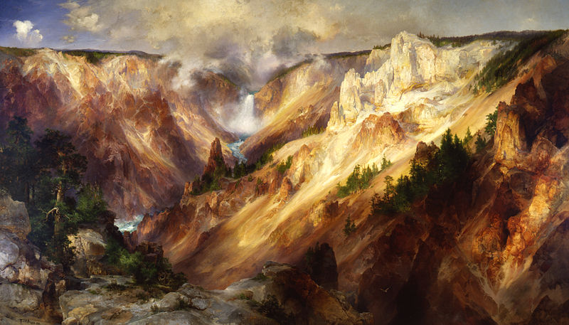
“This Nation is richer in natural scenery of the first order than any other nation; but it does not know it. It possesses an empire of grandeur and beauty which it scarcely has heard of. It owns the most inspiring playgrounds and the best-equipped nature schools in the world and is serenely ignorant of the fact. In its national parks it has neglected, because it has quite overlooked, an economic asset of incalculable value.” - Stephen P. Mather
By 1914 the National Park idea had grown far beyond Yosemite and Yellowstone. Parks could now be found surrounding snow-capped Mt. Rainier, at the ancient cliff dwellings of Mesa Verde, within the dark caverns of Wind Cave, in reflections of the deep blue waters of Crater Lake, and half a dozen other locations. The departments of Agriculture, Interior, and War, each claimed some responsibility for the parks, but in truth, no one was in charge. That changed in the summer of 1914 when on a visit to Sequoia and Yosemite a vacationing businessman, Stephen P. Mather, became disgusted with what he was seeing; hiking trails in the Sierra Nevadas were in poor condition, cattle could be found grazing where park rules prohibited it, and people were misusing provisions of the Federal Swamp Land Act to file private claims for choice parcels with plans to log the majestic trees. In anger, he dashed off a letter of complaint to the Secretary of the Interior, Franklin Lane, a fellow from his Alma Mater. Lane sent back a terse reply “if you do not like the way the National Parks are being run, why don't you come down to Washington and run them yourself”.
A little while later Mather did just that, showing up in Lane’s office to accept the offer. The founder of a multi-million dollar Borax company, at 47 he was restless for a new challenge. Years earlier, on a climb up Mt. Rainier, he had discovered that time in the great outdoors calmed his nerves and revived his prodigious energy. He subsequently joined the Sierra Club and considered meeting John Muir and listening to the old man for a few hours in Sequoia NP one of the highlights of his life. His first actions in charge were to double the pay of his assistant Horace Albreit and hire New York Publicist Robert Sterling Yard, compensating both out of his own pocket. Next, he set about increasing attendance at the parks. “Our quandary was if we can't get anybody in because of no roads, no development, no accommodations, how can we get any money from Congress, and visa versa. More tourists meant more appropriations could be squeezed from Congress for better roads and perhaps enlargement of the park boundaries. That meant more tourists, a perfect circle.”
Mather and Albreit would try almost anything to accomplish this goal, approving golf courses, zoos, and even proposing Yosemite as an ideal location for the Winter Olympics. Yet on a trip to Coney Island Mathew told a friend “this is exactly what we don't want in the National Parks. People might enjoy the carnival atmosphere, but our job in the park service is to keep the National Parks as close to what God made them as possible.” Thus, most of their efforts revolved around building new accommodations and new roads. In each park leases were given out to build at least one grand hotel, built and operated by a concessionaire, enabling guests to stay weeks or months exploring the park. The breakthrough in visitation, however, came from Mather’s embrace of the horseless carriage. On August 15th 1915 Mather opened up Yellowstone to a caravan of automobiles, and the National Parks never looked back. By 1917 horse-drawn carriages had been totally removed from Yellowstone as concessionaires shifted to open seated touring cars to take guests from one attraction to the next. A year later in Yosemite, tourists arriving by automobile outnumbered those arriving by train seven to one. Personally, Mather and Albreit liked nothing better than taking long trips into the backcountry, but they understood that most visitors had neither the time nor the inclination to do so. “American tourist travel is of a swift nature. People want to keep moving and are satisfied with brief stops here or there,” Horace Albreit said. As such the duo embarked on an ambitious plan in which each park was to have one major road that would open up that park’s scenic wonders to the motoring public. At Glacier, they built the Going-to-the-Sun Road, carved into the mountains up and over the continental divide. In Zion, a mile-long tunnel was blasted through the sandstone, providing a better connection to Bryce Canyon and new vistas of Zion from far above the valley floor. In Yosemite, the Wawona road replaced an old wagon trail as the park’s southern entrance. New roads, scenic turnouts, rest stops, and new maps were added, all with the motorist foremost in mind. The plan worked, as park visitation grew from 209 thousand in 1914 to 3 million in 1929. In response, Congress doubled and then redoubled the park’s annual appropriation.
While this had been happening a fight over control of the National Parks waged in Washington. Since 1900 park supporters had been arguing that the haphazard collection of National Parks needed to be brought together under a single federal agency. Yet bill after bill died in Congress due to commercial lobbying interests. Mather picked up the charge and devoted himself to the effort of creating a National Park Service. He started by cultivating publishers, editors, and writers, in an effort to get glowing features in newspapers and magazines. He followed that up with the National Parks Portfolio, a book filled with glossy photos of every National Park and every National Monument in the country. Mather boasted it was the first really representative presentation of America’s scenery of grandeur ever published. Publishing the portfolio cost $48,000, five thousand of which Mather put up himself, and the rest he convinced western railroads to put up. Initially, 275,000 copies were printed, with special leather-bound versions going to every member of Congress. The book became a sensation, and in the first year 2.7 million copies were sold around the country. Mather’s message was that only under a single government agency could the parks be properly promoted. Creatively packaged together they would be far more valuable to the nation than a loose collection of far-flung parks. His efforts paid off, and on August 25 1916, as Mather was high in the Sierra Nevadas, the bill creating the National Park Service was signed into law. Mather was appointed its first director, and Albreit his second in command.
Trouble was always lurking in these early years though, the largest of which occurred after the passage of The Federal Water Power Act of 1920. It allowed for the construction of dams within National Parks. Proposals for dams in Sequoia NP, Glacier NP, two in the Grand Canyon, and four inside Yellowstone, soon followed. “Once a small dam is authorized for irrigation purposes, other dams will follow. Once a small lake is raised and a small amount of timber is destroyed, once start the National Parks toward National Forest status, and it will be logically impossible to stop short,” Mather pleaded. The memos Mather and Albright wrote to Congress informing them of their objections never got there though, as the Secretary of the Interior tore them up. Thus, when officials from the Bureau of Reclamation arrived in the Beckler region of Yellowstone, Albright resorted to bureaucratic sabotage. The first year he ordered the wooden trail bridges be taken up so that surveyors found the rivers impassable. In the second year, the bridges were intact, but for some gosh darn reason the horses they planned to use were nowhere to be found.
The problems for Mather and Albright were largest, however, in the Grand Canyon. “For more than 16 years I have been exploring and working in the Grand Canyon of Arizona on power sites. I now have the financial backing to build two huge hydroelectric plants in the Grand Canyon, to electrify every railroad, mine, and hamlet in Arizona. As a Senator I can more readily and quickly secure the concessions, right of way, etc. so necessary for the perfect development of these great enterprises,” said Senator Ralph Henry Cameron. Since before the turn of the century Cameron had considered the Grand Canyon his own private fiefdom, running hotels, trails, and prospecting operations. In 1919 though, he lost a prolonged battle to keep the canyon from becoming a National Park, and subsequent court rulings ordered him to abandon many questionable mining claims he had used to gain effective control of particularly scenic spots. Then in 1920 he was elected to represent Arizona in the US Senate, and despite the rulings against him, Cameron refused to remove his buildings, using his newfound political power to ensure no action was taken to make him comply. Park rangers opposed to him resorted to sending their mail in code because they suspected that the canyon's postmaster, Cameron's brother-in-law, was opening their letters. When Cameron proposed two giant hydroelectric dams and a platinum mine within the park on behalf of some campaign contributors, Stephen Mather decided the senator had gone too far and set out to stop him. Behind the scenes he rallied newspapers, women's groups, and conservationists to the cause, successfully galvanizing public support, and all of Cameron's projects in the Grand Canyon were stopped. Angry and vengeful, Cameron succeeded in removing funding for the Grand Canyon from the federal budget, denounced Mather on the Senate floor, and started a federal investigation that went from park to park trying to embarrass Mather and Albright. It backfired when newspapers started their own investigation into Cameron and published how he’d used his Senate position to further his private interests. In 1926, the voters of Arizona refused to re-elect him.
“The visitor would not linger long after his first comprehensive gaze at awesome scenery if the vista did not include the intimate details of those living things, the plants, the animals that live on them, and the animals that live on those animals.” - George Melendez Wright
The next era of the parks began with George Melendez Wright, a young park ranger, who believed the NPS was preserving the scenery of the National Parks but was not keeping its promise to the wildlife. Only in his mid-20s and near the bottom of the NPS career ladder, he managed to convince then NPS Director Horace M. Albright to approve a scientific study of wildlife conditions in the National Parks, funding the whole thing with his inheritance. Wright, and two colleagues whose salaries he also paid, embarked on a four-year trip surveying the western parks. Everywhere he saw the equilibrium of nature out of kilter. Coyotes, wolves, mountain lions, and badgers, were routinely trapped or shot as unwanted predators, bison were sometimes rounded up and kept in corrals like cattle, and elk, deer, and Antelope were even fed hay in wintertime. “The unique charm of the animals in National Parks lies in their wildness, not their tameness. In their primitive struggle to survive, rather than their fat certainty of an easy living,” Wright said. As such, when he and his colleagues published their final reports he proposed a radical new policy: unless threatened with extinction within a park, each native species should be left to carry on its existence unaided.
In 1933, Wright became the first chief of the newly formed Wildlife Division of the Park Service. Under his leadership, each of the National Parks began to survey wildlife on an ongoing basis in order to identify urgent problems. Tragically, Wright’s career was cut short in an automobile accident, at the age of 31, while on assignment for the parks.
His banner was carried on by Adolph Murie, one of the young wildlife biologists Wright had hired. By the 1940s Murie had made a name for himself as a field biologist, and an iconoclast for his views of park policies that often got him in trouble with his superiors. At Olympic NP, where wolves had been hunted to extinction, he called for their re-introduction, he opposed fire suppression, preferring to let nature take its course, and he argued against the making of too many hiking trails in wilderness areas. Like Wright, he believed many assumptions about predators needed to be scientifically tested. For years Yellowstone’s rangers had been poisoning, trapping, and shooting coyotes in the belief that it helped the big herds so enjoyed by visitors. After spending two years studying them, Murie produced a report that completely contradicted that notion. “The problem of the big game species in Yellowstone is not one of predation, but of inadequate winter range.” Yellowstone’s superintendent was so upset by the report that he tried to get Murie fired.
Now, as one of only three biologists in the wildlife division, Murie was dispatched to Mt. Mckinley NP in Alaska, the most remote and least visited park in the nation. There he embarked on the first-ever in-depth study of wolves. Americans had been killing wolves for centuries. Despite a park policy against the extermination of any species, wolves had been systematically eliminated at Grand Canyon NP, Crater Lake NP, Death Valley NP, Grand Teton NP, Mt. Rainier NP, Olympic NP, Rocky Mountain NP, and in 1926 at Yellowstone NP. Alaska was virtually the only place in the US where wolves still existed, a fact most Alaskans viewed with both embarrassment and alarm. “The wolf is the master killer of all wildlife. The villain in Alaska’s pageant of wildlife,” the Alaskan Game Commission said. The territory’s legislature even paid bounties of $50 for every wolf that was killed.
Murie’s arrival at Mt. Mckinley NP, coincided with the decline in the number of the park’s distinctive doll sheep, a fact that was automatically blamed on the wolves. In that first season, Murie walked more than 1,700 miles, took photographs and home movies to augment his field notes, analyzed more than 1,000 wolf droppings to determine their eating habits, and collected 829 doll sheep skulls to study the age and health of the animals when they died. Murie would continue his study for a decade, relocating his family to a remote cabin within the park. In the end, Murie concluded that a series of hard winters was the principal cause in the decline of doll sheep and that wolves actually strengthened the sheep and caribou herds by culling out the sick and the weak. The report was denounced by hunting groups as pro-wolf propaganda, but when the sheep numbers rebounded and the furor subsided, the NPS instituted a permanent ban on wolf killing. It was the first time in history that the species had found any protection from any government agency.
In 1995, 14 grey wolves from Canada arrived in Yellowstone in cages, with a long-range plan to re-establish the predators in their former habitat. Within a few years, the wolves were thriving, and the Yellowstone ecosystem was nearer equilibrium than it had been in many years. Efforts like this throughout the park system have resulted in wilder parks now than existed a century ago.
“So rapid is the increase of travel to the parks that it is none too early to anticipate the time when their popularity shall threaten their primary purpose. While we are fighting for the protection of the National Park System from its enemies, we may also have to protect it from its friends.” - Robert Sterling Yard.
As predicted by Robert Sterling Yard in 1943, the day has arrived, when the future of the National Parks is endangered as much by us who love them as they are by deregulators and commercial interests. Visitation was 32 million in 1950, 168 million in 1970 , 255 million in 1990, and 327 million in 2019. “Backcountry trails are clogging up, mountain roads are thickening with traffic, picturesque vistas are morphing into selfie-taking scrums. And in the process what is most loved about them risks being lost,” writes the Guardian. In many ways, it is a good problem to have. America would sooner go to war than carve up Yosemite Valley into private landholdings. Yet the fact remains, in the nation where the National Park idea was born, our scenic wonders are engorged with visitors. The number of worthy parks does not scale with our increased population or enjoyment of them, they were fixed thousands of years ago by the forces of nature. Some parks are even reaching a point once thought sacrilege: limits on visitation.
San Francisco
I left Friday afternoon with 14.5 hours to San Francisco. It is a fairly straight shot from Wyoming; across to Idaho, down into Utah, and then directly southwest through Nevada and into California. It was a pretty standard drive, fast and beautiful. The golden grasslands of Wyoming and Idaho gave way to the scrubby desert of Nevada, mountains continuously rimming the horizon. I slept in Elko Nevada Friday night a small strip of a town along I-80, got pulled over for speeding within a half-mile of getting back on the highway Saturday morning, filled up at a gas station near Reno which doubled as a shockingly popular strip-mall casino, and had my breath taken away by the beauty of Tahoe.
I got distracted flipping off some teenagers in a Jeep who were zigzagging through traffic. When I looked up, Tahoe Lake was visible through a V formed by two pine-covered slopes, the sun glinting off its deep blue water. It was just a peak, but it was absolutely stunning. I remember so vividly that drive down, bombing recklessly around the curves, the beauty of each sneak peek egging me to go faster.
I pulled over at Logan Shoals Vista Point, about 300ft above the lake. Cinnamon trunked pine trees 150ft tall, massive granite boulders, pine cones the size of footballs, and that water!! So crystal clear it was possible to see 24ft deep. I climbed all the way down to the water's edge and out onto the last protruding rock. 65 degrees, not a cloud in the sky, the sun warming me and the rock, it was as peaceful as I have ever felt. Looking down into the water it was possible to see each and every boulder 50ft out from shore. It was a totally different experience than any body of water I’d ever seen, so clear and almost completely still. No longer did I have to guess where the fish were, I could see every minnow, trout, and salmon, swimming in my vicinity.
I sat there and I sat there, the lake nearly still. It calmed my breath and my mind. I contemplated life, how it was possible Tahoe Lake contained enough water to cover California fourteen inches deep, but mostly I just stared out in a bit of a trance. I understood why this was the coveted retreat of the rich. The dense green of shore was the only break between the deep blue of the water and the light blue of the sky. I never wanted to leave.
Turning back towards land I saw boulder after boulder all the way back up to the car. The ground is LAVA!!! Only the boulders were safe. Scrambling up some, plotting my way around the sides of others, and climbing straight up and over most, I had an absolute blast. Up the 300ft climb and atop the tallest boulder staring out at the Lake, I almost walked down and did it again, it had been such a good time. I was now absolutely stoked to go outdoor climbing with Isabel’s friend Sabina the upcoming weekend.
The rest of the way to the Bay was uneventful. I left Tahoe around 4:30 pm and arrived at Acorn’s in El Cerrito, a suburb in East Bay around 7:30 pm on Saturday evening. Aaron Corn, thus the obvious nickname Acorn, was on the golf team with me at Tufts and was now doing Teach For America in Oakland’s Deep East. The original plan had been to leave Boston earlier and spend a month or two at Acorn’s. Now it had been cut down to a little more than two weeks.
I was stoked to see Acorn, and him me. I dropped off my stuff, said whaddup to his roommates, and we took a little drive to get dinner. Acorn took me to his local favorite, El Mano, a Peruvian restaurant, and ordered us two Lomo Saltado’s with chicken. Apparently a beloved Peruvian dish, it was chicken stir-fried with onions, tomatoes, cilantro, and soy sauce, served on a bed of jasmine rice and french fries. The french fries were an odd touch, but very tasty. Unfortunately, due to extenuating circumstances it turned out to be our last true activity for my entire visit.
I was annoyed for the first couple of days, wanting to spend time with my pal, but after I came to terms with the situation, there was no animus between us, we just did our separate things. Up at 7 for work, I would finish work by 3 and have tons of time for activities. A few days I played 9 holes at Tilden Park Golf Course, others I met up for dinner with other friends in the Bay Area, but mostly I toured the sights solo. I did a night tour of Alcatraz, saw The Irishman at The Castro, walked the Mission, Chinatown, Oakland, and Berkeley neighborhoods, and did much thrift shopping along the way.
These are a few snapshots from those meanderings.
At first, it looked like an abandoned storefront. The single-story building had peeling paint, markedly unclear windows, and an unbelievable clutter inside. On second inspection my eyes picked up that the bikes and bike parts. It looked like the bikes had been thrown in there until they were stacked six feet high. It reminded me of a NYC apartment closet where you open the door, stuff the latest thing in the first available spot, and shut the door in a flash so as to avoid an avalanche of stuff pouring out. It was a big storefront too, maybe 40ft by 40ft, thousands of bikes stuffed in to make an ocean of metal and rubber.
As I got to the corner of the block I looked into the front door, cut on a 45-degree angle, and saw an old disheveled-looking guy in his 60s sitting on a 1970s rolling office chair acting as a gatekeeper of the clutter.
“Got any bikes for sale?” “I got a bunch of bikes, what are you looking for?” “A $100 cruising bike, for riding around town.” “I got this one out here for $139, but we could work out a deal.”
Standing laboriously, he pointed out a black mountain bike at the top of the nearest pile. Besides from an unbelievably rusty chain, the bike felt pretty solid riding around. I was thinking about buying one as a gift for Acorn, who didn’t have one.
“Unfortunately, I have my car here and don't have cash, but I’ll come back because I like the bike.” “Are you sure we can’t make a deal right now? I could throw in a lock.” Gesturing that there were plenty of locks available in the clutter. “Yeah, I wouldn’t be able to fit it in my car, unfortunately. It’s a small two-door. Thank you though.”
Most unfortunately Acorn said he probably wouldn't ride it if I got it, so I never got to go back and haggle with the old man on the price.
Berkeley Bowl, a supermarket, is a worthy tourist attraction. The theory that our sense of beauty is tied to settings and people who hold the promise of health and fertility proved true at Berkeley Bowl. Row after row of produce of every variety greets one's eyes upon arrival. A good local supermarket has pineapple, persimmon, and turnips, the fringe produce items. Berkeley Bowl has all of those items in four or five varieties. Large “Chestnut Hill” Pineapples from Costa Rica, Medium “Dole” Pineapples from Hawaii, X-Large “Del Monte” Pineapples from Costa Rica, Medium “Del Monte” Honeyglow Pineapples from Costa Rica. A whole bank of root vegetables: celery root, purple kohlrabi, rutabagas, white lobok daikon, and every color of carrots and turnips. Dried pears, persimmons, and white peaches were some of the unusual dried goods. It was like an agricultural museum, where you can see the variety of bounty produced on this planet.
The most remarkable thing about Berkeley Bowl was the feel of the place; totally homey, like your own mother had done the design and branding. With only two locations, none of the efficient management and mass appeal branding of a Whole Foods or Central Market permeates the space. I walked in a bit bemused that lists had thought a supermarket was a top sight, but I walked out a convert, educated in the possible beauty of a supermarket.

I have a rule that I can buy basically whatever I want at the supermarket, honeycrisp apples, steak, ben and jerrys, because expensive supermarket food is way cheaper than eating out. I thought that rule should apply to thrift shops as well, but the thrift shops of California pushed that rule to its limit. Maybe because there is so much wealth in the bay area, or maybe SF’s rule banning chain stores allows for more local thrift shops to survive, I am not sure. All I know is that they are out of control good. At one thrift shop, I found basically new All Birds for $28! On my walking tours, I poked my head into each and every one just to make sure I wasn’t missing any gems.
The idea is that you will spend less in the long term by avoiding eating out or buying big-ticket clothing items, but the quality of these thrift shops was making me into a fashionista. Satiated hunger provides an upper limit on how much food I want, but at these prices and this quality my demand for clothes felt infinite. A green canvas coat with tons of pockets, a few short sleeve button-downs, those All Birds which just happened to be in my size, and a Patagonia sweatshirt all found their way into my luggage.
The experiencing self and remembering self are often different people, but never have they been as bi-polar as the weekend Isabel visited me in SF. The experiencing self was a crab apple. Happy to see Isabel but very cranky with how the weekend was playing out. I was hoping for a jam-packed itinerary. However, at the behest of Isabel’s very nice friend Sabina we were to stay at Sabina’s and she would be our tour guide. An SF unicorn, a term meaning a kid who had actually been born and raised in SF proper, we thought Sabina would be a fantastic tour guide. And she was, but her pacing drove me crazy. The day before we would discuss big plans that required an early start, only to wake up early and laze around the house all morning. In a vacuum, they were very nice mornings. On the top floor of a three-floor townhouse in Nob Hill, we would make breakfast, chat with her housemates, and look out the window at the fog rolling by. For me, sitting by the window, looking out, it felt like detention, eyeing a world of forbidden possibilities. Isabel wasn’t about to be rude and up and leave before Sabina was ready, thus if I wanted to get an early start on the day I would have to leave Isabel; not a nice thing to do to a person who had just flown across the country to see me. Thus I was grounded, jittery and irritable by the window as life passed on by. My blood felt like it was simmering, getting close to losing all orderly form. There I sat, imagining all the SF things I had literally driven cross country to see and was now going to miss.
On top of that stew was the fact that Sabina loved Isabel so much that it often felt like I was the third wheel. Sabina would always face Isabel when she was talking and would focus the conversation towards her. At stores she made Isabel try this on or check out that, and I would be left to wander around by myself. It felt as if Sabina was nice to me, but only because Isabel cared about me. If instead, I wasn’t around, then all the merrier because she would have more ‘Bell’ time.
I remember those were the active feelings during the weekend, but now I think back on some of the best experiences of the trip and how generous a host Sabina was.
On Friday, Sabina and her housemates threw a party they’d been wanting to have for a while, in honor of our visit. There we hobnobbed with civil engineers, structural engineers, and the techies which are said to be overrunning the city. It was fascinating to talk with the engineers about how the sandy soil of SF creates headaches for them as they try to build vertically, and about the new technologies going into making buildings earthquake resistant. There were also plenty of Peppermint Patty Shots to go around, and a beautiful rooftop from which you could see the Golden Gate Bridge, Alcatraz, and the TransAmerica building.
Saturday afternoon, we strolled down to the Ferry Building at the bottom of Market Street. It felt like the old capitol building, with much of the city laid out to drive focus to it. Completed in 1898, it used to be the second-largest transportation hub in the world behind London's Charing Cross Station. Peaking at 50,000 commuters per day, it was SF’s connection to the world until the Golden Gate and Bay Bridge were completed in the 1930s. Then the automobile, the Embarcadero Freeway, and a newly built train station called the Transbay Terminal, cast the Ferry Building into disrepair. From the 1950s until its demolition in 1991, the Embarcadero Freeway, another name for Interstate-480, a double-decker highway, crossed right across the face of the Ferry Building casting it in constant shadow. It was a testament to the era of highwaymen carving up American cities, holding the automobile over everything else. Today it is a cultural hub again, that freeway replaced with a plaza where locals try to convince the tourists to buy this or that trinket, the homeless laze out in the open, and skateboarders attempt impressive jumps. The building itself was restored in 2003 with a teeming marketplace on the first floor, office space on the upper floors, and an active ferry service. The Saturday farmers market was still going on when we arrived, so we started on the right and grazed our way left; latkes with hummus, bread dipped in olive oil samples, blackberry pie, a plumeto, and a half a roasted chicken we picked apart with our hands, served as lunch. The variety of stuff from fresh produce, to ready-to-eat bites, to artisan cart iron pans, pottery, and blown glass, made walking about good fun.
On Sunday we tried surfing in the Pacific. The size of the surf was below average everywhere so we headed to Ocean Beach, a spot where they sometimes host professional events, but today it had good 3ft starter waves. Parking our car in outer Sunset, a neighborhood perpetually cloaked in fog, we rented boards and wetsuits from a local surf shop. I stretched and contorted my body trying to get my rented already wet wetsuit on in the store's one changing room. I succeeded, walked out, and was told that I had put it on inside out. Back to the back of the line I went. The experience taught me that the only thing harder than getting in an already wet wetsuit, is getting back out.
Properly clothed and struggling to carry our massive boards, we stepped into the frigid Pacific. It was so cold that when a wave hit all air would immediately gust out of you. Sabina, a beginner surfer but not a novice like Isabel or I, took the lead and tried to show us how to paddle out, how to crest oncoming waves, and in theory how to catch a wave. I’m not sure how they measure waves, but these three-footers looked at least eight feet tall. Sitting atop our boards they would rise up well above our heads, crash atop us, and pummel us back to shore. At first, it was exhilarating just catching waves while lying down on our boards. Crashing just behind us, the power of the wave would shoot us on a 100ft long slide. After a few runs of that we became more ambitious, trying to get further out so we could potentially ride some of the bigger ones. After battling out a couple of hundred feet, I couldn’t quite hear Sabina’s explanation but she seemed to be saying to wait for the second wave of a pair because it was bigger. Freezing, battered, and drunk on seawater, none of us could quite get up on a big one. We’d get battered trying to get out there, finally get ourselves in position, miss the angle slightly, and get flipped all around in the eventual crash. It was exhausting but also exhilarating. The cold made us feel every inch of our aliveness, and the constancy of the waves demanded our attention and determination. We kept with it for what felt like a while, but slowly our ranks began falling. Isabel hyperextended her hand while blocking the board from slamming into her head and was done. Sabina fell back shortly thereafter realizing success for us was not in the cards. Stubbornly I kept at it for one last full push all the way out there. The waves were now looking much larger than when we had started. Punished again by the second wave of a large pair, no final glory was achieved. I turned around and rode back to shore on one of those smaller waves we had once been so exhilarated by.
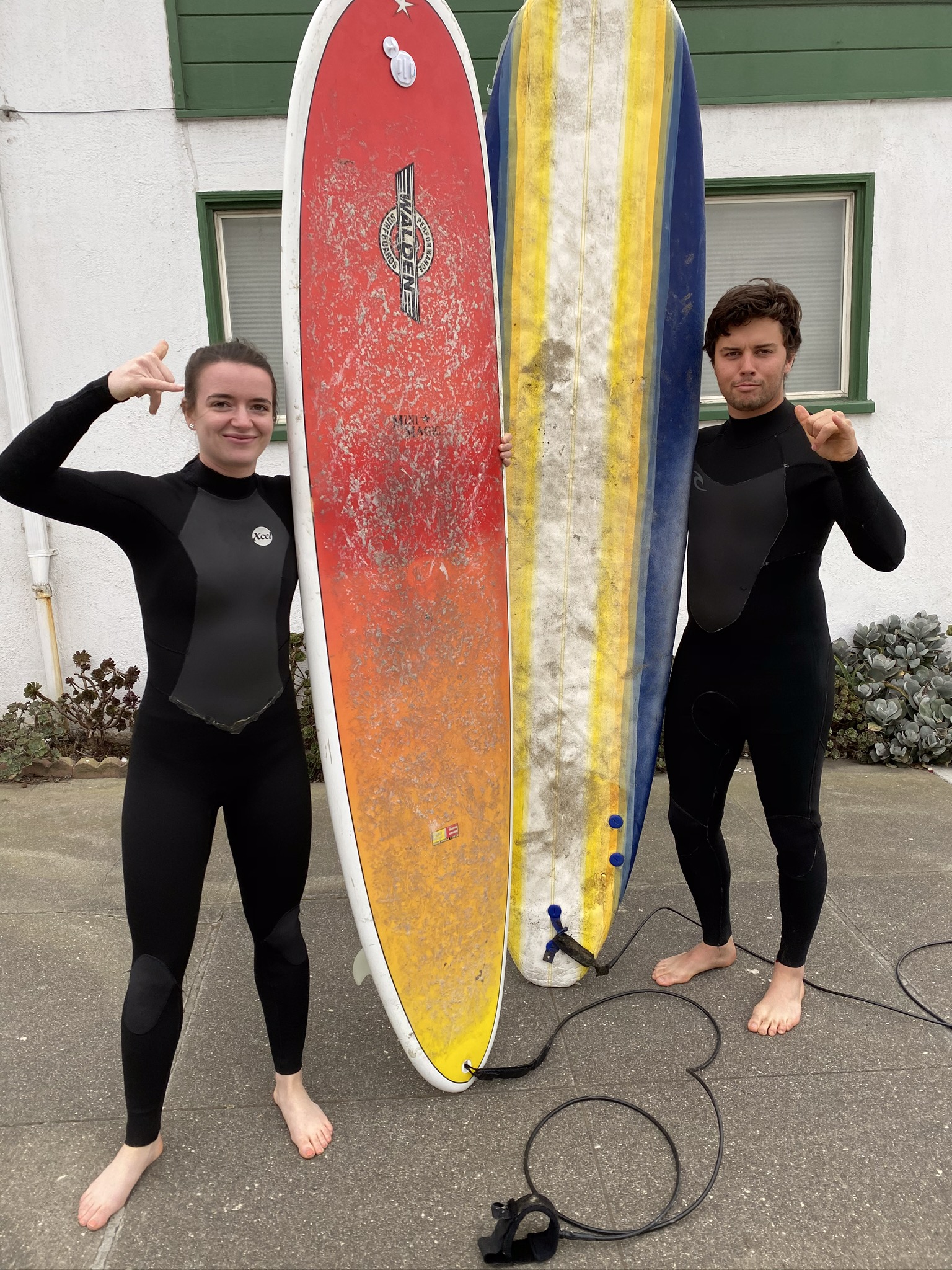
Monday could have made the whole trip worth it by itself. Off we went into Napa County for a day of rock climbing and wine. On our way, we picked up Sabina’s climbing buddy Cooper, a slightly disheveled rustically handsome man who lived on a boat in Alameda Harbor. Up north we headed, passing vineyard after vineyard, through the small towns of Napa Valley to Robert Louis Stevenson State Park. From the trailhead, we headed .5 miles to The Bear. Poking out from a distant ridge, the rock we were to climb looked like an upside-down cup, so itsy small. I was imagining a large sheer face. If that little thing could be used for serious rock climbing, potential spots are everywhere! But then as we approached the cloak of perspective was removed, leaving a 60ft boulder of volcanic rock. We climbed down off-trail to the far side of the boulder where the climbing routes were and set up shop.
Isabel had basically never climbed, I had only climbed a half dozen or so times inside, Sabina was an avid intermediate, and Cooper our grizzled veteran. Cooper would go up first and lead climb, stringing the rope through carabiners he brought up with him and attached to bolts fastened to the rock by our forefathers. Cooper was tasked with this job because it involves climbing the route, stopping along the way, one hand on the wall one hand fiddling with the gear, and then properly looping the rope through. Once at the top Coop would tie off and repel down, the route set up for the rest of us to attempt.
Up through the bottom loop and out through the top loop of the harness, make a figure-eight knot, count the two’s, make sure there are five of them, “belay?”, “belay ready”, “climbing”, “climb on”, up we went. The dark grey rock had the texture of molten tortilla chips, very sharp and jagged. Not pointy enough to cut our hands, it made for fantastic holds, and Isabel and I were able to make it up the first couple of routes cleanly. It was incredible climbing outside. Compared to climbing indoors this was the difference between a hot and a cold shower. It almost felt like a wholly different experience. Climbing actual rock made it feel like a basic human skill, no longer a fabricated sport, humans invented to distract themselves. Add in the sun, wind, beautiful views, music, friends, and red wine to sip on between climbs, what could be better.
Having warmed up now we moved left to try and tackle a more difficult route. The rock bulged out over here making the first part of the route overhung and thus far more challenging. Isabel and I drank wine and watched as Coop and Sabina slipped off the rock a few times 15 feet up. It looked extremely challenging trying to get over the hinge of the bulge. When they had completed the route and told us we were up, we had little faith it was going to happen for us. The route started with a series of small overhung holds before we had to swing left for a water bottle shaped rock with our left hand and then somehow navigate our way around a small shipping box sized rock sticking out at the edge of the bulge. After that, the route flattened out and it would be pretty easy to scurry up the last 25 feet. Try one, and I didn’t even get to the third hold. Try two, I slipped off the water bottle-sized jug. Try three, I slipped off the water bottle-sized jug. Try four, I slipped off the water bottle-sized jug. Try ten, I went a slightly different route and made it up to the shipping box and slipped off. I just hung there 12 feet off the ground, exhausted, my hands aching, and my harness giving me quite the wedgie. A couple of feeble attempts later I asked to be brought down so I could take a rest. I knew the route now, I could fly through the holds out right, and understood that I needed to quickly move off the water bottle shaped hold to have the momentum to get a good hold at the top of the shipping box. Sheer persistence won the day. I was able to execute the plan perfectly, right hand getting a nice hold on the edge of the shipping box, enough to pull myself up and wrap my left hand on the other side, and skin myself up over the ledge of the box. Isabel, the legend she is, also accomplished the route. 5’ 3” and a ball of energy she may have found her calling on the wall. She loved the experience and looked to be an absolute natural.
At 4 pm, the sun starting to color our surroundings yellow, we packed up our gear, sipped the last of our wine, and merrily made our way into the valley for a late wine tasting.
“Y’all wanna go through the prescribed wine tasting or just pour you guys some good shit?”
Clearly, Alli could tell by our appearance and merriness that we weren't her average Napa Valley customers. Four ragtag-looking kids, arriving 45 minutes before closing, she knew she could shoot the shit with us.
“It’s been a baaad day. I real bad day. Get this, this literally happened today. My whole life I’ve been told my great grandfather was a pitcher for the Yankees.” Pointing to the well-worn Yankees cap on her head. “This morning I called up my grandma and asked her for details; when he played, how good, how long. You know what she said?! ‘Oh no Frank was a pitcher on the Red Sox’ My whole life I’ve been a Yankees fan and now the fucking Red Sox! Why not the Indians or some shit? So it’s been a bad day. Now I gotta go and buy a new hat.”
She had us in stitches with basically anything she said. She had a large, voluminous, woman from Brooklyn vibe, an “I’m walking here!” voice, and the ability to banter with anyone.
“You look like the mother of the group.” She said to Iz after a few pours. “Like all uptight and professional.” Not at all true, but had the three of us almost falling off our chairs in laughter.
We shut the place down, sadly parted with our newfound friend, and headed to get burgers and shakes at the iconic Gott’s Roadside. A burger joint on the main road through Napa, it has a pristine 1960’s look; outdoor seating, neon lights, a red and white paint job, and those funky angled overhangs which just scream drive-through. We went all in, ravenous, each of us having only eaten a breakfast sandwich that morning. Shakes, fries, funky burgers, and a bottle of Zinfandel, our new favorite wine. The four of us just worked as a group, the dynamic just so fun. We just kept ordering, seconds, thirds, trying to extend this great day as long as we could.
“Ohhh shit. I thought my flight was at 10 pm, it's actually at 7:15,” Isabel blurted out. Our great day was suddenly over. We scrambled to get our stuff into the trash and our bodies in the car. We had a good laugh about her being the adult in the room. But we had to roll! 5:30 now, we had a 1:12 drive to SFO. No time to stop and pick up Iz’s suitcase at Sabina’s. No time to drop Cooper and me off in East Bay which we would be driving through. All Isabel had were the clothes on her back, her phone, keys, wallet, and dirty clothes from climbing. Fortunately, Sabina and Iz would see each other the following weekend for a Haverford reunion. But it meant Iz would be flying back in only her flowy sundress. Sweaty from climbing she’d decided to go commando for wine and burgers. There was no changing now. The next day she wired us to say she’d arrived but had woken up a couple of times during the flight to see one of her boobs hanging out.
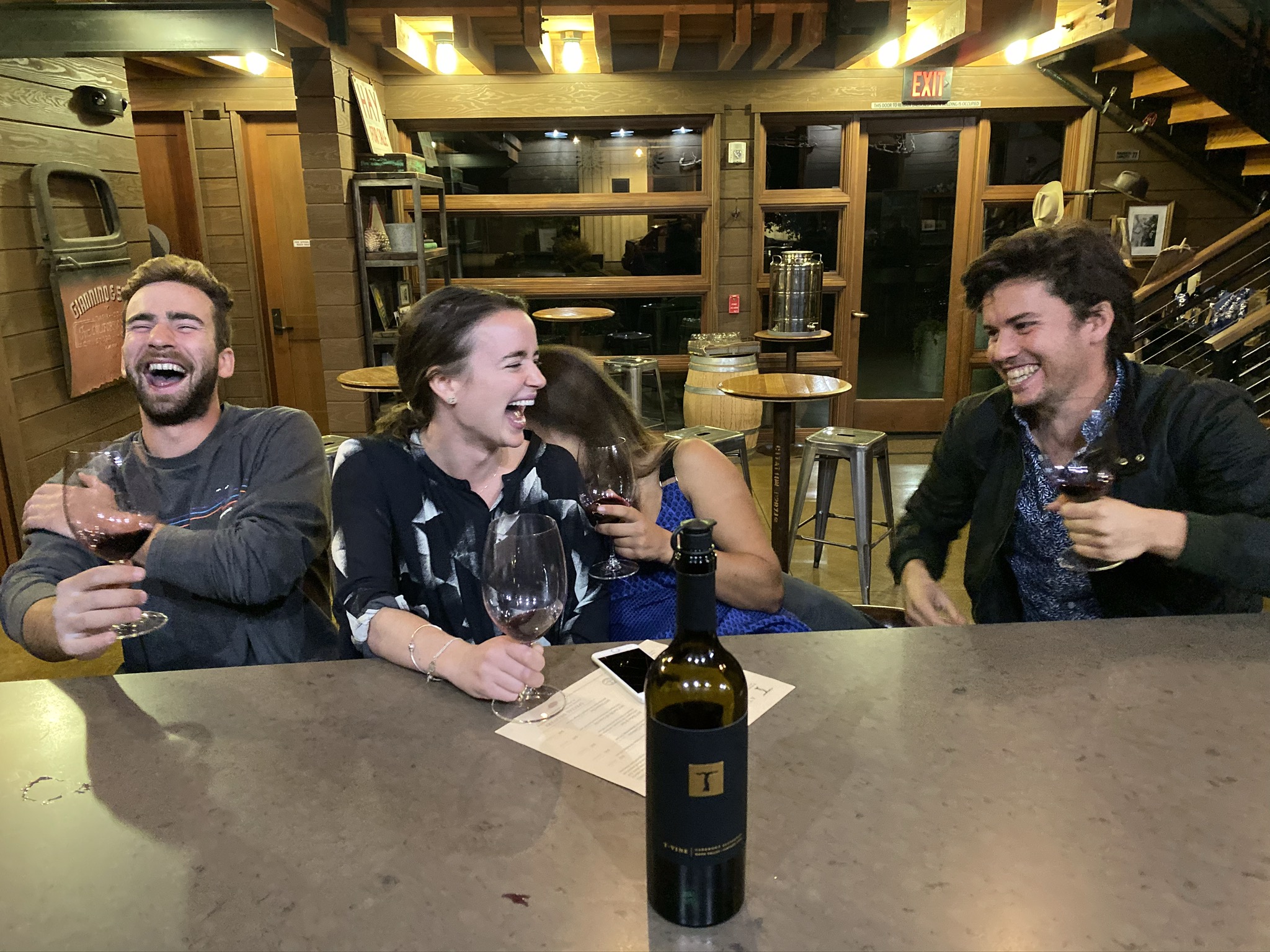
Try driving a long nail into rock. It's impossible. The nail will bend in half between the force of the hammer and the unmoving rock. That is exactly what it felt like trying to get these tent spikes into Acorn’s backyard. It had not rained in months and the ground was impenetrable.
After a couple of meals with Bay Area friends, some more neighborhood exploring, and a week of work, here I was on Friday night trying to set up my mother’s 1980’s tent. The design was classic, an extruded triangle, it looked like the tent emoji. Three metal bars created the staple-shaped backbone of the tent. This was held in place, and thus the tent livable, by six stakes pulling the floor of the tent out as far as it could stretch. The problem was that the stakes were close to impossible to get in, and once they were in the ground had the consistency of marbles with large crumbly bits, so the tent would sway slightly in the cool bay area evening, the stakes would pull out, and the tent would collapse.
I was doing this as a trial run for my weekend in Yosemite. I’d camped in Denver but we’d used Madison’s tent, and with Noah we’d been doing so much driving at night that we opted for a $42 Ramada or a $46 Motel 8 over trying to set up a tent in the windiest part of the country on a thirty-five degree night. Thus, this was my maiden voyage with the tent. My mom had used it 40 years ago when she lived in San Francisco and went camping in Yosemite. Since then it had been sitting in the closet of our NYC apartment. We had pretended to set it up before I’d left just to make sure all the pieces were still present, but it's not like we drove stakes into the apartment’s hardwood floors. Here I was just trying to make sure it would stand the night before having to rely on it out in the woods. Accomplishing that turned into a Sisyphean task.
I moved to a couple of different places in the grass before my finagling, praying, and scolding, paid off. Two hours and 7 bent or broken stakes later I had a standing tent. With Tara, Acorn’s girlfriend spending the night, I decided to sleep in my newly constructed masterpiece over sleeping on the couch. Cozy with my sleeping bag and sleeping pad I was amazed to wake up at 7 am the following morning with the tent canvas still above me. Test passed.
Sprawled flat on my stomach I inched myself towards the ledge. I was absolutely petrified, not trusting my body to stand. Finally, I made it, to peer over and look 1,000 feet straight down to the valley floor. Absolutely breathtaking. Across from me the great wall of El Capitan rose, the morning sun illuminating all of its subtle colors. A waterfall on my left, one of the few still flowing this time of year, was arching over the edge of the valley wall. I was looking at what John Muir called “by far the grandest of all the special temples of Nature I was ever permitted to enter.”
Saturday morning I had risen early, packed up the tent from Acorn’s backyard, and headed three hours west. En route I passed through very hilly wheat-colored grassland, groves of peach trees their leaves orange and red, and finally to wooded mountain slopes. I arrived at the first-come campsite around noon, filled out an orange slip with my $18, and headed to campsite 31. It came equipped with a bear box for all food, a wooden table, a fire pit, and a patch of dirt on which to set up one’s tent. The stakes went into the packed dirt like going into buttah! And held tight! The tent was up in ten minutes, food was stowed in the bear box, and I was off for a small afternoon hike at Hetch Hetchy Valley.
Asleep just after sunset at 5:45 pm Saturday evening, I was up and at ‘em Sunday morning at daybreak. And yet still by the time I got to Yosemite Valley the place was a zoo. A visitor center, an art gallery, multiple campgrounds, a medical clinic, a grocery store, a chapel, and many other buildings littered the valley, looking quite unnatural in perhaps the most beautiful place in America. Then there were the cars, so many cars, and the buses which you needed to take from central parking to any of the trailheads in the valley. The valley still had moments of awe, like seeing the small cocoon tents dangling halfway up El Capitan indicating a climber had spent the night 500ft up in the air, or when Half Dome came peering over the conifers with Yosemite river trickling in the bottom third of the frame. Yet there was something off about the place. As if the amusement park atmosphere of its pre National Park days still had vestiges, with the buildings staying the same, just under the new management of the NPS rather than private purveyors.
For that reason, I headed up to a trail atop the valley’s walls to peer at its magnificence away from the hullabaloo. At least that's what I was thought. Unfortunately, Yosemite is so popular that everywhere had people. Trailhead parking was full so I had to park in the ditch a quarter mile up the road. 7.4 miles, the trail cut down to Taft Point from which I peered down to the incredible view of the valley floor, across to Glacier Point for a panoramic vista of Half Dome and the grey slopes of Clouds Rest beyond, before doubling back and finishing at Sentinel Dome for sunset on the highest point in the valley. It was a tour de force of the iconic views the park is famous for.
I have been team Yellowstone since reading American Wolf, rooting for it to be the crown jewel of the National Park System, but after seeing Half Dome with Clouds Rest behind and Nevada Falls off to its right, I could understand why Yosemite held the top spot in many people's hearts. It is the greatest natural amusement park in the world. It may not have the wildlife of the Everglades or Yellowstone, the scientific importance of Carlsbad or Haleakalā, or the remote wilderness of Glacier, but it had some of the best hiking and climbing in the world, waterfalls that looked as if they were computer-generated, and cliff faces made for iconic photographs. It is nature designed for human consumption, and what an enjoyable feast it is.
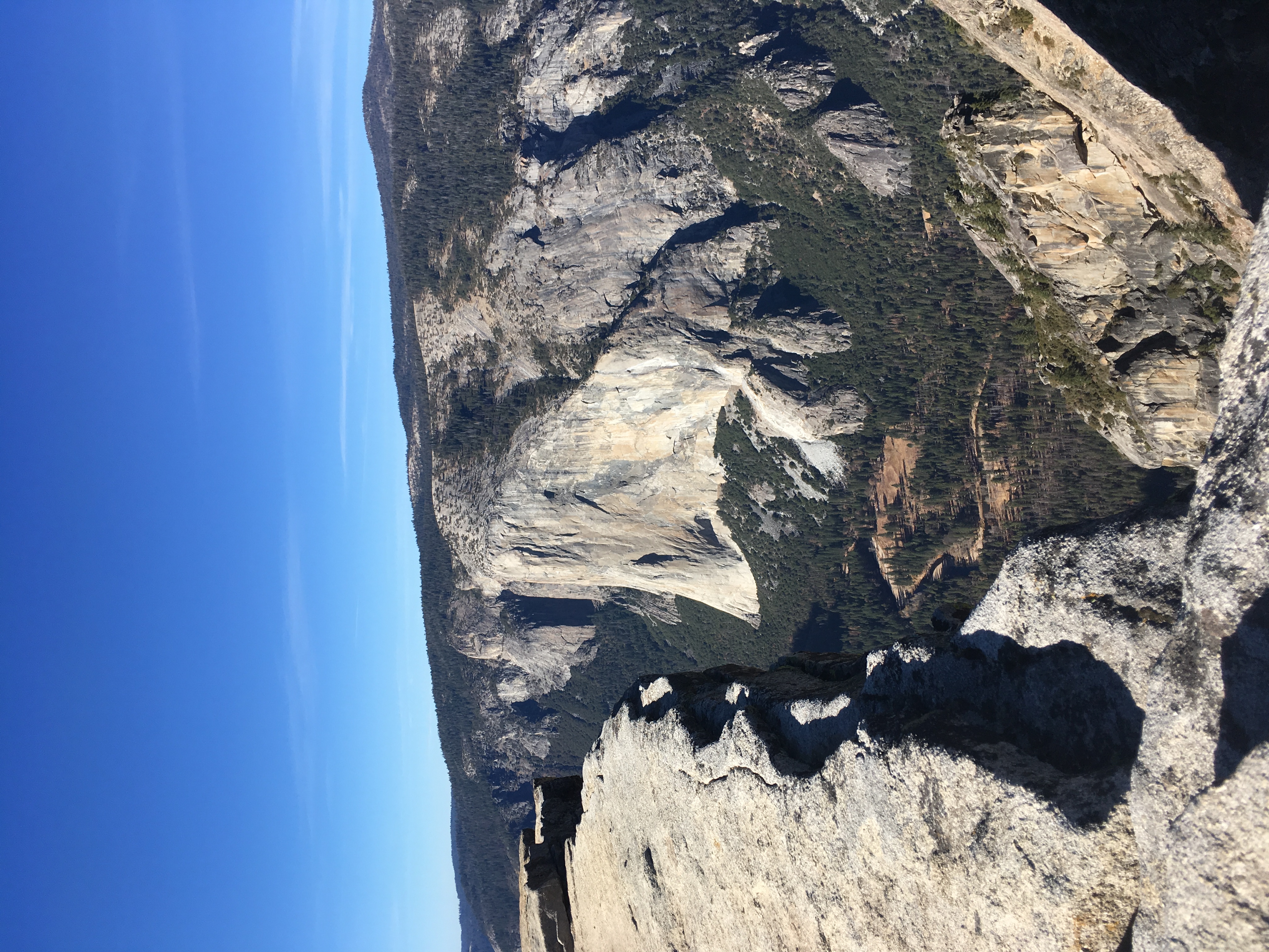
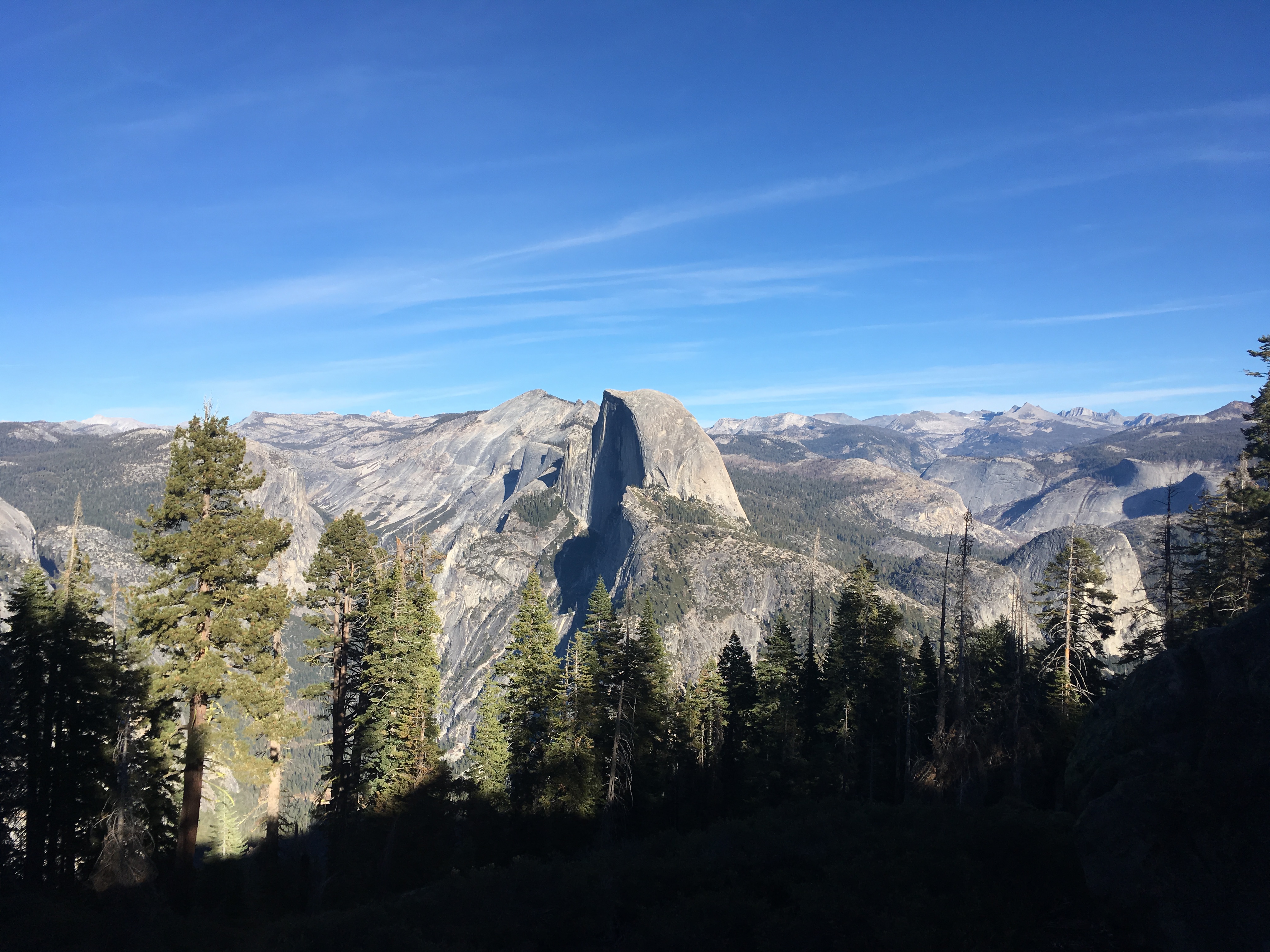
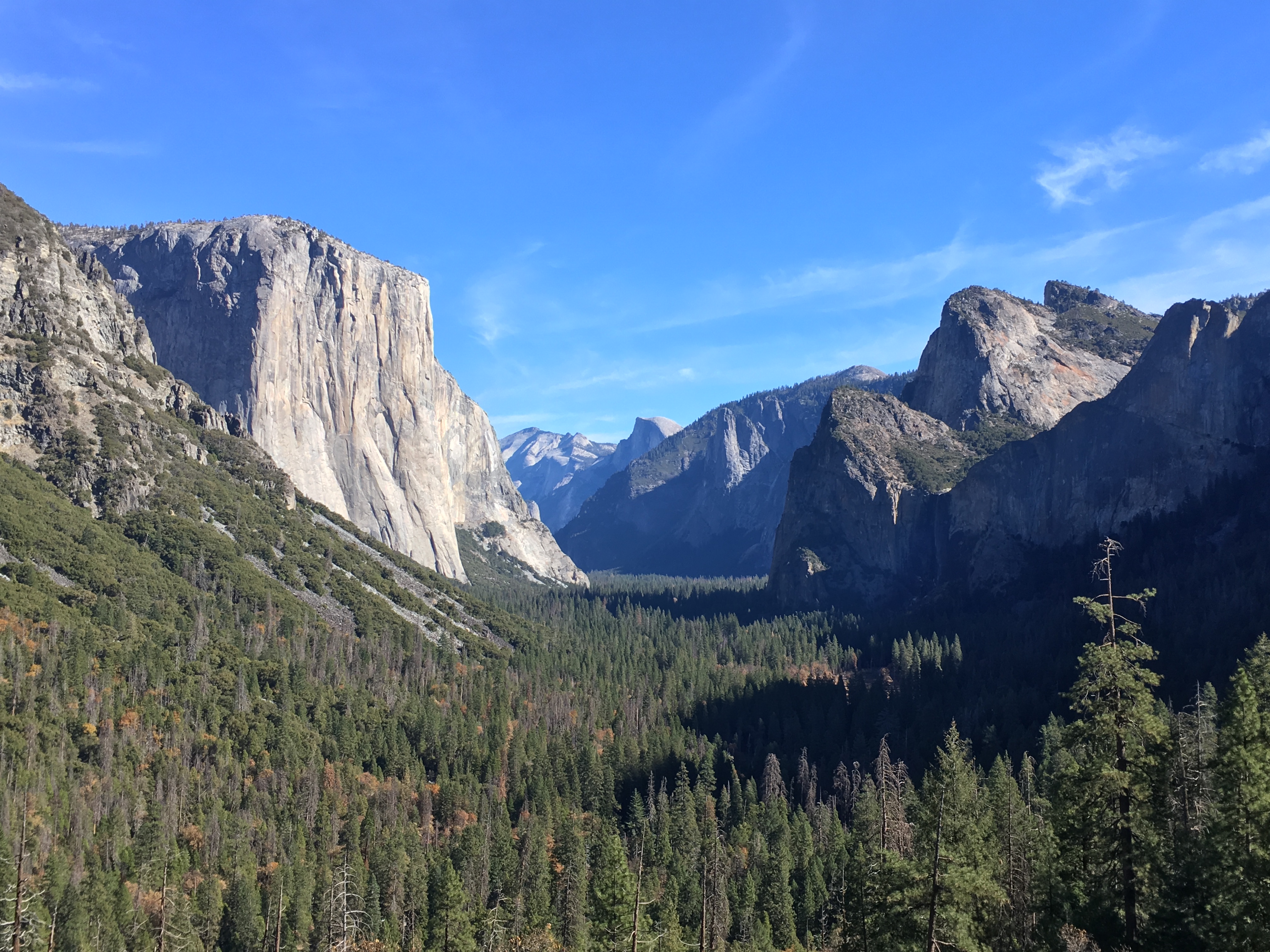
Los Angeles
The Thanksgiving break was long and felt too long. My father wanted to have a joint birthday party Saturday night after Thanksgiving, and with the prices of flights back it meant flying back the Wednesday afterward. Spending my birthday with my friends, Thanksgiving with the family, the joint birthday, and all the days in-between were very enjoyable. But the days afterward were just slooow. I yearned for the pace of the trip, my mind still churning at that pace, the break felt like sitting down after a hard run. Wheezing, your muscles aching, what feels best is a walk or even a slow jog. An immediate stop and you feel too small for your body, your heart pounding, all the gases and fluids pushing up against their boundaries.
Sitting middle seat next to the bathroom with a seat that could not recline on the flight back across, I was excited for all the driving coming up in the next ten days. I would arrive Wednesday night, work from Acorn’s Thursday, drive to LA Thursday night, stay with my friend Benny Ruskin for the weekend, and spend the following week driving across the southwest to Austin. I was going to be a road warrior. The first steps of this plan went as expected. I arrived around 9 pm at SFO, spent 2.5 hours on the BART to get to Acorn’s ( The Bay Area’s public transit is a joke ), worked from Acorn's Thursday, and sped through the night, down I-5, to Los Angeles.
Benny Ruskin, a friend from college had just moved out to attend UCLA Law and was gearing up for his first semester’s finals. He’d told me he’d be studying months before so I knew what to expect. The first night I was there though we went out to The Groundlings, a local breeding ground for SNL talent. Sketch comedy done to the highest level, Benny, his girlfriend Melinda, and I had full belly laughs on very empty bellies. The pizza we’d ordered had shown up 1:15 hours late, 15 minutes after we had left, so we were left with a granola bar and plantain chips we purchased from the corner store for dinner. The best two sketches were a gay cruise ship choreographer trying to teach his staff how to perform Frozen and a young girl who was disappointed with the nice presents she had received for Christmas, because MONEY was all she wanted, just like Cardi B had told her. Between sets, the three of us were scheming, planning, dreaming, fantasizing about what we were going to eat afterward. We decided on The Apple Pan, the “Best Burger Joint in LA”. A shack from the 1940s with a large U-shaped counter with seating for 26. We devoured the burgers too fast for our taste buds to pick up any flavor, but Oh My the banana cream pie!!! Heavenly. I have been dreaming about it nightly since. Dense whipped cream, a thick layer of banana creme, three inches of sliced bananas at their perfect ripeness, and a chewy crust below. I was doubting the order at first, but it may have been the best dessert I’ve ever had. The banana flavor was strong but not too sweet. It meant I could down a whole slice and it almost felt healthy.
Our tour guide, Randi, was pointing at an acre-sized parking lot that was painted light blue and sunken a few feet down. “They shot the parting of the Red Sea here for the movie 10 Commandments here. How do you think they did it?”
“They filmed it in reverse!” A blond woman in the back piped up.
“Exactly. They had barriers, which they pulled back to let the water rush in, and then they played it in reverse.”
I was on the Paramount Studios tour, the oldest production house in LA, and movie magic was everywhere. On a property a few city blocks square, movies such as Rear Window, Airplane!, Forrest Gump, and many more were written, cast, shot, edited, and produced. Everywhere you looked had been used for a shot at one time or another. There was a back alley where many of the getaway scenes for NCIS were filmed. The writer's building doubled as an embassy for Mission Impossible. The entrance of the Paramount movie theatre was once transformed into a swanky hotel lobby. It was amazing looking at this banal scenery and seeing how by adding a couple of details and shooting from a specific angle it believably showed up on the big screen as something else.
“Hitchcock was one of the big-time directors we had here at Paramount, but he was chronically going over budget and breaking rules so they moved his office there, right next to the executive offices. It did not work, he put a bookcase up against the windows so nobody could see in. One time he wanted four-story buildings inside studio 16, which would have meant building a taller building. The request was declined, so in the middle of the night he locked the doors and dug down 15 feet to get the desired angle for the shot.”
“We are now passing the Foley Department. They are responsible for creating the sounds you hear during movies. Coconut shells for horse hooves, snapping celery for breaking bones, lasering grapes for dying aliens.” WHATTTT lasering grapes for aliens?! Such a cool department. Those folks must always walk with perked ears, on the lookout for a more believable replica sound.
The final stop on the tour was the set of Grace and Frankie. I watched an episode of the show later that day and it was unbelievable how they make it feel like a luxurious beach house. The set doesn’t even have running water! They use a hose to pump water to the sink and have a bucket underneath to catch the runoff. Forget about the second floor, it doesn't exist. It is a stairway to nowhere. The ceiling isn't real, it flaps up to allow for more lighting during daylight scenes and flaps down when the ceiling would be in the shot. It gave me a new appreciation for actors. The setting was so fake, it seemed impossible to have real emotion. Yet somehow they had to show feelings while ignoring the fans on the far side of the plywood walls trying to simulate a sea breeze.
The Los Angeles Acropolis, built high up in the hills from where you can see both the Pacific ocean and the Angeles mountains. The Getty Center, a modern take on a retirement home for art. After all, museums do rather little to support current artists, they are better described as Art Hall of Fames. These Hall of Famers were from Paul Getty’s personal collection. The inspiration for the movie All the Money in the World, his money had purchased the land, commissioned Richard Meier as architect, and endowed the museum with $1.2 billion. Having now grown to $6.2 billion the Getty is the best-endowed museum in the world. The result is a world-class museum that is free to the public.
From the parking lot, you are taken by tram up through the manicured gardens to the public square. Vast and tiled with travertine, it was apparent immediately that the place was playing against classical architecture. The building was not symmetrical, there were columns that were square instead of round, the fountains had interesting looking rocks in the place of statues. I immediately walked up the front steps and hopped on an architecture tour that was just starting. “The buildings were built atop two ridgelines that meet at a 22.5-degree angle and everything on the campus is aligned with one ridgeline or the other.” “The travertine stones were mined at Bagni di Tivoli in Italy and there are 27 especially beautiful stones which have been hidden away as treats for the especially adventurous.” “Richard Meier always makes white buildings, but the wealthy neighbors of Bel-Air and Brentwood made him tone it down to this cream color.” “The curves of the building on the right side are meant to mimic the ocean waves which are visible off in the distance on the right.” “All the stones are 30x30 inches or some common fraction like 15x15, or 7.5x7.5”
Tour over I walked through the welcoming rotunda and out into the central courtyard. It was rather odd looking, the buildings around had all these funky shapes. There was no clear entrance or place to start. It was like a true American public square where all the buildings were built during different eras and to different tastes and thus you are left with a hodgepodge of matter that doesn't look all that good together. Except here all the buildings were built with those 30x30 travertine tiles which gave the space its continuity. It meant the space felt textured like there were tons of areas to explore, rather than a haphazard collection of misfits. Upon further exploration, this turned out to be true. There were small fountains hidden behind buildings, a cacti garden with a view of LA in the back, and sightlines that went through all the buildings across campus along the old mountain ridgelines. Once inside one of the four main buildings, order was restored. Sculptures and other physical arts were on the first floor, paintings on the second. And the buildings housed art in chronological order, starting with Medieval Art and finishing with 20th-century photography. I didn’t have all that much time to explore the exhibits, but the ones I saw, impressionism and 20th-century photography, were excellent. I had mostly come for the architecture and because Isabel, a museum lover, had said it was her favorite museum in the world.
My criteria for good architecture is ‘does it improve on nature?’. Would I rather see this or the land in its natural form? Most things don’t make the cut. Many old neighborhoods do; I would much prefer walking around Back Bay in Boston that the marshy bog it replaced. I am not sure the Getty as a whole makes the cut. It is interesting, but is it better than the last untouched ridgeline in the LA hills? It feels like a concept car, designed to provoke thought, but not necessarily attractive or useful yet. There were moments of brilliance though. The framed shots around the campus complement nature beautifully. Meier accomplished these by making cutouts in the travertine to reveal a particularly beautiful scene behind. In his most extreme example, he built an unnecessary square addition to the top edge of a building so that the view of the sky through it would be framed. It was a novel idea to me and the frame made whatever was inside better looking. It focused your eye on the specific rather than a whole landscape, which is difficult to take in. Each framed shot of nature was like a little piece of art against which the art inside the buildings should be compared. “Does this framed piece of art improve on this framed piece of nature?”
The next day I went on a long walk around some of those famous LA neighborhoods I’d only ever heard of, Hollywood, Venice, Santa Monica, Melrose. My conclusion: it is funny to call LA a city. San Francisco is a bit the same way. They are distributed systems. Each neighborhood has its own commercial area, usually a line of shops half a mile long, that is wholly disconnected from any other commercial area. Each neighborhood is a self-contained organism and a form of transportation like a bus, scooter, or most often a car, is needed to get from one fiefdom to another.
Both cities were a bit difficult to understand, so diffuse in their energy. No beating heart like the old east coast cities. Their energy was like the open circulatory system of arthropods, free to flow this way and that. Easily you could have visited and felt like you hadn’t seen THE CITY, you’d missed it somehow. In some ways it was nice. It meant the claustrophobia of a place like Times Square was absent. Hollywood in comparison felt quite manageable and tame. One could stop and pause by their favorite star and people had plenty of space to go around on either side of you; the buildings rose maybe 10 stories, the lights neon, but not overwhelming, almost tasteful. They were all wonderful little neighborhoods, each potentially charming, but it felt wrong to call a collection of them a city. They were suburbia at its finest.
Interstate 10
If there is one thing to have in the Desert it is water, and I didn’t have it. Not a drop. I had meant to fill up on my way into the park, but a call from my parents right at the entrance distracted me. Now I was 15 minutes down the road and the water fountain was at the entrance. Turning back to fill-up would cost me all of my good planning. Fitting outdoor tourism into a workday with sunset at 4:46 pm was not easy. I’d packed up Sunday afternoon, got online early Monday, worked hard, and left Benny’s LA apartment at 1 pm. That meant I could get to the trailhead at Joshua Tree National Park by 3:45 pm. After the hike, my plan was to exit through the south entrance, a 1:15 hour drive away, so I wasn’t going to have another chance to fill up on water until 8pm or so that night. A responsible 25-year-old, I turned around and cost myself almost half of my daylight.
I got to the trailhead at 4:15 pm and started sprinting. 1.5 miles, 1,000 ft elevation gain, and 30 minutes of daylight to go. Everyone else on the trail was coming down, me the loner, darting around them up the trail. The views were fantastic, expansive and golden in the fading light. Joshua Trees, a prickly 15-foot tall desert tree dotted the valley, with shrubs and short cacti covering the mountain slopes. I did not marvel for long though, only stopping for a few seconds here or there to catch my breath. “Turn around, you’re crazy!! It's soo cold up there!” urged two shivering boys about two-thirds of the way up. It was true, the winds had turned icy, warning of how quickly the temperature would change out here in the desert. Fortunately, my pace kept me huffing, puffing, and warm. I made it to the top in shorts. I just missed sundown though, the golden glow still very visible along the ridgeline of the distant mountains.
It felt a bit funny to be rushing to cram everything in. Was it fun trying to pack so much in? I'd rushed all day for a breathless and wheezing 30 minutes up Ryan Mountain. A bit odd and not ideal, but better than the alternative, right? It would be kinda depressing just working and driving all week, none of these small adventures interspersed.
At the top of the mountain, I put on sweatpants, buttoned up my sweatshirt, and headed down. The air was cold and the sky deepening shades of purple. Down by 5:30, I hopped in the car and got moving. I stopped an hour later, after all the fading light had been extinguished, to stargaze. There was very little artificial light, shown by the absence of glow on the horizon, but the moon was nearly full. Such a bright glow emanated, that hiking at night seemed totally doable, the jumping chollas and other prickly friends clearly visible. Unfortunately, it meant that the milky-way was not. Known for its phenomenal star gazing, tonight Joshua Tree was merely okay.
Trump may have his hands full with Mr. Shifty Schiff, but today I had to deal with the far more meddlesome shifty schist. A type of rock that was originally granite, it has since undergone a very dubious metamorphosis, away from government oversight, down beneath the earth's crust. Schist is a striated rock, separated into sheets of colored minerals, banded lines of cream, green, pink, and charcoal. It has a tendency to break along those mineral fault lines. Shifty I tell you! It lies in wait for some unsuspecting park visitor like myself, just trying to appreciate the 250-year saguaros in Saguaro National Park. The lighthouses of the southwest, the saguaro shoots out its arms as a way to store extra water for dry times. As I tried to climb up a 40-foot boulder, a foothold broke away, tumbling down an unseeable distance. Not trustworthy at all! I rescue myself through a quick hold with my right hand, but that too starts cracking down the seam. I trust the rock no longer, darting as fast as lightning up the pitch. Nobody has ever done it faster. “Be gone, shifty schist, no more today!” I declared upon the summit. 40 feet up I could look ahead and see saguaros all up the Rincon Mountains or behind and see the sun falling orange and fiery over Tucson. I could take in Saguaro National Park, knowing I’d completed the most magnificent, death-defying, unbelievable climb in US history.
I had to do much of the driving from California to Texas at night, breaking my road trip rule. There was just not enough daylight. Less than two weeks until the winter solstice, it was getting dark a little after 5 pm. Working 7-3, I could either use the daylight to drive and see the landscape or tour a national park. I opted for the latter, often leaving the parks with the stars visible above. That left 6pm-midnight to churn out the miles. It was a very disheartening drive from Saguaro NP to El Paso. The full moon illuminated the surrounding rock formations enough to tell me I was missing something special, but other than that, New Mexico was veiled by darkness.
Even more unfortunate than the drive, was arriving in El Paso at 11 pm on a Wednesday. I took the exit for downtown, hoping to get a quick feel for the city and grab a bite to eat. What met me looked like a Hollywood wild west set not currently in use. El Paso St. was lined on both sides with one-story buildings, each with a wooden false-front facade, every single one shuttered, not a single car or pedestrian visible anywhere. It was eerie waiting at a stoplight alone; sitting there for a minute as cross-traffic and pedestrians left their signals go unused. Not a single other car waited beside me. It felt silly. Who was I waiting for? And goddammit why did I hit four red lights in a six-block stretch! It felt as if the city had been abandoned in a rush, leaving not a soul or sound. Other parts of the city were more architecturally impressive, but I did not enjoy the private tour I received of this supposedly cool city.
As a general rule, the older the national park, the more it blew me away. I hadn’t really thought about that during my trip planning, but maybe I should have. At a time when conservation was not yet part of the American lexicon, those first National Parks were so overwhelmingly spectacular that people realized we needed to preserve them. Then after we realized how terrific an idea the National Parks were, the places we wanted to protect grew. All of this to say, I should have had higher expectations for Carlsbad Caverns NP formed in 1930. It was near the route from El Paso to Austin so I figured it and its neighbor Guadalupe NP were worth a visit.
It's funny to think about how much of the trip revolved around the National Parks. Yellowstone had been a big inspiration for the trip, but I had not planned for the itinerary to be so National Parks focused. I guess as a city kid who’d basically always lived in either New York or Boston, the cities of the west did not have that much appeal. Built during the automobile era, the population centers of the west are sprawling, ugly, and charmless. I really liked the small old towns along the way like Idaho Springs Colorado, Lancing Wyoming, and Fredericksburg Texas. They held charm and I liked the life I could imagine living there. But in comparison to the East, with its history and quaint brownstone-lined streets, the West’s virtue was in its varied and spectacular nature. So many different climates and ecosystems exist in relatively close proximity that going from one park to another is like transporting yourself to a different planet. Different plants and animals live by different rules, dictated by the extremely different climates. January is the time of snow and hibernation in Yellowstone, meanwhile, in Saguaro it is 70 degrees and the lush rainy season. I guess what I am trying to say is that the beating heart of the west lies in the in-between. Plus meals and shows are not as much fun when riding solo. Nature's splendors on the other hand were not lessened because I was alone, in a way they were heightened.
I took a vacation day because the last entrance ticket was 3:15 pm and the Caverns were at least two hours east of El Paso, so there was no way to fit in a workday. Plus I had a vacation day to spare. With the whole day off I took a detour to take a look at the much talked about border wall and the border crossing into Juarez. There was not much to see, just a 14ft fence going into the distance in both directions and a line of traffic coming over the bridge from Juarez. However uninteresting the border was, I still managed to get a late start to the parks. It meant that I just drove by Guadalupe NP on my way to Carlsbad. The road, route 62, went right through the Guadalupe mountains and offered fantastic views so I felt like I saw the highlights. Plus I did not have the inclination for yet another hike so I was happy to keep moving.
Arriving at Carlsbad Caverns I bought my ticket, got some Christmas gifts at the very expansive gift shop, and headed down into the depths. A gaping mouth with a narrow winding walkway down into the darkness was the welcoming mat. The temperature dropped to 57 degrees, and the natural light was extinguished almost immediately, to be replaced by the dim, dank, dripping passageways leading deeper down. Jim White the park’s first chief ranger, described the entrance on his first sighting of the cave at age 15, “I found myself gazing into the biggest and blackest hole I had ever seen, out of which the bats seemed literally to boil.'' On his first expeditions into the cave, he used a ladder handmade from nearby shrubs and a handheld lantern. Those bats plus any number of creatures his imagination could conjure up lurked behind the blackness he described as ‘solid’. Across dangerous ledges, around holes which seemed to go down forever, and up and over wet and slippery rocks, god knows what compelled him to venture hundreds of feet down into the blackness. But thank goodness he did, as his explorations were chiefly responsible for bringing attention to the Caverns and our government's recognition of their significance. Today a visit is far more comfortable. Some blasting was done to allow for a steep but walkable path, and lights were installed along the path to illuminate particularly beautiful elements of the passageway. Plus elevator shafts have been installed to allow for an easy exit route rather than walking the 1.25 miles back uphill.
1000 feet down the walkway flattened out and led into the Big Room. 8.2 acres with 70ft tall ceilings, it was extensively decorated with stalactites, stalagmites, draperies, cave pearls, lily pads, soda straws, and countless other formations. The audio tour explained that stalactites were those that held tight to the ceiling, stalagmites stood up mightily from the floor, draperies formed against slanted walls and looked like 18th century curtains, lily pads formed at the top of ponds, and on and on with other descriptions. I was in absolute awe. It looked like the treasure room found at the end of National Treasure, except that everything was made of rock. Starting 15-20 million years ago rising tectonic plates drained the water table, sulfuric acid formed and slowly converted the limestone into gypsum which fell off and dissolved in the remaining pools of water. This created the caverns themselves. Then, as rainwater dripped down hundreds of feet into the cave, it picked up minerals, mostly calcite, which was deposited to form the formations present today. All the rock is a pale white color and each room looks suspiciously like the last. The first explorers were liberal in their naming of unique formations to help orient themselves. The totem pole, the rock of ages, the bottomless pit, were some of their most memorable. We were encouraged to keep up the tradition as we walked around. I came up with ‘Pin Prick Overhang’ for a half dome with 6 foot long super pencil-thick stalactites aimed at your head. ‘Vertical Forests’ for a group of tall pillars where the sides looked like rings of trees stacked on top of one another. Water would drip onto the top branches creating a dome, then drain down a few paths, creating the branches and trunk, before dropping onto the canopy of the tree below. These pillars had six or seven layers of trees, each level a couple of feet tall. ‘Grand Chandelier’ for a mass of stalactites at the top of a large vaulted ceiling. ‘The NYC Rat’ for a set of fallen boulders which looked like a 15ft tall rat standing on its hind legs. The fun of naming the different formations, combined with the foreign beauty of the place, made Carlsbad my favorite park of the trip. Next step is to go on one of the guided cave tours where they turn off all the lights, giving the visitor a rare opportunity to experience total darkness.
JB Gallegos, what a guy!! Owner of Comanche Tortilla & Tamale Factory, his family’s 71-year-old tortilla and tamale establishment, he was 6ft tall, white hair poking out the sides of his baseball cap, burly, and overwhelmingly friendly. He served up a delightful lunch in Fort Stockton, Texas, a town of 8,000, with a few empty lots and shuttered businesses along its historic main street. An oil outpost in the Permian Basin, JB had grown up there, moved to SF for school, then to New York to attend Julliard, and was now back in Fort Stockton, retired and with big plans. In the spacious one-room tortilla factory he also sold large sinks carved from a single piece of stone, aloe plants the size of small children, and eclectic art. A newly constructed theatre across the street, with a light pink stucco facade, was his doing. He and his male partner, in deep-red Texas, had purchased 5 or 6 other buildings in town with plans for a Bed and Breakfast, an asian-fusion restaurant, and an art gallery. In this wind swept, sun-baked, brown-colored place, JB had himself busy! They were to be a two-man town, hoping to attract visitors with their synergistic businesses. I can confirm, the cheese & jalapeno and pork tamales give you a reason to stick around. He invited me to sit as I ate and talked my ear off. He was really funny, and gave off the air of a really friendly uncle. 45 minutes later I was sad when I had to leave and get back to work. I had a code release to get out.
Water in the West
When I crossed from Iowa to South Dakota, passing over the 100th meridian, trees all but disappeared from the landscape. Forests lined the interstates of the Northeast, trees sprinkled the farmland of Iowa, but west of Iowa trees were a rare commodity. Perhaps near a streambed or at high elevation they would return, but for the most part, the landscape was bereft of foliage. I learned later that I had just crossed the major climate border of North America. States east of the 100th meridian receive at least 20 inches of annual rainfall, states west of the line often far less. In Arizona, Utah, and Nevada, the average is seven inches or less, a wholly inhospitable place. The book Cadillac Desert taught me about the fantasy world these western states are living in, and the wrath that will befall them in the next 100 years. It is as good a book as you will find, and I did as best as I could to provide an abridged version of the relevant sections here.
Nearly all the great early civilizations were irrigated ones. That single act - irrigation - seems inextricably linked to their ascendance, as well as their demise. Any people who, for the first time, managed to divert a river and seduce a crop out of wasted land had tweaked the majestic indifference of the universe. To bring off the feat demanded tremendous collective will: discipline, planning, a sense of shared goals. To sustain it required order, which led to the creation of powerful priesthoods, of bureaucracies. Irrigation invited large concentrations of people because of all the food; it probably demanded such concentrations because of all the work. Out of this, cities grew. Work became specialized. There had to be engineers, builders, architects, farmers - probably even lawyers, for the disputes over water rights among upstream and downstream irrigators could not have been much different from today’s.
Once established, irrigated civilizations in the desert were incredibly well off. Before modern weapons, sheer numbers meant power, so they were formidable in war. Oases in hostile deserts, they would have been difficult to approach and attack. The desert was also a healthy place to live. There was no tsetse fly, no malarial swamp, no raging cold and chilling wind. Because everyone was outdoors much of the time, the spread of disease was much less of a risk than in colder climates. Famine was an almost forgotten nemesis. Food was also a wonderful commodity of trade. Mesopotamia has virtually no metals, but it produced enough food to trade not only for iron and bronze but a phenomenal wealth of gold.
Here in the Americas, from 800AD till at least 1400AD the Hohokam were the preeminent irrigators. They resided in the hottest desert in North America, a huge bowl of sun and heat now occupied by Phoenix. The largest of the canals they dug was fifteen miles long and eleven yards wide from bank to bank; like the other main canals, it had a perfectly calibrated drop of 2.5 meters per mile, enough to sustain a flow rate that would flush out most of the unwanted silt. In total they created dozens of miles of ditches and laterals, implying irrigation of many thousands of acres. As a result, they subsisted on copious amounts of starch and vegetables, with very little meat. Towards the end of their realm, many tribes inhabiting the more temperate climates of Arizona actually joined them in the desert, likely lured by the abundance of food. In addition, the Hohokams were excellent stonemasons, skilled potters, and their numbers amounted to formidable protection. Yet, after 1400AD their story ends, for no obvious reason. One theory posits that a 20-year drought did them in. Another that the salts brought to the soil by irrigation slowly built up, poisoning the crops. Either theory points to one main culprit, water. They did not have enough of it or they used too much. Either way, it is the same set of problems that all irrigated civilizations have experienced, and it is the problem that defines the American West’s past, present, and future.
As an attempt to populate western lands Congress passed the Homestead Acts, giving 160 acres to anyone who wanted to go out and civilize the frontier. The acts were a success on lands east of the Mississippi River, but they largely failed west of it. An individual farmer could not get enough water to subsist on 160 acres. A windmill could lift enough drinking water for a family and a few cattle; but it would require thirty to forty windmills, and reliable wind, to lift enough water to irrigate a quarter section of land. No matter the travesty to befall them, through the 1890s, western Senators and Congressmen resisted all suggestions that reclamation was a task for government. To believe such a thing was to imply that their constituents did not measure up to the myth that enshrouded them - that of the indomitable individualist. They believed everything could be mastered with traditional American solutions - private capital, individual initiative, hard work.
Decades later when they finally saw the light, their attitude miraculously changed - though the myth didn’t - and the American West quietly became the first and most durable example of the modern welfare state. Water became the responsibility of government to provide, no matter how hostile the environment or ludicrous the engineering. We started by damming rivers, moved on to pumping ground water, and now are left with millions of people living in inhospitable climates with water problems everywhere they look.
The Colorado River, a medium-sized brutish river, has the distinction of being the most litigated river in the world. It has more people, more industry, and a more significant economy dependent on it than any comparable river in the world. If the Colorado suddenly stopped flowing, you would have four years of reservoir capacity, before you would have to evacuate most of southern California and Arizona, and a good portion of Colorado, New Mexico, Utah, and Wyoming.
The virgin Colorado was tempestuous, willful, headstrong. Its flow varied psychotically between a few thousand feet per second and a couple hundred thousand, sometimes within a few days. It was a rampant horse in a balsa corral. The only way to control it effectively, and to give the farmers some insurance against its countervailing tendency to dry up, was to build a dam - a huge dam - to lop the peaks off the floods and provide storage during droughts. As the country languished in the Depression, as plant after plant remained idle, and company after company went bankrupt, Hoover Dam was being built at a breathtaking pace. The eyes of the country were fixated on it. A landmark event - the completion of a spillway, the installation of the last generator - was front-page news. The dam’s construction began with the creation of a new Colorado River blasted through the wall of the box canyon. Four diversion tunnels, three-quarters of a mile long and spacious enough to accommodate a jumbo jet, with the help of two massive cofferdams, funneled the river around the construction site. Next, they had to strip the canyon down to bedrock, and because the dam was to rise more than seven hundred feet, there was no crane big enough to do the job, so it had to be done by hand. The four hundred men who did this would hang hundreds of feet in the air, drill holes in the rock, insert dynamite, and pray that they would be hauled to safety before the rock wall exploded. The foundation finally ready, a bucket the size of an SUV started pouring concrete twenty-four hours per day, 220 cubic yards per hour, into the dam’s wooden frames. All that concrete - sixty-six million tons of it - created a problem peculiar to large dams. The dam’s size and weight would generate super pressures and insulating mass that would both generate and retain heat. Though the dam would appear solid, it would be, in reality, a pyramid of warm pudding. Left to its own devices, Hoover would require 100 years to cool down, and that process would result in shrinkage and warping. The solution was to place pipe throughout the concrete at five-foot intervals and run frigid water from a cooling plant through the pipes until the concrete solidified. Nobody had ever tried it before, but it worked. In the fall of 1936, the dam was complete, making it the largest power plant in the world. Perhaps the most important structure that has ever been built in the United States had gone up in three years.
Hoover gave engineers the confidence to dam the Snake, the Missouri, the Columbia. It set off the go-go years of dam building. Powered by FDR, the Great Depression, and the dust bowl, dams were going up in places nobody had ever dreamed of before Hoover. The Columbia River was bigger than the Colorado, bigger than the Snake, bigger than the Klamath, bigger than the Rio Grande - about twice as big as all of those rivers put together. It had an annual flow in excess of 200,000 cubic feet per second, and a drop large enough to contain rapids, Such a volume, and such a drop - all of it in a confined canyon - gave the river power potential out of proportion even to its vast size. In 1933 it could, if fully developed, have generated enough electricity for everyone living west of the Mississippi.
The thought of damming it was insane. Major General George Goethals, the chief engineer of the Panama Canal, came to size up the task and backed off; he recommended a run-of-the-river irrigation diversion instead. FDR didn’t care. He went ahead and hoodwinked Congress into building Grand Coulee and Bonneville Dams. Doing so probably won us the Second World War.
In the nineteenth century, aluminum had a street value close to gold. It takes twelve times as much energy to produce raw aluminum as it does to make iron, and the process is electrolytic, so it has to be done with electricity. When Hitler invaded Poland and war broke out in Europe, the United States was, militarily speaking, of no consequence. We had fewer soldiers than Henry Ford had auto workers, and not enough M-1 Garand rifles to equip a single regiment. By 1942, however, we possessed something no other country did: a huge surplus of hydroelectric power. By June of that year, 92 percent of the 900,000 kilowatts of power available from Grand Coulee and Bonneville Dams - an almost incomprehensible amount of power at the time - was going to war production, most of it building airplanes. One writer, Albert Williams, estimates that “more than half the planes in the American Air Forces were built with Coulee power alone.” After France capitulated, England was left hanging by a thread. It was rescued by a European sky suddenly full of American planes. By the middle of the war, almost all of the aluminum production in the country was located in the Northwest - nearly all of it going toward the war effort. American planes were being downed almost as fast as they could be produced. German planes, however, were being downed faster than they could be produced. The Nazis had neither the raw materials nor the electricity to produce what they needed fast enough. At the time Grand Coulee, Hoover, Shasta, and Bonneville were the first, second, third, and fourth, largest sources of electricity in the world.
In time dams evolved from being our greatest savior into a tool with which we buried ourselves in debt and corruption. Many of the water projects of the 30s, 40s, and even 50s made economic sense, but nearly none did afterward. Nonetheless, the country remained obsessed with dams and irrigation projects. Senators from the West, and for some reason the South, understood their constituents sent them to Congress to bring back a dam. It made little difference if the project made economic sense or not. As a result, thousands of middle-sized, squat, utilitarian, banal dams were thrown up, forever altering the face of the continent. Today, there are so many dams, that it is difficult to find a 10 mile stretch of free-flowing river anywhere west of the Mississippi.
The reason so many of these projects were economically disastrous has to do with climate. It makes infinitely greater economic sense to build dams and irrigate in warmer regions than in colder ones. A farmer raising fruit or two annual crops of tomatoes in the Imperial Valley of California might earn ten times more per irrigated acre than a farmer raising alfalfa at six-thousand feet in Colorado; plus it might cost far more to deliver water to the Colorado farmer because his water might have to be pumped uphill, out of deep river canyons, while the Imperial Valley lies near sea level below Hoover Dam. The Imperial Valley farmer could pay enough for water to allow the government to recoup its enormous investment in dams, canals, and other irrigation works; the Colorado farmer might be able to repay, at best, a dime on every dollar. In the upper Colorado Basin the cost of the projects would be so great, the value of the crops so low, and the irrigators ability to pay for water so pitiful, that to demand farmers repay the taxpayers’ investment in forty years, even allowing for the exemption from interest, would lead them to certain bankruptcy.
Nonetheless, a dam was a bonanza to the constituents of the Congressman in whose district it was located - especially the engineering and construction firms that became largely dependent on the government work. And so water projects came to epitomize the pork barrel. They were the oil can that lubricated the nation’s legislative machinery. Important legislation - an education bill, a foreign aid bill, a conservation bill - was imprisoned until the President agreed to let a powerful committee chairman tack on a rider authorizing his pet project. To a degree that is impossible for most people to fathom, Congress without water projects would be like an engine without oil, it would simply seize up.
In a memorable series of debates on the Senate floor, Paul Douglas of Illinois, went after these wasteful projects, “In my state of Illinois, the price of the most fertile natural land in the world is now between $600 and $700 per acre. In the largest project of all, the Central Utah Project, the cost would be nearly $4,000 per acre - six times the most fertile land in the world.” If an investment of $2,000 an acre would create reclaimed land worth $2,000 an acre, that would be one thing. But even after being supplied with irrigation water, the upper basin lands would be worth nowhere near that. “What is to be grown on the land?” asked Douglas. “Of the sixteen projects reported, eight of them were stated as being suitable for livestock only, through the raising of alfalfa and pasture. Seven were stated as being primarily for livestock, but with some fruit and vegetable production...95 percent of the projects contemplate the production of alfalfa or grain or are directly or indirectly for the feeding of cattle. As a consequence, this land, after irrigation, will not be worth very much, probably not more than from $100 to $150 per acre - $150 per acre on the outside. Yet we are being asked to make an average expenditure of $2,000 an acre on land, which, when the projects are finished, will sell for only $150 per acre.”
Political ideology was the first casualty when it came to water development. Senators who voted for drastic cuts in the school lunch program in 1981 had no compunction about voting for $20 billion worth of new Corps of Engineers water projects in 1984, the largest such authorization ever. Senator Alan Cranston of California, who is well out on the left of the Democratic Party spearheaded the successful effort to sextuple the maximum acreage one could legally own in order to receive subsidized Reclamation water. Having accomplished that, Cranston, heavily financed by big California water users, launched his presidential campaign, railing against “special interests.” Senator Ernest Gruening of Alaska, who built a reputation as one of the most ardent conservationists in Congress, also campaigned mightily for Rampart Dam, which, if built, would have destroyed more wildlife habitat than any single project ever built in North America. Congressman Bob Edgar explains, “this works out for elected officials because you get a lot of money thrown into your district for a project that few of your constituents oppose. In return, you vote for a lot of other projects your constituents don’t know about or care about. Not many of my constituents are going to base their vote for or against me on whether or not I supported Stonewall Jackson Dam in West Virginia. Then everyone wonders why we’re running such big federal deficits, and they cut the social programs, which must be the culprit.”
Unfortunately for us, these indomitable structures are not as philanthropic as they initially seem. They have an achilles hear which makes all the environmental destruction they cause and the debt we’ve gone into to build them seem far from worth it. When archeologists from some other planet sift through the bleached bones of our civilization, they may well conclude that our temples were dams. Imponderably massive, constructed with exquisite care, our dams will outlast anything else we have built. When forests push through the rotting streets of New York and the Empire State Building is a crumbling hulk, Hoover Dam will sit astride the Colorado River much as it does today - intact, formidable, serene. The only difference will be that water will spill over the top like a waterfall, the reservoir behind having silted up years before.
Each year millions of cubic yards of silt, collected from the surrounding land, comes to a dead stop behind Hoover’s concrete face. To varying degrees, every dam has this same problem. Think of New Orleans or Long Island, they are the result of silt collected through the eons and shipped out to sea by the Hudson and Mississippi respectively. All this sedimentation gives a dam a useful life between a few decades and a few centuries. And since we built all of our two thousand really big dams in the same 50 year period, the problem will lie in wait, quietly building, before presenting itself all over the country in drastically reduced capacity.
If not from rivers where will our water come from? The obvious answer is below. Groundwater seeping through sandy soil for millenia has created huge pools of water below our feet. The farmers of the Dust Bowl, who had the paint stripped from their houses and chickens defeathered from the fine particles blown across the Great Plains, were unaware of the bounty of water beneath their feet. The thickness of the aquifer varied from a few feet to seven hundred feet. All in all, there was enough fresh water to fill Lake Huron. With the invention of the centrifugal pump, it was there for the taking. The water was free, all you needed in order to make money, real money, was cheap fossil fuel or electricity, a mobile sprinkler, and pumps.
The irrigation of the Ogallala region, which has occurred almost entirely since the Second World War, is, from a satellites point of view, one of the most profound changes visited by man on North America. From an airplane, much of semi-arid West Texas now appears as lush as Virginia. There is, however, a second set of statistics which offers a more meaningful depiction of what is going on. By 1975, Texas was withdrawing some eleven billion gallons of groundwater per day. In Kansas, the figure was five billion; in Nebraska 5.9 million; in Colorado, 2.7 million; in Oklahoma 1.4 million; in New Mexico, 1.6 million. In places, farmers were withdrawing four to six feet of water a year, while nature was putting back half an inch. The overdraft from the Ogallala aquifer in 1975 was about fourteen million acre feet a year, an amount equal to the annual flow of the Colorado river.
The Ogallala region supports not so much a farming industry as a mining industry. Strictly regulated, the aquifer could have been made to last hundreds of years. Instead the prospect that a region so plagued by catastrophe could become rich and fertile was far too tantalizing to resist; the more irrigation, everyone thought, the better. The states knew the groundwater could not last forever, even though the farmers acted like it could, so, like the Saudi’s with their oil, they had to decide how long to make it last. A reasonable period, they decided, was twenty-five to fifty years. As a result the Ogallala is the fastest disappearing aquifer in the world.
Meanwhile in California there was no regulation of ground water at all until 2014. The largest and wealthiest farmers in the world were able to pump and pump and pump. Finally in 2014 the state passed the Sustainable Groundwater Act, but it does not go into effect until 2040. They were forced to take such action because of subsidence. In half a century, the land in parts of the Central Valley has sunk 30 feet. If you look at a chart with the water level as a blue line, and ground level as a red line, the blue line rises and falls with great variability. In dry periods the water table drops hundreds of feet; in wet years it fills up but not nearly all the way. The red line, on the other hand, the line charting the sinking of the earth, shows a one way trajectory down.
Where clay is, water is. Water can be found in the porous sediments above and below the clay layer, and also inside the clay layer itself. In fact, clay stores more water than any other sediment. This is clay’s gift and its curse. When a well starts pumping inside or below the clay layer, the clay compresses. As it tightens and shrinks down, the clay draws the rest of the earth down with it. It no longer has the strength to hold the weight of the land above it. There is really no way to dig a well on the west side of the Central Valley, pump water through clay, and not cause subsidence. The thinner the clay layer, the faster the ground level sinks; the thicker the clay layer, the more the ground level sinks over time. For every inch an aquifer collapses, its capacity to store water is forever reduced by that inch.
Sedimentation and subsidence are pernicious problems, but they are far from our largest. Looking back at past irrigated civilizations, nearly all of them reached a point from which they fell into steep decline if not outright collapse. The list of possible reasons seems at first to be quite numerous. Canals could silt up or wash out in floods. Droughts might take their toll, along with wars, and plagues, but it seems unlikely they would have sent them into permanent eclipse or, as in the case of the Hohokam, cause a whole civilization simply to vanish off the face of the earth. There has to be another enemy - something subtle, unseen, subversive. It was likely to be something they could do little or nothing about, something which they may not even have understood, and thus might have been inclined to ascribe to vengeance from gods. Contemplating the list of enemies, natural and man-made, that might fit such a description, more and more anthropologists and archeologists are concluding that the one that fits it best is salt.
A few hundred million years ago, the waters of the oceans were still fresh enough to drink. It is the earth that contains the mineral salts one tastes in seawater. The salts are in all runoff, leached out of rock and soil. Once in the ocean, the salts have no place to go. When water evaporates, the salt remains behind; when water falls as rain and becomes runoff again, a fresh batch of salt washes in.
The trouble with irrigation is that, in poorly drained land, the salt builds up in the root zones, ultimately ruining it forever. In Sumaria, in 3500 B.C., crop production was roughly equal between barley and wheat. A thousand years later wheat production had dropped by 83 percent. It wasn’t that the Sumarians suddenly developed an insatiable craving for barley; they were forced to switch because wheat is one of the least salt tolerant crops. Not long after 1700 B.C. massive crop failures of all types began. To this day, Iraq, which sits above the Sumarian ruins, is still dealing with this salt poisoned land. At least 20 percent of its arable land is permanently destroyed by salinization and can never be returned to cultivation.
“Salinity is the monkey on irrigation’s back,” says van Schilfgarde, Director of the Salinity Control Laboratory at the Department of Agriculture. “The good water goes up in the sky and the junk water goes down, so the problem gets worse and worse.” In the West, many soils are classified as saline or alkaline. Irrigation water percolates through them, then returns to the river. It is divererted downstream, used again by farmers, and returned to the river. On rivers like the Colorado and the Platte, the same water may be used eighteen times over. It also spends a good deal of its time in reservoirs which, in desert country, may lose eight to twelve feet off their surface to the sun each year.
The effects of irigating with saline water is starting to be felt in the San Joaquin Valley of California. There is a nearly impervious layer of clay that underlies this fabulously productive farmland. “In the middle of the valley, the clay membrane is quite shallow, sometimes just a few feet beneath the surface soil. When irrigation water percolates down it collects like bathwater in a tub. In hydrologists’ argot, it has become “perched” water. Since the perched water does not have a chance to mingle with the relatively pure aquifer beneath the clay, it may become highly saline, as in Iraq. The more the farmers irrigate, the higher it rises. In places, it has reached the surface, killing everything around. There are already thousands of acres near the southern end of the valley that look as if they had been dusted with snow; not even weeds can grow there. An identical fate will ultimately befall more than a million acres in the valley unless something is done.”
National debt, sedimentation, subsidence, salinity, if it all sounds dire, you’d be right. The American West, is living in a fantasy world, built upon the draining of its aquifers, the poisoning of its cropland, the daming of its free flowing rivers, and an incredible volume of federal debt. However, there is a glimmer of hope. Even with all the pools and green yards in Phoenix and Los Angeles, residences and industry only consume 20 percent of our freshwater, agriculture uses the other 80 percent. In California, for example, enough water for greater Los Angeles was still being used, in 1986, to raise irrigated pasture for livestock. The more one tries to make sense of this, the less success one has. Feeding irrigated grass to cows is as wasteful a use of water as you can consume. Pasture is hydrologically inefficient in the extreme, and metabolically speaking, so are cows. You need seven or eight feet of water in the hot desert to keep grass alive, which means that you need almost fifty thousand pounds of water to raise one pound of cow. Forty or fifty thousand pounds of water to raise two dollars worth of cow, makes no sense if water were the market price of seven or eight dollars. However, when the Central Valley Project is subsidizing the cost of that water down to thirty or forty cents, it makes incredibly good sense. If the livestock industry earned California real money, and if cows, unlike avocados or artichokes, couldn’t be raised on rainfall in thirty-five other states, then giving more water to cows than to humans in the nation's richest and most populous state, might make a grain or two of sense. In 1985, however, the pasture crop was worth $100 million, while southern California’s economy was worth $300 billion, yet irrigated pasture used more water than Los Angeles and San Diego combined.
If free-market mechanisms - which much of western agriculture publicly applauds but privately abhors - were actually allowed to work, the West’s water “shortage” would be exposed for what it is: the sort of shortage you expect when inexhaustible demand chases an almost free good. If someone were selling Porsches for three thousand dollars apiece, there would be a shortage of those too. California, and the rest of the West, has a shortage of water because it has a surfeit of cows - it’s really almost as simple as that.
Texas
Going out with Ryan was fun. Raised in Austin, he started working in restaurants as a teen, and at this point he’d worked at the foodiest places in a foodie town. At various times he was a server, a line chef, and a sous chef, so he knew everyone. The hostess would recognize him, he would go over and say hi to his friends in the kitchen, the owner would come over at some point and ask Ryan what he was up to these days, maybe a little amuse bouche would be sent out complimentary of the kitchen, and one time our entire lunch was just picked up by an old boss of his. Feeling like an honored guest was only part of the fun though. The food industry attracts people in all stages of life with a whole range of interests, so the people we were hanging out with all had different ambitions and personalities that made them all very interesting to talk to. In addition, they all had such descriptive vocabulary when it came to food that they were able to put into words all the feels which I was only subtly aware of tasting. “The cumquat gives such a nice floral and acidic element to the taco.” “The grill gives it that beautiful smokey note even though they are sous videbing it.” Even when I was completely stuffed, if Ryan suggested another place, I said yes, just because I felt like I was learning so much about food and having such a good time in the process.
Food ate up much of our free time, but I managed to squeeze in a tour of the capital, a dip in Barton Springs, and a walk through the trail of lights. The capitol building looked to be a replica of the US capital except that in Texan fashion, it had to be bigger, 14ft taller to be exact. Barton Springs was the most charming public works project I’ve ever seen. A natural spring turned swimming hole, it is reason enough to move to Austin. 200ft long, and 30ft wide, it has a natural rock bottom that provides a range of depths from inches deep on one side to 15ft deep on the other. On the day I visited it was in the low 70s, and there were a couple dozen folks doing laps. The water is a constant 68 degrees year round due to the local spring, and I stayed lapping up the sunlight for a delightfully long time. On our last night we took a trip back to our younger days and enjoyed an Austin Christmas tradition, the Trail of Lights: A park transformed with Christmas lights, fun houses, and nativity scenes. Perfect family fun, which Ryan and his brothers hadn’t been to since they were 12. We all had good fun turning back the clock and giving into the Christmas spirit. We got crepes and grilled cheese, tacos and hot cocoa. We poked our heads into the candy factory and ogled at a map of the world made of Christmas lights. So extensive was the lighting of the trees that we joked that the whole event was a subsidy to the town’s crane companies.
The end of the trip felt near at this point, only ten days remaining, which cast me into a melancholy mood. The unspectacularity of Houston did not help matters. It is the definition of a working city and the antithesis of a vacation destination (except when the rodeo is in town). Driving around and parking is easy, housing costs are low, jobs are plentiful, but the tourist attractions for the week consisted of a visit to the art museum and a round at the new municipal golf course. Those two were so spectacular though, combined with hanging with my sis, that they completely transformed by mood.
At the Museum of Fine Arts Houston they had an exhibit on Normal Rockwell, famous for his paintings detailing american life and the covers he made for the Saturday Evening Post. The exhibit was incredibly extensive, taking up five large rooms with well over 100 of his paintings and sketches. The exhibit’s focus was on Rockwell’s four freedoms series, Freedom of Speech, Freedom of Worship, Freedom from Want, and Freedom from Fear, the basic human rights outlined by FDR in his 1941 State of the Union speech. This meant the majority of the works revolved around the production of those works, and complementary pieces that he did surrounding World War II. Although considered by critics to be middle-brow art, they were absolutely charming to us. Always relevant to the current events they are delightful commentaries on American Society. Almost like political cartoons mixed with expert paint strokes. No need to read the little plaque to understand the piece, the message was self evident. Moving from room to room was like moving from era to era, you could see how the political consciousness changed focus over his career. From sports and everyday life in the 20s, to the war effort in the 40s, to the civil rights movement in the 60s. Looking at his work was like a positive feedback loop, the more of it I saw the more of it I wanted to see, much the way I feel about New Yorker Cartoons.
Two birds with one stone solutions get me jazzed, and if that happens to be in the public sphere all the better. Municipal golf courses have this issue where it is difficult to provide high quality golf at a low price. Because of this, most muni courses are in poor shape so that they can be affordable. Usually you need to join a private club to play on a difficult course in top condition. Houston, however, has found a cheat code. By upgrading their muni into a world class facility designed by top-5 golf course architect, Tom Doak, they are able to host Houston’s PGA tour event. The event will bring in enough money to subsidize the rest of the year, keeping prices low and quality high. So the Houston residents get the best city golf course in the country for 51 weeks of the year, and get to watch the world’s best compete on their home course the other week. It’s a beautiful solution to a prickly problem muni courses face all over the country. I got to play on Sunday, a sunny 73 degree day in late December, and I have never enjoyed a casual round of golf more. 7,400 yards, strategically designed and beautiful, it was an inspirational model that the PGA tour would do well to repeat.
New Orleans
I’ve never seen such driving. He must have been drunk. All over the road. Sometimes going 60, other times 95. A tire across one line or another more often than they were within the lane. I gained his acquaintance as I was waiting in the left lane on I-10 for one semi to pass another. He came racing up going 90+ in the right lane. Swerving next to me as he looked at his phone, I fell back, thinking he’d fly by and be gone. Instead, he moved into the left lane, pulled level with one of the semis, and just sat there. Swerving left, then right, he came within inches of colliding with the semi’s tires. It was absolutely terrifying. How many drinks had he had? No one in their right mind would drive like this. I fell even farther back, giving myself enough time to break in case of an accident. About a mile later as I was still trailing, too scared to pass, he swerved so far onto the right shoulder that his Mustang’s left tires were bumping over the rivets on the outside of the lane. He wasn’t the only bad driver on this section of I-10 between Houston and New Orleans. There were numerous swerving Samuels obsessed with their phones, but this guy in the white Ford Mustang was on a completely different level. He was a different species. I’ve never seen a driver so incapacitated on the road.
I trailed him for almost 10 miles before he took off on one of his 90mph+ charges and I thought he’d lost me. I got back up to cruising speed and the road opened up to three lanes when I saw him crawling at 60mph in the right lane. I couldn’t stay behind him any longer, going slower than him now would be very dangerous with most cars on the road moving at 80mph. This was my chance, I was going to pass him. I got into the left lane, giving a lane barrier between us, and started gaining on him. As I was zooming past him he started flooring and quickly got back ahead. Then as he was passing a black Escalade, maybe 15 yards ahead of me, he went into one of his characteristic swerves and straight into the side of the Escalade. I couldn’t hear the collision, but they were now swerving leftward into my lane. I slammed on the breaks, everything in the car flew forward, the breaks started seizing and chugging. I thought there was no chance, all I could see was the black Escalade in front of me at a 30-degree angle. With the old tires, I would have been a goner. With brand new tires, purchased in Austin, providing a little extra grab, the Escalade and the white Mustang came swerving over less than three inches in front of Norman’s front right headlight. Now my eyes flashed to the rearview mirror. I’d been watching this whole thing go down, eyes on the Mustang as I was trying to pass, so my reaction was immediate, but the cars behind might not have been so aware. Looking back there were at least four pairs of swerving headlights. The black SUV behind me was skidding and swerving left towards the barrier. The other three were bearing down on the Mustang and Escalade.
My memory completely blacks out at this point, my mind too present to bother making memories. I don’t know how many cars piled up, or even how I skirted around and passed the accident. The next thing I remember was putting my left hand out the window thanking the SUV behind me for not crashing into my rear. Then with disbelief, I saw a white mustang exiting at exit 158 going 100mph. What had I just seen!?!? That looked like the same mustang, and his driving was equally reckless. Had he caused the accident and then fled the scene, fearing the consequences of being drunk?!?
I was riled up. Absolute insanity. Somehow I was fine, and Norman was too. I called 911 to report the accident and say I thought I saw the Mustang fleeing the scene at exit 158. I think I was the first to report and they said they’d be sending people immediately. I then had to call everyone who would pick up on Christmas Eve and recount the story. Flustered, jacked up, bugging out, hyper alert, I made my way to the parents in Algiers Point, across the river from New Orleans. They had a lovely Christmas Eve meal prepared. My hunger and fortune of arriving safely made the good food taste heavenly. With a searing headache, I called it quits soon afterwards and went to bed.
Looking at the reports the next day some of those screeching cars must not have been able to stop; the news stated that “the right and center lanes are blocked on I-10 East at Acadian Thruway due to an accident.”
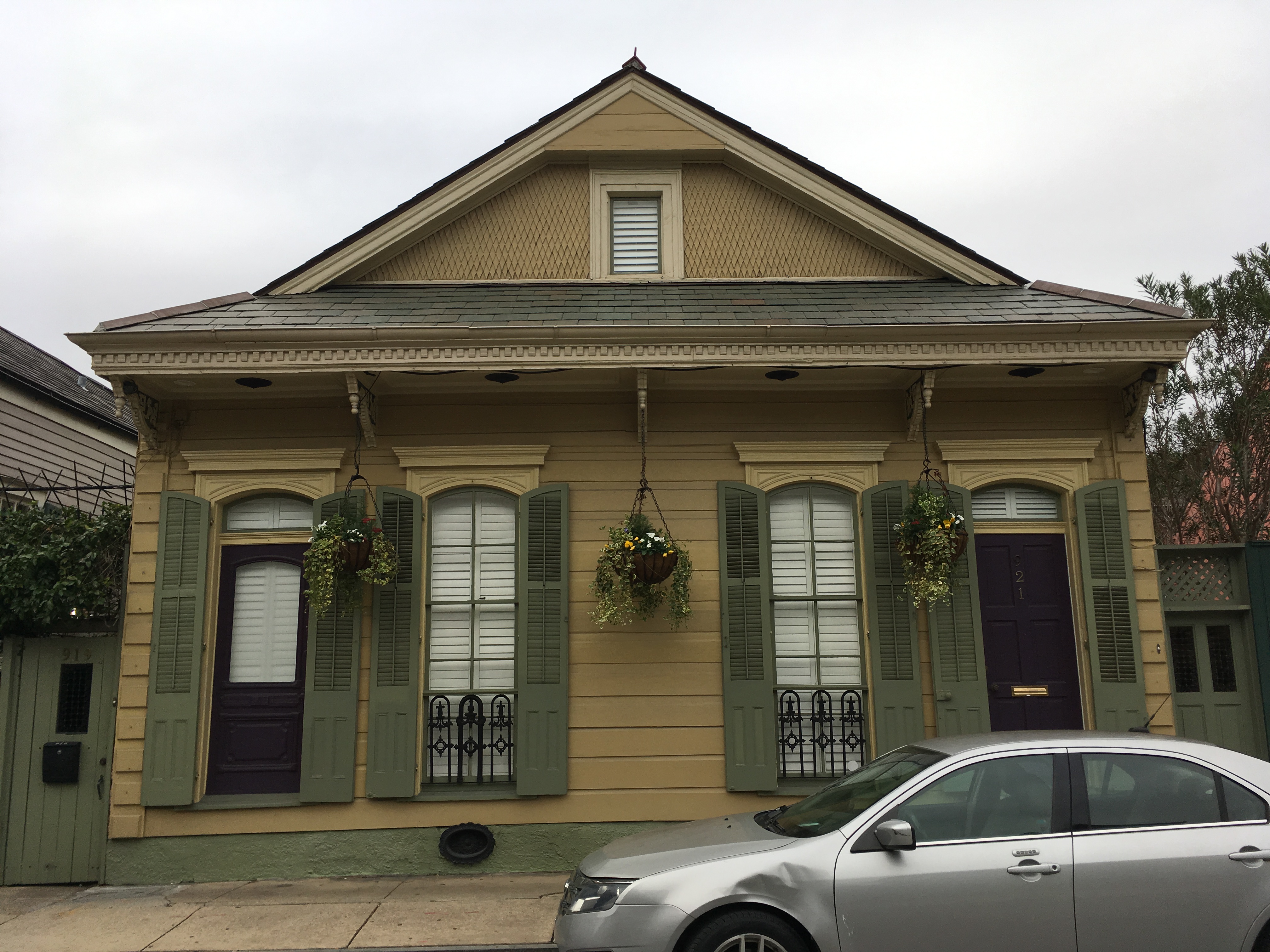
We woke up early on the 26th to take a drive up the Mississippi and tour the Whitney and Laura Plantations. Part of the gold coast, the humid, hot, swampy plantations of southern Louisiana were perfect for growing sugar cane. Originally indigo plantations, sugar cane grew so well, and the growing season was so long, that it became the dominant cash crop in the area.
On our tour of Whitney Plantation, Ali, our weary-eyed tour guide explained, “at its core slavery was an economic institution. It was the economics which made slavery inevitable, it was racism which decided who they did it to. They would have done it to the Native Americans, but they were too susceptible to disease and could flee too easily because they knew the land better than anyone, that they weren’t economic. The Africans were skilled laborers, less susceptible to disease, non-christian, and cheap. The average price for a slave on the gold coast was $1,000. Owners could recoup that investment after five and a half months on the plantation. Believe me, if Africans did not make economic sense, they would have found someone else to work this land. It doesn’t matter if that person was blue. Racism decided who they did it to, and was used to keep the institution in place, but it was all about economics.”
“The decisions at the plantation were also all economic. The slaves could not learn to read or write because then they might learn what was actually in the text of the bible and they might learn that moss always grows on the north side of the trees. The light-skinned blacks were given work in the house and special privileges to separate the unity of the enslaved. Always split up the oppressed and find a way to pit them against one another.”
“Slavery has existed as long as there has been war. The victor would take the captured enemies as slaves. It’s how the Egyptians built the pyramids. How the Romans built the colosseum. In Africa, there was already a substantial trans-Sharan slave trade and the Europeans just directed it to the new world. The Europeans traded their goods and guns for the captured slaves of traders and tribes and shipped them to the Americas. They wanted their new lands cultivated and the profits sent back to the motherland.”
“For every 100 births, there were 113 deaths down here on the gold coast. Up north in Virginia, Tennessee, and North Carolina, where they were growing cotton, the birth rate was positive. So the slave owners would sell their slaves downriver, which is where the saying comes from, down here to Louisiana to be worked to death. They would work 16 to 18 hour days in 95-degree heat and 90 percent humidity. Then in mid-October, during the grinding season, they would work overlapping 18 hour days. First, they would burn the fields because the sugar cane leaves are so sharp they would cut you all over. But that doesn’t hurt the sugar, if anything it makes it a bit sweeter because it starts the caramelizing process. Then the slaves would be sent out in formation, wide machetes in hand, and harvest. If someone died out there in the heat or in an accident, they didn't have time to stop, they just moved them to the side and kept working.”
Ali was an incredible tour guide on the immoral economics of the institution.
A lunch of gumbo, catfish, and beans at B&C seafood on the banks of the Mississippi before heading to the Laura Plantation. After a morning focused on the institution from the perspective of the enslaved, we got a different perspective at Laura. It was a more holistic tour of life inside the house and out.
“The French government hoped to cultivate these lands and used propaganda to convince people to come over. In the advertisements, they described Louisiana like it was Switzerland, with tall snow peaked mountains and rolling farmland. On the journey over, more than 70% of the settlers died, and upon arrival, they found the land was an impenetrable swamp. The travelers that did make it then had to then turn their alligator-infested swampland into productive cropland quickly, as it was their only means of survival.”
“As you can see, with its yellow, green, blue, pink, and red, this is not the all-white plantation house you think of. This is designed in the Creole style. Those brick columns you see supporting the house actually go down in a triangle eight feet deep and connect with one another to give the building stability. Below them are logs of cedar and sand...The front of the house is facing the Mississippi because here in Louisiana, it is always hot. The cool breezes from the Mississippi would flow through the house and take the hot air with it...As you will see, there are no closets for hallways in the house, because they tend to trap the heat.”
“The sister and brother did not like each other at all. So much so that their mother decided to split the plantation in two. The son got the upriver section and the plantation house, and the daughter got the downriver section and the sugar mill. The daughter then refused to let her brother use the mill during harvest, and he had to pay to use a neighbor's mill.”
“These slave cabins are not here because of conservation. They are here because people lived in them until 1972. After the civil war, life on the plantation did not change all that much. All of their skills revolved around cultivating sugarcane. All they had known their whole life was this plantation. Some may have moved north, but many stayed here and continued farming the land, this time for pay. Sharecropping was common, but on this farm, the system was that they got paid in tokens which were redeemable at the company store, which was set up on the plantation. If you needed something from the store, like soap, and didn’t have the tokens you could go into debt to pay for it. At the end of the year, you could redeem your tokens for cash. But the prices at the store would be set high that farmers would have a deficit of tokens, and be forced to work another season to pay off their debts.”
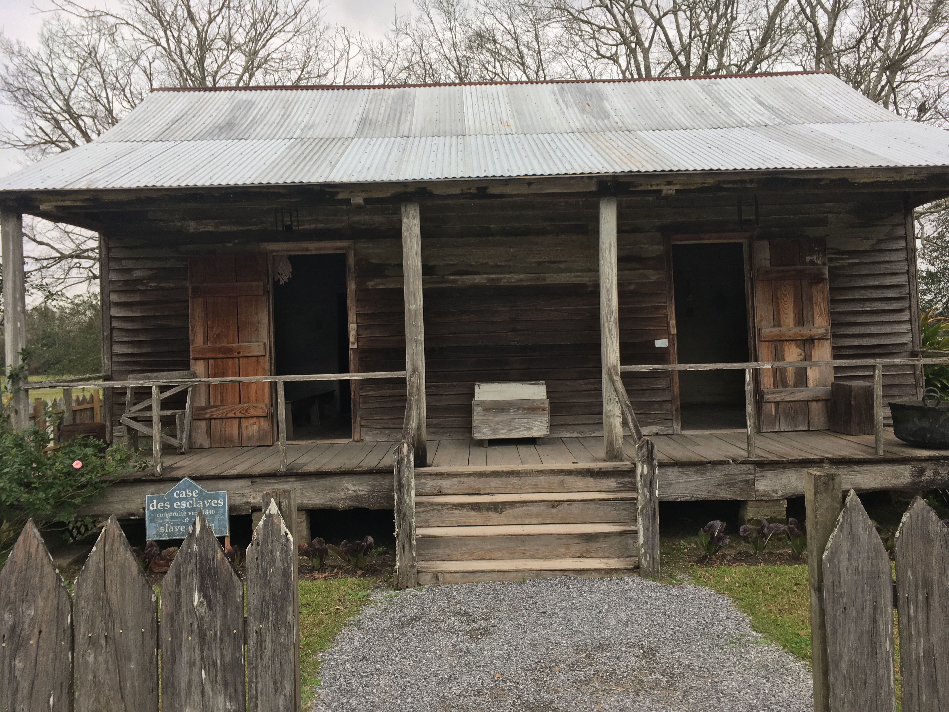
New Orleans was a very black and soulful place. The depth of character and vibrancy of life there surpassed that of any other stop on the trip. Music was a part of life, the sound of brass and jazz audible on many street corners. The architecture is colorful and unique. Long very thin shotgun homes, ornately decorated, with window shutters, and lots of colorful flair. All over town, in all types of neighborhoods, the shotgun homes gave the city a charming old-world vibe. The cuisine too is unique to the region and positively delicious. I couldn’t get enough gumbo, the red beans were sooo rich, and the seafood was so flavorful and fresh. The soulfulness of the place was infectious and seemed to be within all inhabitants of the city. The jazz clubs we went into had 20-year-olds, 80-year-olds, and everything in between. In Cambridge my folks would be dance floor elders, in New Orleans, they were middle-aged, and were struggling to keep up with the 70-year-olds boogieing next to them. It made for such a vibrant atmosphere because everyone was contributing to the fun of the place. All were welcome, all had a place, the only requirement was that you had a love of life.
On Saturday, Wayne, a New Orleans native, invited us to join him in a second line parade. We did not know what to expect, all we knew was that there would be people, a band, and a walking party. The band was the first line, and all of us walking and dancing along behind formed the second line. Put on by various social clubs or benevolent societies for the sake of having a rollicking good time, there are 40 or more of these parties throughout the year. Strutting, swinging, and dancing through the streets of New Orleans, 400 people, mostly black, were the beating heart of the city. Kids kept jumping in front of the band for their three seconds of dancing fame. The female dancers from the Ladies of Class wore pink outfits with feathers and led the first line. It was as good as life gets and again all ages of life showed up to the party.
82 days, 10,172 miles, 7 code releases. At the end of a long trip like the one I have been on would seem like the opportune time to reflect back on all that had transpired. What had I learned? What were my favorite moments? Had I changed? However, the most noticeable difference might have been that there was less of me. I was looking slimmer than I had in years. On the southern asphalt, I had grown beyond bored of my car snacks. I could not stomach another nut or piece of dried fruit. I chose a rumbling stomach over the last vestiges of my snacks. More than that though, all the kettlebelling seemed to be paying off.
Originally used to weigh produce in the barter economy of 18th century Russia, old-time farmers started to swing their bells for fitness. It became a national pastime as their benefits became clear. The first kettlebell competition dates back to 1885. Around the turn of the 20th century, America got its first taste of kettlebell training. Then in the cold war everything Russia was despised. It wasn’t until the 1990s when a Russian transplant Pavel Tsatsouline re-introduced kettlebells into America's fitness lexicon.
I got turned onto them by my co-worker Franklin. A bald, beautifully physiqued mathematician, he does two things, kettlebell and talk. His incessant chatter finally convinced me to give it a try. Before, I’d been growing stronger and wider with Starting Strength’s barbell program. With the trip looming, I figured kettlebells might be a good way to do fitness on the road. I ain’t no runner and barbells don’t travel so I bought myself a 24kg kettlebell. Then with remarkable diligence considering my disdain for weights, I followed Pavel’s Simple and Sinister plan while on the road. Consisting of 5 turkish get-ups on each side, and 10 sets of 10 swings, I started chipping off the fat. 25 minutes max the workout is short enough to force myself to do it, day after day.
I’d gotten a belly at some point between my 135lb freshman self and my 175lb post-college self. I haven’t gotten on a scale yet but I can just tell this is the fittest I’ve looked in a few years. My one pack is now looking like a three-pack. I also feel fit, crushing hikes during the trip with newfound ease. It wasn’t a takeaway I’d imagined from the trip, but not one I am upset about either.
What is the proper length of a trip? I’d been on a month-long trip to India during college, and a two-week trip to China after college, and they’d made me think traveling might not be for me. I felt like travel was such a sensory experience, but it did not have much bite. You tried interesting food, met new people, saw amazing sights, but none of it asked much of you. Days were full, many activities packed into too few days, yet I felt a bit unchallenged. I found myself missing my life back home where I felt like things were building on top of one another; where I had a purpose. It made me wonder how I’d fare with three months on the road. It turned out to be completely different. I loved being on the road. Those empty vistas were restorative. I totally liked sleeping on the couch and catching up with old friends. Exploring the states felt like I was learning something about who I was, about what being American meant. I got so used to the rhythms of the road and the constant intrigue around every corner that I found myself longing for it during the Thanksgiving break.
Now it felt strange to think this great adventure was over. I was in conflict over whether I wished the trip would continue. I was happy to be on a flight to see Iz and the housemates. But it did not feel good to be ending the long one. Even if I did it all over again some other time it would not match the first voyage. There is nothing like the honesty and clarity your eyes see upon first inspection. All details of a place present themselves. Over time, through repetition, your eyes adjust, refining the data which it notices, giving you only the essentials. Also, did this mean I was middle-aged? It was an odd and discomforting thought. Would I keep looking back to these months longing for that sense of freedom and exploration? I didn’t have the desire to keep going. Another hike didn’t sound that exciting. What was another museum going to offer? That giddiness for the next stop, which had accompanied me for much of the trip, was no longer felt. I think that meant the timing was right, but six years from now I wonder how much I would be willing to give up to do a couple more months.
Interstate 40
The trip was supposed to end there. I’d had my three-month road trip, now I would spend January back in Boston with the gang, then head somewhere warm for the spring. From ages 3 to 9 my dream was to be the greatest soccer player in history. After a couple of visits to my grandmothers in North Carolina, I was instead hooked on the game with the crooked sticks. During high school I would wake up at 5:30 AM, eat oatmeal in the dark with my mom, and then take the 1 train up to Van Cortlandt Park Golf Course, the oldest public course in the country, for some practice before school. Although I got recruited to play soccer at Tufts, “academics first!” my parents said, my heart leaned toward the ancient game. So after an injury my freshman year and a long history of concussions I made the switch over to golf full time.
I am nothing if not a dreamer, yet my mind has not let golf fully cloud my common sense. I could not go full send on the golf track knowing that if my very good D3 college career did not translate to the tour, my education and all the opportunity handed to me by my folks would have largely been squandered. I would be a lonely 30-year-old bum, with few employment prospects. Thus I hedged my bets, graduated with a computer science degree, and negotiated a job where I would work part time in the summer so I could play in golf tournaments. It meant I could give my dream a shot, fail, and have an excellent backup. So far things have been working out; I’d had a phenomenal two years in Boston, I added two years of serious programming to my resume, and my golf game improved. I even found time to go on this coming of age road trip. February through April was going to be my preseason, I would play in amateur golf tournaments over the summer, and if I was playing well, I would attempt to qualify for the tour in the fall. Thus what would there be to write about? Every day would have an entry like “Work, eat, golf, eat, work out, sleep.” This was to be a bootcamp for my dreams. That is not how things would play out though. My well crafted and executed plan of 6 years was crap in the face of life. And so my flight back to Boston on New Year’s Eve turned out to be the beginning of part two of my life on the road.
Part of the pleasure of the trip was that the staleness I felt for Boston became welcome nostalgia upon returning. Playing Catan with the lads, cooking dinner with Isabel, or just walking through Central Square were immensely enjoyable again. Fun events like a roaring 20s NYE party, an epic game of ice hockey up in NH, and a date weekend to Philadelphia with Iz, were sprinkled in; but the real gravy of the month was that time had made my heart fonder for the every day of Boston life. It was a good reminder for why I had gone on the trip in the first place. Leaving I knew life was great in Boston, I loved my friends and Isabel, yet internally I had become jaded to the place. I had the feeling of my eyes glazing over. My soul ached for an adventure that required something of myself, required me to realize some of my untapped being.
There is immense satisfaction from passing a lofty test, and if I had one complaint about my Boston life it was that it did not require all that much of me. I was capable of more, I was interested in more. A new job or a new city did not feel like the test I was looking for. Like legs that ache from a lack of exercise, my soul ached from a lack of toil.
My bags packed again I headed back to NOLA to reconnect with Norman and make my way west. Without street cleaning or identifiable parking regulations of any kind, the plan had been to leave Norman on a quiet street in a well to do neighborhood for the month and hope for the best. Fortunately a friend of Wayne’s who we had dinner with on our final night in town offered up his driveway. Thus upon arrival I hopped in a cab and headed to cushy Uptown to reconnect with my better half.
Besides some very squeaky brakes, which are probably to be expected from a month idle in ninety percent humidity, Norm seemed as healthy as ever, and we headed off to get Tacos! Wayne had shown the place to us, a three foot wide hole cut out of a corrugated fence in a side alley marked the ordering counter for the best tacos in town. Somehow Bon Appetit had found out about them and ranked them as one of best new restaurants in the country, much to their unlicensed chagrin. I downed their oily cheesy goodness in minutes and was back in Norman for the 5 hour shot to Baxter’s.
On my way out it was good to see NOLA was up to its usual ways. The streets were flooded with kids and parents in their Star Wars gear celebrating Chewbaccus, partying through the streets for the umteenth time that year. The Louisiana roads seemed unchanged as well with a drunkard going 10 mph in the middle lane of I-10 very near where the accident had occurred a month before.
When I’d left Baxter in December, she was living in a studio apartment over a garage, now she was in a one bedroom on the left half of a duplex a few blocks away. A major upgrade, this place had a backyard, a full kitchen, and a very nice neighbor named Ronda who lived on the other side of the duplex and took quite a liking to me.
A month further along in her recovery, Baxter’s hip was feeling good enough to go for a bike ride through Buffalo Bayou to the plant shop on a warm and sunny Saturday. We picked out a few good options for her very shady backyard and I ordered outdoor lights to string up overhead. It was a perfectly lovely day and week, one that gave me a wave of second thoughts about if the journey to California was the right call.
The 26 hours of driving each way was daunting, who knew what living in a trailer with the Lytle-Rich’s would be like, my sister and her friends would be a good social scene here in Houston, and all I was gaining was a 2 hour time difference. Isabel set me straight though, reminding me of all the things my mind was too frazzled to remember, and sent me back on the road.
I took the northern route, up through the Texas panhandle and across New Mexico and Arizona on I-40. This is where I saw real wind farms. Thousands upon thousands of turbines dotted the landscape for as far as the eye could see. Spurred by Bush’s deregulation of the energy market, Texas now produced more than double the wind energy of any other state. After an hour or so of driving through them I started to become conflicted by their presence. On the one hand they had converted these wind swept and forgotten farms into green energy gigafactories saving us from the ills of fossil fuels. Yet, the beauty of the endless landscape and the restorative calm of rural America was lost with those white blades whirring in the background. Especially at night with the synchronized flashing of their red lights, they look like an army of drones marching ever closer. It made me understand the desire of some people to not have them in their backyard, or neighborhood, or view.
Crossing the border into New Mexico the windmills disappeared and my mind could start to enjoy my environs again. Sage brushes and round juniper trees started appearing strewn across a golden grassland. It stayed like that for days. Just rolling hills of gold interrupted by round splotches of green. It was the most unchanging landscape I experienced on my travels and its monotony provided a good backdrop to call friends and listen to Audible.
Flagstaff appeared abruptly and inexplicably nestled in amongst ponderosa pines at 7,000 feet. After parking I could see Humphrey’s peak, a snow capped triangle, sticking up into the sky. The place caught me so off guard in my sagebrush tunnel vision. An artsy, crunchy oasis, with snow on the ground and more in the forecast. In Arizona? Looking it up, I learned Flagstaff receives over 100 inches of snow each year due to storms sweeping across the desert and freezing on its elevated slopes. Walking around it was so cold that I had to take out a couple of winter jackets which I would have left at home if I had such a thing. I wandered the streets, poking into little shops, checking out restaurant menus, and imagining what an ideal place this would be to live, before I got too cold and ducked into a pub for a big bowl of french onion soup.
Carpinteria
Across the Mojave Desert and into the glorious California sunshine I drove. Having gotten an early jump on things I stopped off at Rustic Canyon Golf Course for the first round of the season before making my way up the coast to the trailer in Carpinteria.
Derogatorily called a trailer by Kathy, who was upset her parents had sold her childhood home in Santa Barbara to move here, it was really a double-wide mobile home in a mobile home park. (To her defense it does have two license plates on the back and must be registered through the RMV) She inherited it a few years back when her parents passed, and now she and Curtis keep it as their foothold in paradise. With their coffee business capably managed by their daughter, they flee here January through April to avoid the Western Mass winter. Having absolutely no idea what to expect when they the opportunity to stay with them in their trailer I figured we would all be on top of one another and I would be looking for an apartment of my own in a matter of days. I was shocked by the setup. In a well-maintained mobile home park, the trailer had three bedrooms, two sitting areas, and a 1970s style island in the kitchen. I found myself assigned to the “garden room”, a glassed-in porch with a bed and no heating. It made it feel kinda like I was sleeping outside which was totally charming, and it had a view of the mountains. Only the bathroom in their room had a shower, so I had to time my uses appropriately, but they had seen me grow up and were like an aunt and uncle to me, so it was no matter.
That first morning Kathy got us up and out, excited to give me a tour of her homeland. I was absolutely floored by the beauty of the place. I’d arrived at night so had no idea of my environs coming in. What I found was the most beautiful marriage of mountains and sea I have ever seen. Driving north into town, the Santa Ynez Mountains, their ridges green but unforested, rose dramatically on the right, the blue waters of the pacific lapped the shoreline on our left, in between at the confluence of the two a small strip of civilization. In combination with the blue sky and the palm trees swaying 40 feet overhead, I couldn’t really comprehend what I was seeing. Beautiful, but in a different way than any other beautiful landscape I had ever seen, drier yet still green. And then to think I was going to be living here for three months. It made me all giddy and chatty as we had breakfast at their favorite spot, Jack’s in Carp.
Over the next few days, as I got into the rhythms of life, my awe rarely ceased. The golf course nearby was cheap, difficult, and had views of the mountains on three sides. Any drive in any direction often turned into a staring contest between me and my side windows as I tried to see the surfers catch a wave or make sure the mountains were still real. Then there were the farms! On the sides of just about any road were avocados, strawberries, and citrus, grown by the thousands, and sold at local farmers markets for cheap. In short, it was the most fabulously stunning place I had ever seen outside of the national parks. Even with those, it could compete.
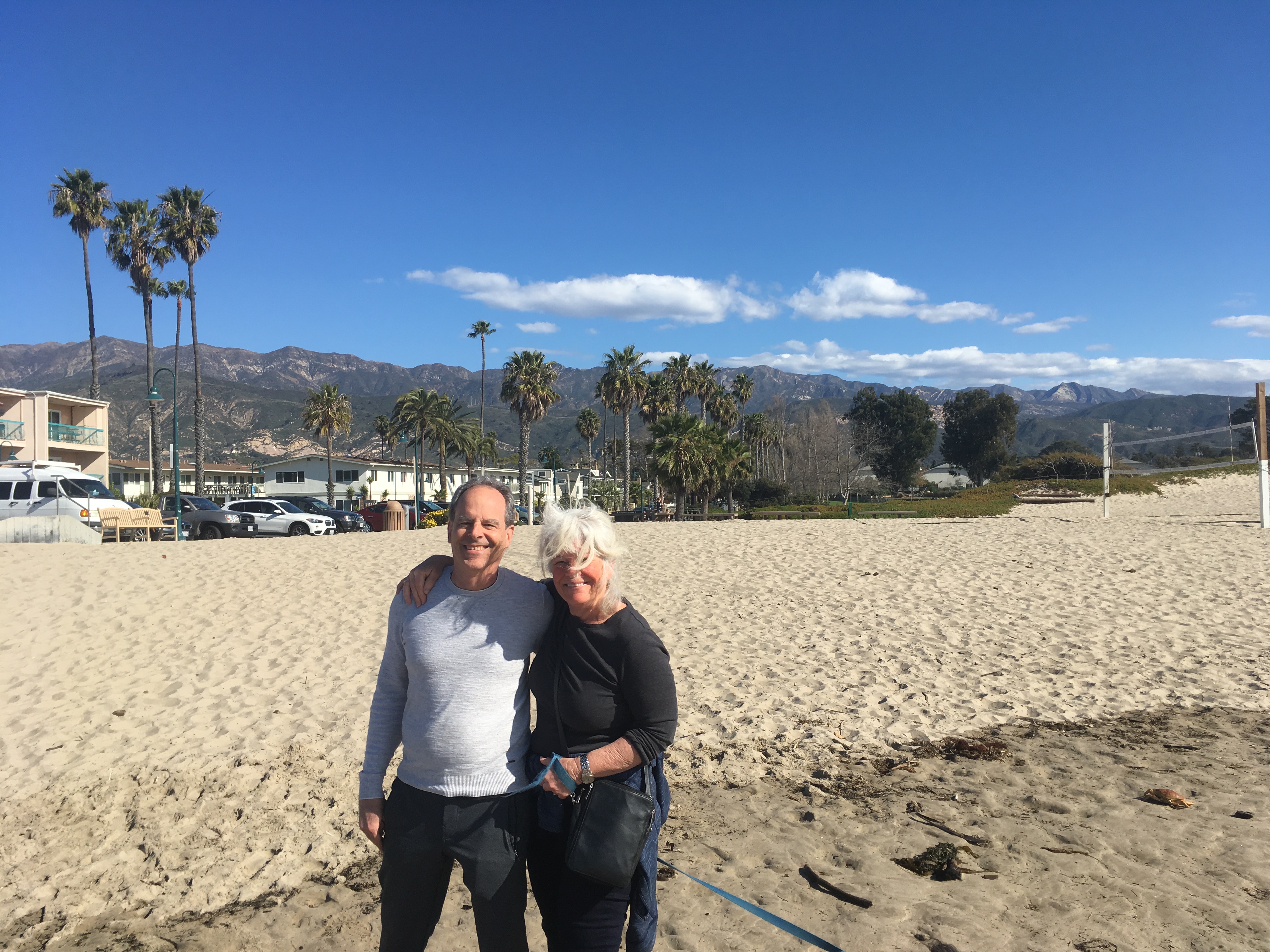
I may have been there for golf, but I was invited to stay because the Lytle-Rich’s needed a dog sitter. They had a 25lb Chiwawa named Theo, who did not play nice with others. Combined with a desire to take trips on long weekends while they were out here, they needed someone to keep the dog alive. Thus my task on my first weekend there was to take care of Theo while they zipped off to Vegas with friends.
Growing up in NYC we didn’t have a dog, a cat, a hamster, or any other furry creature, just a few fish that we struggled to keep alive. I also hadn’t been around pets much in college or post-grad. So crazy enough this was my first experience taking care of a dog. It just happened to be a dog that would bark his head off every time I walked in the door and was apt to bite me if I gave him a little side-eye. I repeat, does not play nice with others. He looooves Kathy though, insisting on being in her lap for most of the day. With Curtis he is perfectly civil, understanding that Curty is the boss and also the man with chicken breast. Anyone else though, especially any delivery man, is the enemy.
Fortunately for my sake, Theo was super mopey without Kathy around, which meant he was docile enough for me to get the leash on him for his daily walks. The little bit of chicken breast I held out in front of him as a treat, as I clipped him in, didn't hurt either. Other than that the dog sitting was minimal. He barely touched his food, and I made sure his water bowl was always full. Thus when they arrived back on Monday full of casino triumphs and a cameo appearance on an episode of Pawn Stars, I was able to truthfully say there had been no incidents.
After a couple of weeks, I seemed to enter Theo’s memory and he stopped barking at me when I entered the house. I felt special after that, not being on Theo’s naughty list, especially when he would go berzerk at someone when we were on a walk around town. At least I was no longer that guy.
Theo also has some hilarious qualities that made him loveable after a while. If people were not around at the beach, Kathy would take off his leash and he would go tearing around in circles at warp speed, trying his best to breach the sound barrier. After a poop he would strut, high-kneeing with all four limbs, as a show dog might in front of the judging table. Best of all, he would brush his own teeth before bed. I swear to god somehow they trained this dog to take a toothbrush in his front paws and move his head back and forth so his teeth got a good brush. He would NOT go to bed without doing it. After a couple of weeks of being scraped against his incisors, the toothbrush would be worn down to the plastic and he would beg for a new one. Did it do him any good? I have no idea, but I would laugh heartily every time I saw it. Best dog trick I’ve ever seen.
When I wasn’t dog sitting or working, I was indeed playing golf. My research of the area had been good; this was in fact the greatest collection of public courses in the country. Within 30 minutes there were three excellent public courses that cost less than $20 to play any afternoon. The course I went to most often, Soule Park in Ojai, had a deal where if you joined their player’s club for $38 per month you got half price on afternoon rates, $11 after noon, or $7 after 3 pm on weekdays and $15 and $8 on weekends, plus two buckets of balls per day. Coming from NYC, where a shitty muni takes an hour to get to and will reveal none of her treasures for less than $56 and 6 hours of your life, this was heaven. Plus it is 68 degrees and sunny every goddamn day of the year.
My days consisted of 7am-3pm work, 3pm-7pm golf, 7-11pm dinner and hanging out with Curtis and Kathy. Some nights would consist of poker or Mexican train, or maybe a night out at a local brewery, nevertheless most of the chatter revolved around politics.
The Democratic primary was in full swing, with debates happening weekly, candidates joining and dropping daily, and policy changes happening faster than reporters had a chance to get them to press. It was perfect for back seat commentary which all three of us were plenty happy to partake in. It was interesting hearing their perspective as lifelong liberals yet also small business owners; they felt like a Warren or Bernie presidency would mean bad things for their coffee business. Often all of that small business talk can feel like a cover for other Republican values, but here, Obama-loving democrats, people I trusted, were saying that a vote for a democratic often felt like a vote against the interests of their business. Who was I to say they were right or wrong, it was just very interesting to me that they felt that way. For feeling, in the world of politics, is all that really matters.
The circus of it all kept all three of us engaged, the stakes made us nervous. Do we choose someone electable? Someone we like and respect? Someone who has an engaged following? It was a fascinating election cycle and most nights after golf I would come back, one of us would make dinner, and we’d sit around the TV watching a debate, an election result, or the talking heads. It was some of the first cable television I had consistently watched since high school when I watched cable dramas with my folks. I try to avoid it because I know I am such a screen watcher. And sure enough, once my eyes were glued to the tele, evenings would slip by without giving my remembering self much to savor.
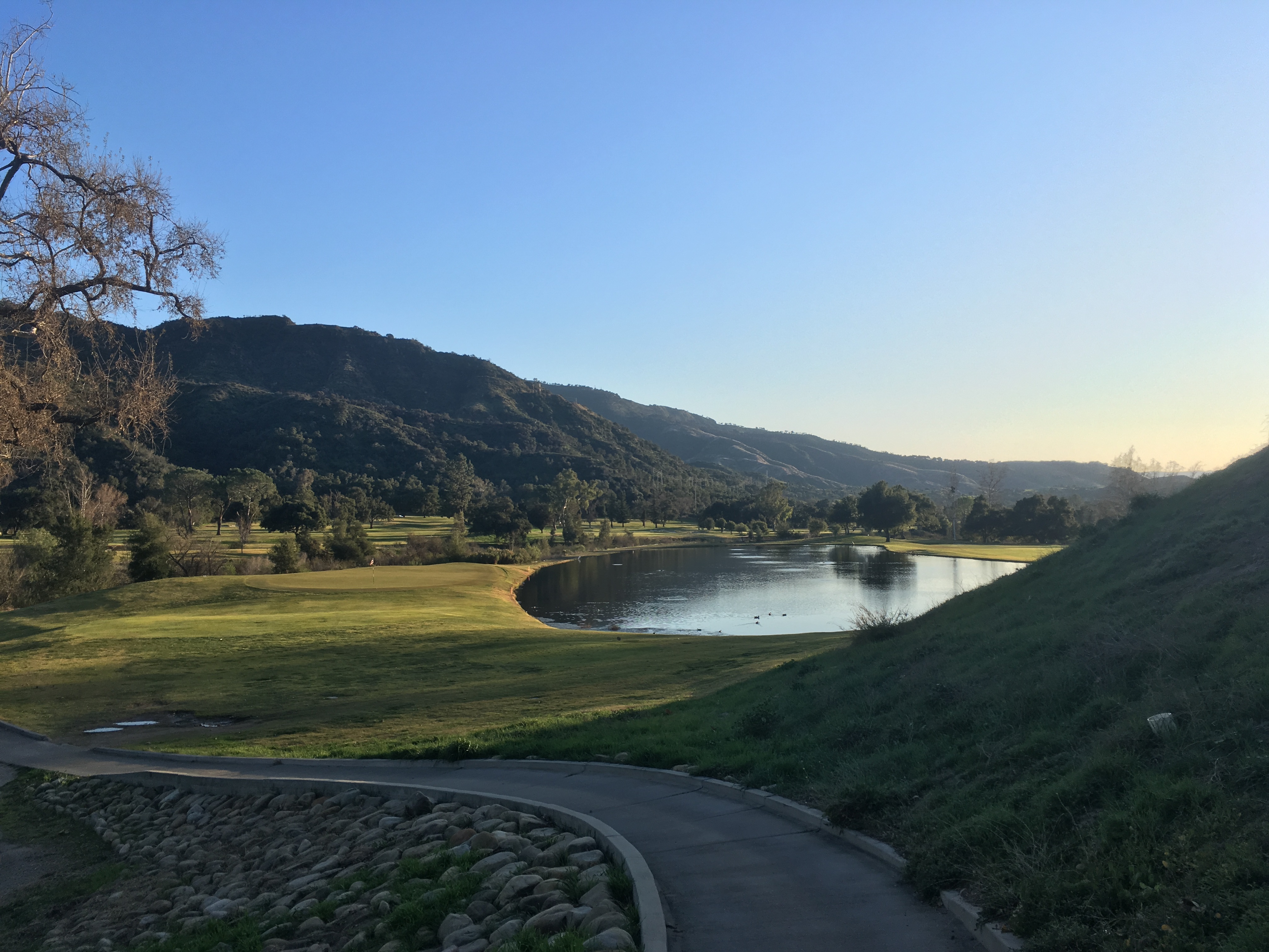
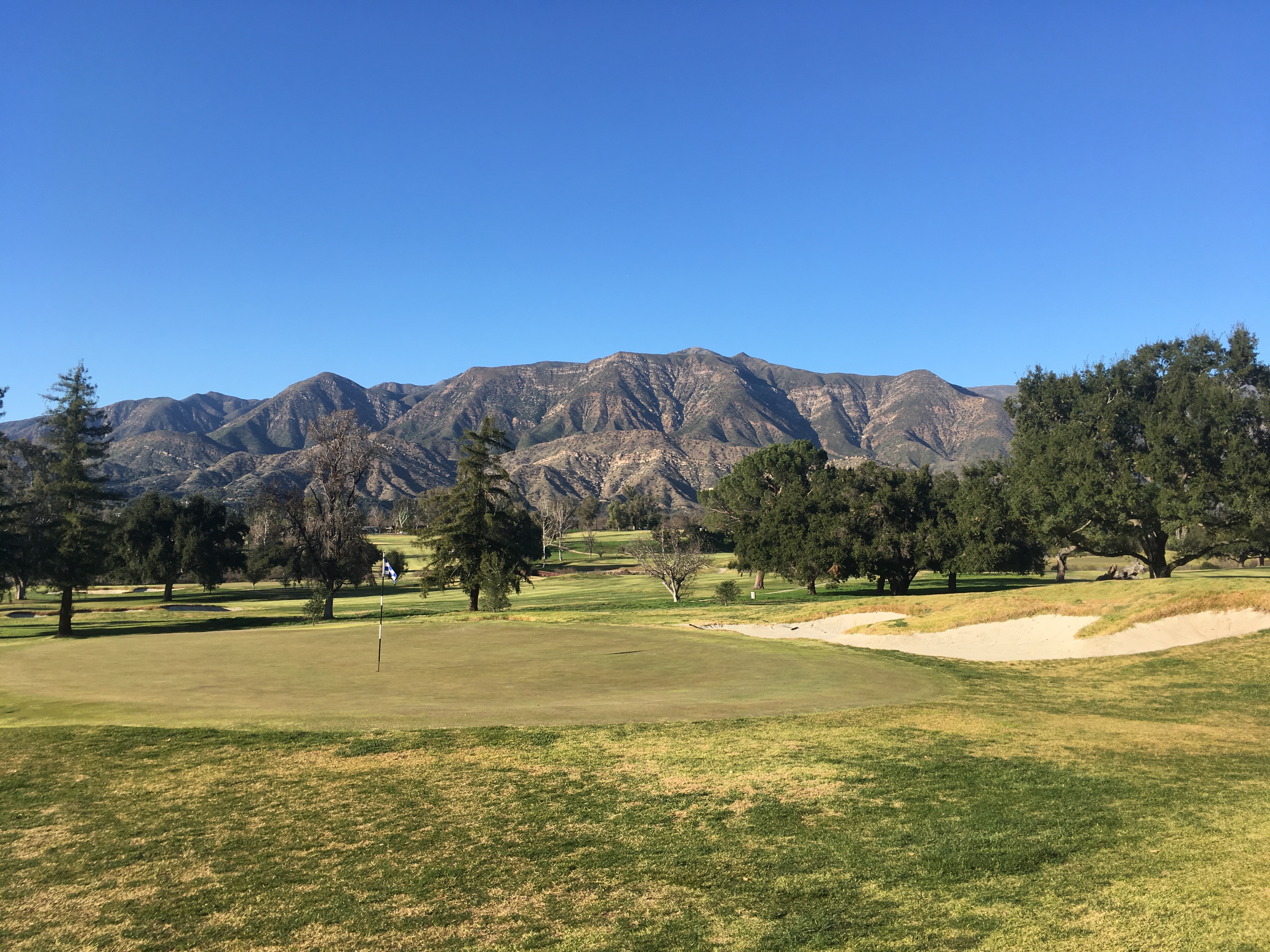
“Water! Waaaaaater,” we rasped in jest. The lovely Isabel Agnew had come out to California to see the confines I had been raving about. Now we were sunburnt, tired, and could think of nothing but our desire for a sip of cold water.
We’d decided to go camping on Santa Cruz Island, the largest in the chain of Channel Islands National Park. The islands beacon mistically as one drives up the 101, just a few miles offshore. After hearing my rapturous reviews of the parks from the fall, Isabel wanted to get in on the action herself. I’d offered a few itineraries for her visit, but Isabel insisted that camping out on the islands sounded like the most fun. The fact that we didn’t have proper gear and the only open campsite was a backcountry site sans running water, the main campsite closed for renovations, just made the adventure all the better.
To make up for our equipment deficiencies we brought planning, creativity, and gumption. We would take the 9am ferry out on Thursday and the 4pm back on Friday, leaving us 29 hours on the island. The campground was 3.8 miles uphill from the dock, there were no water facilities open on the island, and temperatures would range from 50 to 70 degrees with the possibility of 20mph winds. On our side, we had a tent from the 1970s made of canvas and metal, two puffy sleeping bags, a teal duffel bag, and an indigo Osprey backpack. In our beta testing, we figured out that the camping gear could all fit in the duffel bag with only moderate bulging. If we wore our clothes, all we had to carry in the backpack was food, water, and a second pair of underpants and socks.
Isabel: “Oooh what if you made peanut butter and banana sandwiches and we could have them for breakfast!” Owen: “Sure! And what do you think of burritos for dinner? I could get them the night before, refrigerate them Wednesday night, and we could have them for dinner Thursday.” Isabel: “That works. And then we can get breakfast before the ferry Thursday and supplement with snacks.” Owen: “Done!”
For water, I did a good bit of research and found that the rule of thumb was one gallon per person per day. Easy enough, 29 hours, two gallons. For clothing, we figured shorts, sweatpants, t-shirts, and sweaters. Thus we’d have layers for both 50 and 70. If anything we were worried that with wind we might get a little chilly.
With our plan researched and executed to perfection, we took it as a badge of toughness when the ranger on the ferry asked “Where's your stuff? Oh is that all?” We didn’t need all that other junk, we had what we needed for our 29 hours. The only audible from the plan we’d made was to chug half a gallon of water before the ferry and fill up our two water bottles with the rest of the gallon so we didn’t have to lug around the big plastic container. The two-hour ferry was spent mugging for the camera and excitedly pointing out dolphins we saw jumping in the distance.
With the duffle handles around my shoulders like a backpack and the actual backpack feeling like a sack of bricks on my compatriot’s shoulders, we started the trek uphill. Along the way, we passed day hikers who’d plopped down at scenic spots and were now enjoying their lunches before turning around. We thought to ourselves, what a colossal effort - a two-hour ferry each way - just for five hours on the island. We also noted the vegetation or rather the lack of trees, allowing for spectacular views of the mountainous island sloping down into the crystal blue Pacific. It definitely felt hot though. A high of 69 with an unusually light breeze and zero cloud cover meant by the time we made it to camp our shirts were soaked through and our cheeks were pink. The view from our campsite took away all human concerns though. It was a bit away from the two other tents and had a view over half of the island. We could look down and spot the harbor where we had been dropped off, or look out and see the undeveloped majesty of the island sitting lonely 20 miles offshore the mainland.
After struggling to set up our tent and join our sleeping bags into one giant cocoon, we went off exploring. We hiked in one direction for a few miles, hit a fence saying “Keep Out Native Preserve”, turned around, and made our way back to camp for our burritos and a little painting of the sunset. Our neighbors were back too, an elderly couple who were just finishing their fourth day on the island, and a 30-year-old Asian man who kept to himself. It was going to be just the five of us that night. Plus the island foxes, cute little creatures only found on the islands. Sneaky bastards, one tried to scarf our neighbors’ loaf of bread as they were distracted chatting with us. Fortunately, we yelled “Swiper no swiping!!” and the cute little feller slinked back into the bushes.
Around here is when we first noticed how quickly we were going through our water. We had a little less than three-quarters of a gallon left. Hiking in the open sun, we had continually reached for our bottles. For whatever reason, be it the lack of cloud cover or the lack of wind, 69 degrees had felt super hot. It had even turned Isabel’s Irish skin a nice Maine lobster red. Those were tomorrow's concerns though. We finished the evening by housing our burritos and making very abstract paintings of the sun falling over the far side of the island. Being February this took us to 6:30pm whence it was pitch black and chilly. We retired to our combined cocoon and knocked off for 12 hours.
The morning hike would be our big one, an 8 miler with 4 miles back from campsite to ferry tacked on. Through sagebrush, chaparral, and various types of grasses we made our way further up the coast until we came to the most stunning overlook my eyes doth seen. Mountainous terrain plunging into a calm blue ocean with a strip of sand a couple of miles long providing the conjoiner. Skipping and yipping, jumping and running, down to the shore we went. We stacked rocks, took photos, and watched a couple of surfers with a private boat shred the break all by themselves.
The task of trekking back now lay before us. Eight miles from coast to campsite and then 3.8 back to the coast. The trouble was only a couple sips remained of our morning water ration, with a quarter gallon back at camp. The trouble doubled a couple of miles later when we were horsing around and fell on a very wet pile of fox poop. It got all over my left hand and Isabel’s sleeve. But with no water left at this point, the best we could manage was to wipe it around in the grass. Iz also couldn’t take off her long sleeve for fear that the sun would truly light her skin on fire. It made taking down camp, each of us working with our only clean hand, extremely difficult. But it made for easy jokes that had us laughing through our misery.
All of our preparation and planning had brought us here; hot hungry, desperately thirsty, and contaminated with fox poop. In hiking books like A Walk in the Woods, or Wild the author always writes a passage about how he or she had dreamed about a hamburger, or ice cream, or whatnot, for DAYS, and how delicious time made these American staples. This was my dabble into that experience, except that it was condensed into four hot, sweaty, near delirious miles in the pursuit of a sip of water. For a bottle of water, I would have given $100 without a shred of thought.
Arriving at the dock felt like crossing the finish line of some spartan challenge. By the time we were finally seated with full water bottles in hand, Isabel looked like dementors had sucked the life right out of her; head resting on hands, mouth ajar, eyes rolling up into her eyelids, all of her facial muscles melting off her bones. I am sure I looked no better.
Our apathy towards life displayed itself with our initial refusal to go see the dolphins jumping beside the boat. By the time we peeled ourselves off the plastic benches and hobbled outside to the railing, there were dozens of dolphins swimming in teams of three to six jumping and frolicking in the waves created by the bow of the ferry. Each set of dolphins would take their turn, launching themselves through the wall of a wave, before circling under the bow of the boat and getting back in line. It must have been a pod of 100, and they had sought us out to entertain themselves in the tedium of ocean life. The water was so clear we could see their every movement 15 feet below. For 20 or 25 minutes this went on, the most joyous interaction with wildlife I think I will ever have.
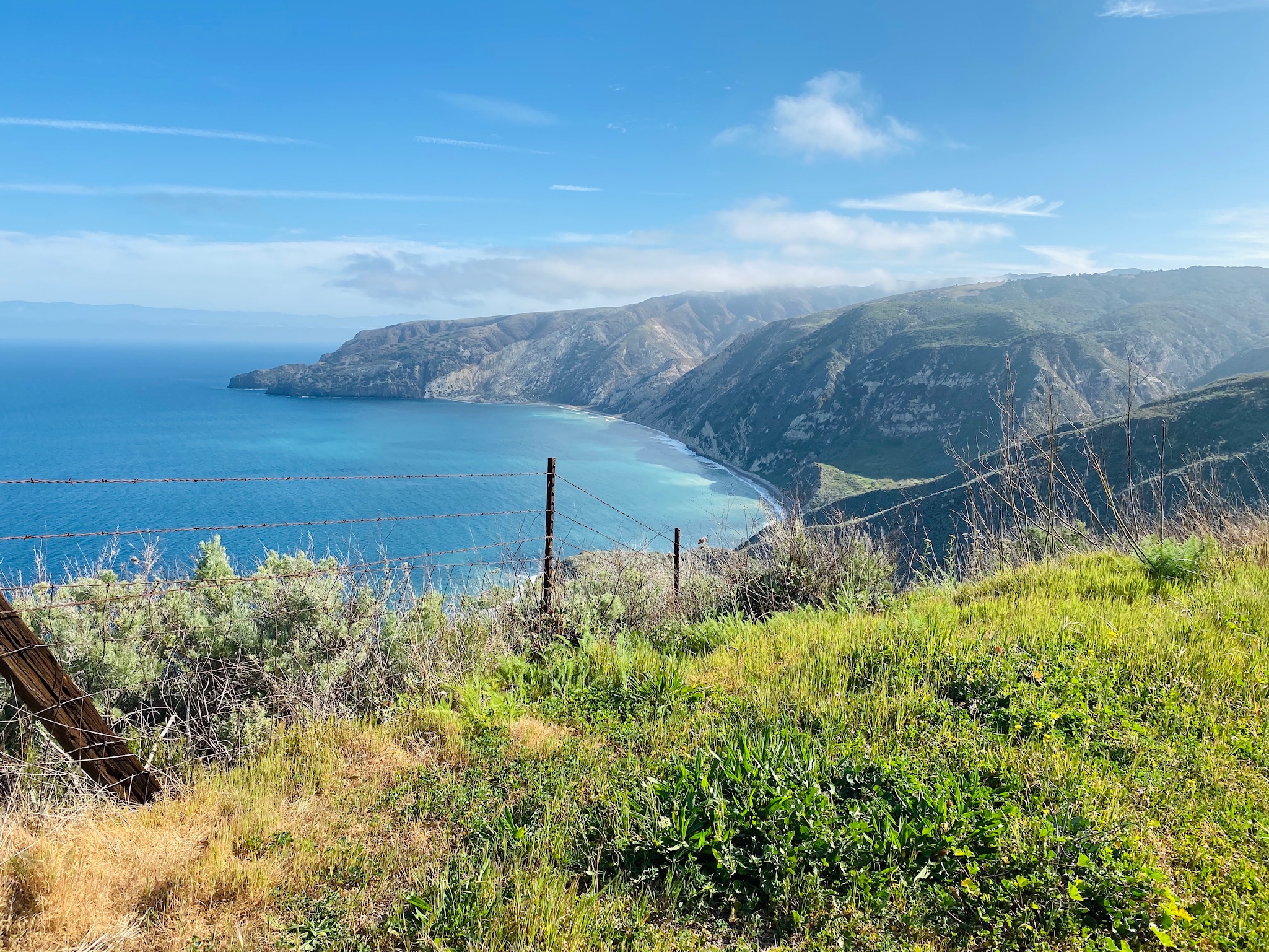
Heart of Darkness
In the heart of darkness, I fled. Standing 78th in a line of 150 people, all of us six feet apart, waiting to enter Costco, the news came in, at midnight the state of California would enter shelter-in-place. My dad called and offered the opinion that if I did not leave the state that night I might not be able to leave; there was to be a $1,000 fine if you were found out without a valid reason. Perhaps they would even close the borders of the state. I pulled out of line, returned the shopping cart, and headed back to the trailer to pack up.
The past couple of weeks had been very strange. The invisible enemy was coming for us. We didn’t know how quickly it would arrive, and yet every day we became more closely acquainted with the idea that bad times were coming. No friends or family had confirmed cases, just a few were sick of some sort or another, but they couldn’t get a test and it was winter so some form of sickness was to be expected. Yet the news reports were bad, and because I believed them, the guidelines made sense. I lived with two people in the 60+ category so I was going to do my darndest to not be responsible for infecting them. All people and stores turned into germ factories and warehouses, my imagination starting to make the danger nearly visible. Golf was now a solitary activity, trips to the grocery store had to be discussed, and everything else was out of the question. The strangest part of it all was the change going on inside our minds. In the matter of a dozen days, our neurons had been wiped of thoughts other than corona. We had been reprogrammed with the new guidelines, and code patches with further revisions were downloaded daily with the morning news. The papers were all discussing how delayed our response had been, and how dearly we would pay for our delay. To me though, on a personal level, it was remarkable how quickly people had responded to the stimulus that times had changed. Routines ingrained through a lifetime were uprooted and replaced voluntarily in a matter of days.
Inside the trailer, Curtis and Kathy were in the war room every day trying to keep their coffee business afloat, keep the paychecks flowing to their 140 employees, and keep paying their health care premiums. All the while new guidelines would come out daily involving social distancing and best practices. It meant Kathy would start most mornings in an absolute panic about how the new guidelines would ravage the company, and by the afternoon would have her game face on and be positive about their chances of persevering through.
As the boundaries of life shrank ever smaller I started to get the feeling that when the great fight really started to hit home, I would be off in California, not battling it out with my team. My parents and childhood friends were in NYC, my girlfriends and college friends were in Boston, my ingrained spirit was back East too. I wanted to be there with my team if this fight was to be as hard and long as the news reports said it would be. Thus when I got the call that California was heading for shelter in place, that golf courses would close, and thus my childhood dream put on hold, the decision was easy, I was driving back East to be with my people.
“I’m leaving!” I announced upon walking into the trailer. “HOLY SHIIIIIIIIIT. No WAYY!” Kathy screamed.
She turned apoplectic on the couch, in shock at the suddenness of the change. Curtis, the philosophy major, turned a bit wistful about the freedoms of youth, and for a second contemplated hopping in the car too. I wanted them to come, but it was not to be. So I packed up my clothes, put my clubs back in their travel bag, retrieved my storage boxes from the shed, and repacked my car just the same way I had after each stop over the previous five months. Walking back into the trailer, eating my last supper of frozen BBQ ribs with Curtis and Kathy, and seeing my “garden” room so barren, it was tremendously sad. Sad to feel like I was abandoning them here in this faraway land ( even though Kathy grew up here ). Sad to be leaving so many activities and opportunities that we had wanted to do unrealized. Sad that this great month we had shared out here in paradise was over, cut short enough to be but a daydream.
By 9:30 pm, two hours after I had gotten out of line at Costco, I was on the road headed for the California border. The plan was unset after that. Isabel was the likely destination in Boston, but the warm weather of Houston also beckoned. I could make that decision on Friday though, tonight was just for getting to the border. My mom, worried about my drooping eyes, came to the rescue with a winding two-hour conversation into the wee hours of the morning. After she tapped out I had about two hours left to Nevada. Without human conversation, I deployed all the tools in my arsenal to keep the gap between my eyelids from closing. Mild remedies included putting on a book and popping a piece of gum between my chompers. More serious curatives were face slapping and flip-flopping between the windows open in the frigid desert night and windows closed with the heat on full blast. My personal caropothy sufficed and at 2:06 am I crossed the Nevada line. Feet later I pulled over at a gas station in Primm, Nevada, and fell asleep. Step one, of a very long journey home, was complete.
Step two began five hours later at 7 am when I called into my morning meeting to ask for the day off. Back to Boston was 40 hours of driving and there was no real way to work from the road as I had done before. Starbucks had decided the week before to close all of their stores nationally, and it was likely that all the public libraries along the route would be shuttered too. Plus if I took a leisurely route what could I do or see along the way with everything shut? Thus this would be a mad dash across. 40 hours divided by 3 days meant 13:20 of driving per day, which was doable. Clocking in Friday and then driving 6 hours after work, followed by 17 hours on Saturday and Sunday seemed untenable though. Fortunately, I had nothing important to do at work so Mark was kind enough to grant the vacation day with little trouble. At the end of the call my co-worker Matthew chimed in with the helpful intel that Denver had been dumped on the day before and more snow was in the forecast. My planned route was up I-15 to Utah, across to Denver on I-70, before hopping up to I-80 and taking it all the way to the coast. But snowy, icy, and foggy conditions did not sound conducive to fast driving, thus at 7:30 am I was on tiny back roads picking my way south to I-40. The new route would be a reversal of my February drive, through Flagstaff and Albuquerque, to Amarillo and Tulsa, and up to St. Louis, Indianapolis, and Scranton, before making it back to home turf.
Such a long drive refocuses the brain and tiredness hits not in absolute terms but at the same relative section of the drive as a four-hour drive. It is a magical thing since five hours of driving the night before and only five hours of sleep would usually leave my eyelids drooping with gravity. Instead, I sped through the high Mojave desert, down across the majestic Arizona flats with mountains ringing the distance, up into the snowy climbs of Flagstaff, and back into the beige brushland of New Mexico. The speed of this drive showed how varied the ecosystems of America were, and just how quickly they changed.
Norman, whose issues remained as mysterious as ever after visits to four different mechanics, was performing admirably so far on this drive. Pulling into Old Town Albuquerque to pick up some take-out fajitas though, he started to misfire when I was stopped at a light or a stop sign. It felt like a little hiccup and the RPMs would tick down for a split second. If the RPMs ever got up over 1,000 though the issue would evaporate. Nonetheless, it was an ominous sign for a road trip on which I had 2,232 miles to go. As I sat on a bench in Old Town imagining the bustle of the past few months, eating my mediocre chicken and steak fajitas, it started to rain. It was a sign. I called it quits, snuck back into Norman, pulled a sleeping bag over myself, and fell asleep.
Awaking three hours later, confused and feeling like I had been knocked out with a shovel, the clock appeared to read 8:04 pm. On startup, Norman’s idling issue had not miraculously recovered and I needed to drive at least another four hours to keep hope that I could make it back to Boston by Monday morning. I hatched a new plan, to make it to Amarillo Texas that night and go to a Meineke first thing in the morning to check out this hiccuping issue. Back on the road, I returned to the wires chatting away the evening before pulling into the Meineke parking lot a bit before 1 am. I brushed my teeth below its neon sign and spent another night in my caboose.
With the sleeping bag and my Mets blanket, I was pretty well insulated, yet I awoke to my alarm at 7:30 shivering, with frost on the windows. I tried to make myself somewhat presentable and then inched my way the 20 feet into Meineke. Josh, his hat slick with oil, blackened fingers, shoulder-length hair, and a gaunt look to his eyes, walked out of the back room and into my heart. I spilled the whole history of the misfire issues, and something about the elusiveness of the solution stoked his fire, made him want to prove his superiority. He went off testing everything in his repertoire. We went on a short test drive to discuss the issue and he offered me the opportunity to come into the garage to view his thought process. One by one he confirmed non-issues, the spark plugs, ignition coils, fuel injectors, timing, O2 sensors. Eyes blank and distant, his thoughts internal, Josh paced around for a bit and ran a few more advanced tests. No luck though. “I can only fix what I can diagnose. And we do not have an oscilloscope which we would need to check the wiring and voltage. I am very sorry but without that, I cannot do any more. That car can make it back to Boston though, I guarantee that. Just get on the road and set the cruise at 80.” No fix, but I left 2.5 hours later with far more confidence in Norman’s capabilities, and a strong desire to come back to Josh for all my mechanical issues.
The timelapse began anew, the panhandle of Texas, Oklahoma City, takeout BBQ at a stand outside Tusla, and up into St. Louis. The trees which had been absent since my departure from California began appearing again, and along with them came the suburban sprawl which makes America so beautiful. All the time in the car made my body ache and my eyes want to do anything but look forward, however it was proving very useful for catching up with all my relations. I didn’t really listen to any of the books I had downloaded. I just went from one phone call to the next, talking the miles away. Never great at keeping up, it was great talking to all my loved ones as we headed into this new world; to hear where they were at, and to get a pulse on how a large swath of people were feeling. Past St. Louis and now driving through the night to Indianapolis, a few people who had a change of heart were the Agnews. Two days had passed since I had taken off, an absolute eternity in these times, and a new fear had seeped into their minds; if Isabel came down to Boston and got Covid-19 she wouldn't be able to come back home, separating the family during the pandemic. They now wanted me to come straight to Portland, an idea I was adamantly opposed to since I may have contracted the virus along the drive. The last thing I wanted to do was infect Isabel’s parents or my parents. I’d never forgive myself. Thus at the 11th hour on the evening of Saturday, March 21, 2,000 miles from the trailer and another 1,000 miles from the northeast, I was truly homeless. I could potentially stay with my friends in Boston or my sister had offered me to stay a week with her and her boyfriend in Houston, but neither were long-term solutions. Nobody was to blame, it was just an indication of how quickly emotions changed, and how quickly good plans turned bad. After a two-hour period of limbo where everybody aired their current emotions, a new plan was hatched; Isabel would come down to Boston for a week to quarantine, and then the two of us would go back to Portland after everyone felt okay that risk had been mitigated.
One upshot of the late-night drama was that it kept my mind wired at a time I otherwise would have been at risk of sleeping while driving. I had cruised past Indy, my planned destination, and pulled into a Comfort Inn in Richmond, Indiana at 2 am. I might have gotten a late start because of the Meineke pit stop, but since 10 am I had driven 16 hours straight. A performance that left me with a very manageable 12 hours on Sunday.
Never in my life have I been a germ freak, if anything I think we are getting ourselves into trouble by living in too sterile of an environment. Yet lying in bed it was difficult to get my mind off all the surfaces I touched on my way from the car, to check-in, to side entrance, to room, to bedside table, to bathroom, and on and on. Metal was said to be the worst for contraction, with the virus lasting up to 9 days. Who knows at this point though, we were in an info-demic; too many contradictory statements by “a leading epidemiologist” to have anything to lean on besides fear.
Fortunately, morning came soon, blue and bright, and I was back on the road. There was not much to say about Indiana or Ohio. Mostly wooded, relatively flat, kinda rural but kinda suburban. Anywho, I made it to Pennsylvania a bit after noon and fell in love. Not stunning or stark like parts of the West, the rolling ridges and picturesque farms in the valleys along I-80 brought the touch of beauty needed to make Pennsylvania the most complete state in the union. It has the history, the northeast bustling city, the gritty rustbelt hardship, the burgeoning fracking industry, the religious tolerance of the Quakers, Mennonites, and Amish, it experiences all four seasons, and here it has farming and beauty.
Taking a nap out of necessity around 5 pm outside Scranton PA was a bitter pill to take. It forced me to miss the beautiful scenery just as the golden hour approached. Instead, I was accompanied on the home stretch by night’s tunnel of darkness. This was not just the end of the desperate sprint across the country, but of the Long One, on which I had departed six months before. The plan for the spring had been simple: go West and practice for my dream for three months. But I think whenever you cast off so far from home, you leave yourself more susceptible to the winds of life, and adventure is likely to find you and sweep you where it will. Certainly, that is what happened to me, my journey was no longer dictated by my careful planning. Now I was reacting day by day to a changing world. Plans were as good as daydreams. I woke up each day needing to re-evaluate and make a new plan according to the world’s new environment. And so I was arriving back on the midnight train, slipping in unceremoniously for the end of such a defining period of my life. Blackness cloaked the environs of Pennsylvania, New York, Connecticut, and Massachusetts, the stomping grounds of my youth. It would have been so fitting to see them in a bath of sunshine and be able to reflect on all the places I had seen, only to come to the conclusion that home was pretty darn beautiful after all. No such comparison could be made, and no such fitting capstone could be put on the end of the Long One. As I pulled up to the brick facade of 885 Massachusetts Ave a whole new adventure was beginning, far more frightening and consequential.
Quarantine
After a week of hibernation in Boston, we headed up to Isabel’s childhood home in Maine. There the lockdown was total and complete. US caseloads were exploding at an almost exponential rate, the virus lived on surfaces for nine days, face masks didn’t work, and anyone over the age of 60 was severely at risk. At least those were the prevailing theories. It meant any out of the house excursion required four out of five of us to vote yea. Occasionally a necessary work errand to the post office was approved, but for the most part, anything other than grocery runs was out of the question. Even those were hotly debated. Some were rejected because there was still food in the fridge, or that the grocery list was too short, or not meal planned well enough.
The goal was to shop only once per week, which meant planning 105 meals: 5 people, 3 meals per day, 7 days. The quantities staggered the mind. How many red peppers should we buy if they are needed for shakshuka, chicken provencal, pasta with sausage, peppers, and onions, and nightly salads? How many lemons would we need for salads, baked goods, and nightly cocktails? Then after all that planning shopping would devolve into a shit show at the supermarket due to supply chain shortages. The planned chicken provencal would have to be scratched because the entire chicken section was empty. Looking down the list, Thursday night’s dinner, grilled chicken thighs and asparagus, was also no longer an option. We were lucky if 75% of the list was in stock.
Meanwhile, we were decked out in the supermarket with a mask, gloves, wipes, and a visceral fear of others. We’d head down an aisle of produce only to see someone coming from the other direction also heading for the sweet potatoes. We’d stop in our tracks, maybe even reverse, and motion for our fellow germaphobe to proceed.
We tackled the shopping operation as a team of two, each person filling up a shopping cart to the brim. At checkout, we would fork over $600+, around $5 per meal, and head home. That is where step two of the operation began. The shopping team would bring the grocery bags into the kitchen and place them on the floor. From there team two would remove items from the bags, wash them with soap, and place them on a cleaned section of the counter. Cardboard boxes would get wiped down with Lysol. One time it took over two hours to complete this cleaning process for a $627.42 haul.
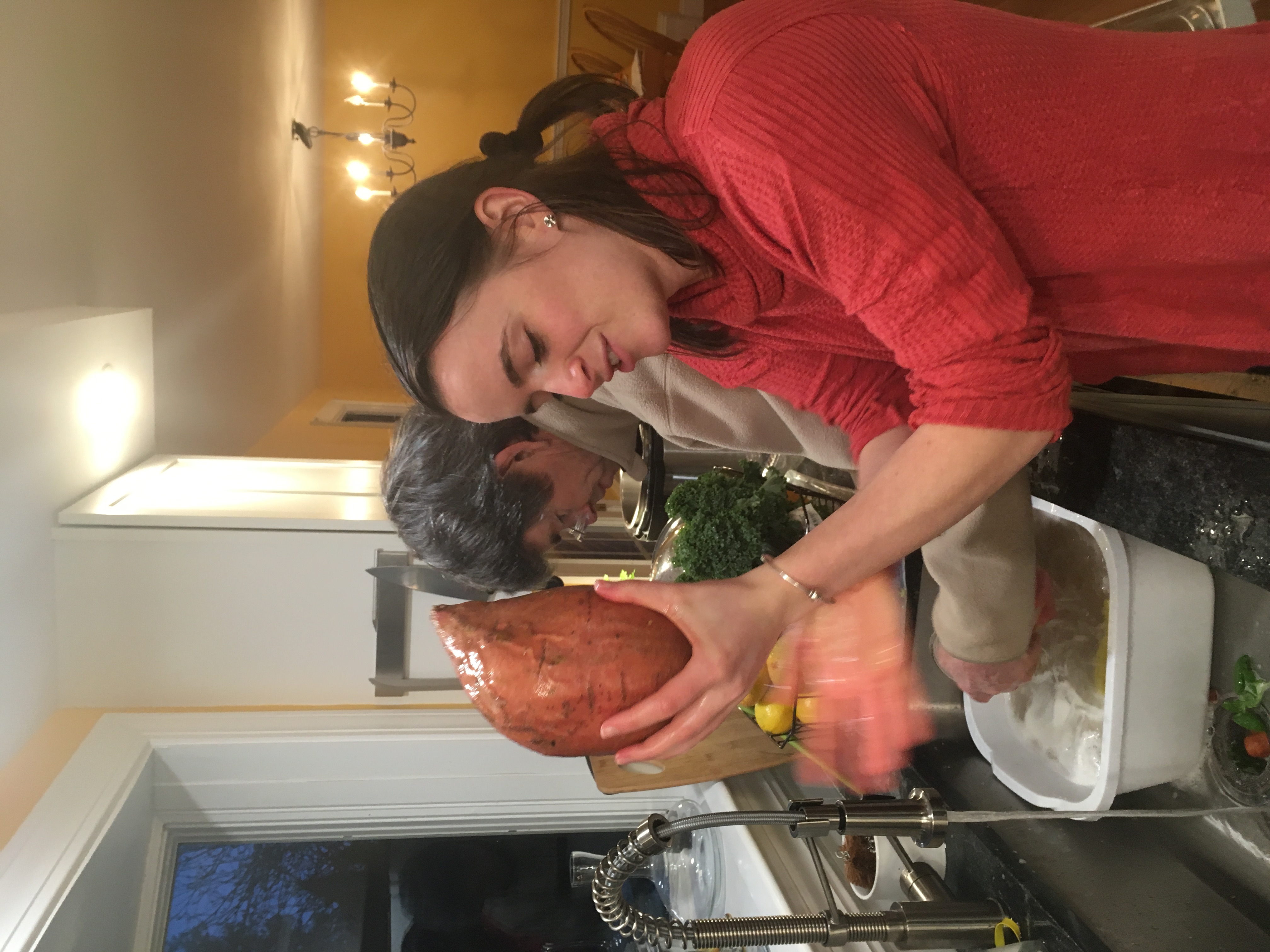
Day after day was washing past with minor entertainments, tie-dying, constructing a backgammon board, working out, playing the board game Clue, but in the aggregate nothing substantial. It had been six weeks back on the east coast and I had not figured anything useful to contribute to the cause. No invention or innovation had popped into my head, I had no medical experience, and I couldn’t volunteer at the local food bank without risking getting the virus and spreading it to the Agnews. I could contribute money, which I did with my stimulus check, but other than that I had little to offer. Thus with snow falling outside Isabel’s childhood window in late April, I decided I would go be useless down in North Carolina. There, with golf courses open, I could at least make headway on my childhood dream.
After a couple of 2 AM nights looking, I found a cute studio apartment available in Aberdeen NC for $650 and a quality golf course offering $130 for unlimited golf for the month of May. When Saturday rolled around I told the Agnews I loved them very much and waved goodbye. I was on the road again. 13.5 hours to NC with an overnight pit stop in NY. I wanted to see the parents since I felt pretty clean of the virus and had no idea if I would get to see them again in 2020.
The road was clear and the driving easy. A couple of calls to neglected friends later and I was on the West Side Highway zooming into the city. It felt strange to be back. I had been away since Thanksgiving, five months, the longest I had ever been away from NYC. It gave me warm nostalgia being back, seeing the sights of my life with refreshed eyes. Yet the place was also the epicenter of the pandemic. A normal sight was made odd by its normalcy. My mind expected signs of the apocalypse, but my eyes were seeing a lovely spring day, the type that gives you unlimited energy after a winter inside. Runners and bikers on the bike path near the water in Riverside Park looked like a stream of ants, each one following directly on the heels of the next. Many were not even wearing a face mask, and so were most certainly breathing in all the same air.
The next morning after a lovely dinner of chicken with roasted tomatoes and cured pork belly, combined with a digestif of Catan, we awoke at 7 AM to go for their usual walk around Central Park. I manned the camera, the parents the binoculars, and we walked through the sleepy paths of the North Woods. Fellow birders with telephoto lenses were also out capturing the influx of migrating birds which was apparently peaking this weekend. My grandfather had been a birder, something none of us could really interest ourselves in. Yet in a strange moment of history repeating itself, his son, my father, was all of a sudden getting into birds. My mom used to drag him out of the house to go on walks with her. Now that he has birds to see, he is the first one out the door. So as we walked he would excitedly point out a masked warbler, a night heron, or point to the spot where two weeks before he had seen a red-tailed hawk bathing in a stream. It was humorous to see him in such a state and absolutely glorious to be in the burst of spring. The trees in Maine had been bare, those in Mass budding, Ct was lightly dusted with new growth and NY was exploding with flowers and the light green of new leaves. We wandered their usual route for a good two hours and then headed back for home. I had managed to snag one great photo, of a female cardinal perched on a branch a few feet away.
9:30 am now, the park felt much less safe. Exercise junkies abounded, most of them had their masks tucked under their chins, not protecting anything. Also, a string of 200+ people was lined up near the entrance to the park waiting 6ft apart for masks that the city was handing out. It all felt very crowded like there wasn’t enough air for each of us to have our own air pocket. Some air was definitely getting passed back and forth. It gave me a queasy feeling that maybe my parents were much less safe than I had imagined. With food being delivered and them not seeing friends I thought they were at low risk. This felt risky though. But who was I to tell them to stop such walks, it was their only exercise and their lifeline to the natural world. Without them, there was no chance they would have made it 7 weeks under quarantine, much less the two years more they might have to remain quarantined.
Norman
All four of us in my family have lived a majority of our lives in NYC, making us far from a car family. Until I was ten we did not even own a car. The first time my sister ever drove alone was when she moved to Houston, purchased a Hyundai Elantra, and drove it off the lot. My own car ownership experience began my sophomore year of college when my grandfather passed, leaving his 1994 Toyota Camry. Margee she was named, and what a babe she was. No radio, no A/C, and no complaints from me; she was a beauty. After college though, the repairs started to add up, and I went in search of a younger model. A senior at Tufts posted on Facebook “My parents are cutting me off :(. Selling my Hyundai Accent 39K miles for $3,500.” I couldn’t say no; a gas efficient, two-door, with 39K miles, for $3,500?! It was the deal of a lifetime. And for the first year, including the first half of the road trip, it had seemed that way. Norman, who is the husband of Margee in Fargo, was a cute little workhorse for me.
In Houston, on my way back through to Cali, Norm started to idle really rough. I went to my sister’s neighborhood mechanic for a tune-up, where he cleaned the filter and changed the spark plugs. That seemed to do the trick, until my second day in California when the check engine light came on. I went to the local mechanic who said the errors were P0300 and P0304 misfires, and that I probably needed new spark plugs. “I think that's what I just had replaced a thousand miles ago,” I said. So instead he put in a new ignition coil and cleared the codes. At the golf course a few days later, Norman shuttered at startup, the check engine light came back on, but then drove well the 30 minutes home. This continued to occur on and off for the next week, always at startup, after which Norm would drive smoothly. I returned to the local mechanic and this time he insisted we try new spark plugs. Sure enough, that didn’t work and I never went back.
When the shuttering at startup returned next I went to the Meineke in Santa Barbara. They seemed like true professionals and put Norman through the ringer, making sure each cylinder was keeping pressure and that the spark plugs, ignition coils, and fuel injectors were working properly. Norman didn’t misfire while he was with them though, and they did not find anything clearly problematic. Still, a couple of weeks later the problem returned and this time it was far worse. Norman was misfiring like crazy, and no matter how hard I pressed the gas pedal I couldn’t get over 25mph. When this occurred I happened to be only a couple of miles away from the Hyundai Dealership. Clearly the issue was not a simple one, so who better than the Hyundai experts to have a look. A couple of days later the dealership called with the news that the errors were P0304 and P0300, and that the car needed new spark plugs. When I said that couldn’t be, that twice in the past month I’d had them replaced with the Hyundai recommended NGK iridium plugs, the dealership said they would keep looking. When a couple more days went by without any word from them, even though I attempted to call them seven times, I was so irate with their incompetence I went down there and picked up my car before more time could be wasted.
Then the pandemic hit, the mad dash across the country, and the desperate stop at the Meineke in Amarillo Texas. In Boston and then in Maine, I drove Norman sparingly, opting against taking him to a mechanic for sanitary reasons. If we were truly limiting exposure, then the mechanic was unnecessary.
With the trip to North Carolina upcoming, I finally took Norman to a friend of the family, a mechanic who worked out of his parents’ trailer in the Maine woods. A Trump 2020 flag flew loud and proud over the trailer, with 20 or so car projects strewn across the yard. Some looked ready to be picked up, others looked like decomposing carcasses. He was a mechanical wunderkind, having performed many miracles on the family’s Prius, long after other mechanics had declared the car totaled, at about a third of the price. A 30-year-old with bleached blond shoulder-length hair, he was courteous, kind, and funny. After a couple of days of diagnosis, he claimed my misfiring issue was related to a bad lifter; a piece inside of the engine that swells with oil and provides a little spring for the intake valves. For the cost of $200, he repaired it.
I trusted him, but my gut had its suspicions, and sure enough at my first stop on my drive from Maine to New York there were a few hiccups. A few ominous hiccups which indicated my pursuit of a working car was going to be a long one. I did my best to suppress the idea, the memory, the fear. I did not want to wait a week in NY while I had Norman checked out. So I didn’t tell my parents about the misfires and come Saturday morning I just sent it.
Now, at a gas stop just south of DC, my first stop of the drive, Norman started misfiring like crazy. He felt like a pimp-mobile, bucking up and down, with the regularity of a beat. At stoplights misfires would pile up, creating what felt like a debt that had to be paid off by flooring the gas pedal. Any driving under 35mph seemed to cause some misfires, so after a slow start off the line, I would fly past cars trying to keep the misfires away. The shuttering at start-up and occasional misfires of the past few months were ignorable if I tried, but this was undrivable. Norman’s engine felt in need of an emergency room visit.
In one of my wiser moments, I decided to pull over and found a hotel across the parking lot from a Meineke. I was a couple of hundred miles from Aberdeen and in a decently populated area with hotels, strip malls, and mechanics. If I tried to push it I could break down in a much less populated area. Worst case scenario I’d break down in the pine tunnels of I-85, miles from civilization.
Promptly at 7:30 am I walked across the parking lot and into the Meineke.
“I’ve been to a handful of mechanics and nobody can figure it out. Sometimes at startup I get misfires, and sometimes after 300 plus miles of driving I get misfires, other than that though the car drives great. Yesterday after about 300 miles it started misfiring and driving up Route 1 it was misfiring like crazy. I was really having to press the accelerator to get any movement.”
“Alright cool, the owner is actually going to be here soon and he is a mechanical wizard. I’ve never seen a problem he can't fix. And I’ll have him take a look.”
As you can imagine, productivity was low, especially because Meinike kept calling with questions. One time I went back over and we went for a test drive because Norman was feeling shy and had stopped showing symptoms. Sure enough, at the end of the test drive, the misfires returned, if only a bit more occasionally, and they returned to diagnosis.
At 3:45 pm I got a call “I’m sorry we were not able to figure anything out. The car is running good right now. We can try again tomorrow but so far we have not been able to identify the problem.”
Well shiiiiiiiiit. Now I’d spent a day in Dumfries, Virginia occupying a motel with a vagrant crowd of maskless men, and had absolutely nothing to show for it. If they could not figure out the problem in a day, what was the hope that a second day would be more fruitful? I was 305 miles from Aberdeen and like much of the country I was reversing my thinking of the day before. At the same time states were reversing course and re-opening even though the health crisis was no better, and likely worse, than when the lockdowns were initiated, I was reversing my wisdom of stopping. I had been so proud of myself for having the restraint and maturity to stop. Now though, with Norman in exactly the same condition as the day before, it felt like absolutely the right decision to push on. How could my thoughts from both days feel absolutely correct and objective even though the circumstances were the same? You could argue that I now had more information, but not really. It was still an unknown issue causing misfires that might result in me breaking down in the pine tunnels of I-85.
Yet into the pine tunnels I went, my conscience confident in my decision. It is my favorite part of the drive, two lanes in each direction, cut hundreds of feet apart, with dense 100-foot tall longleaf pines all around. On bright blue days, you can see a thin blue stripe up above you between the dark green and cinnamon of the pines, going straight off into the distance. I like to roll the windows down, turn the music up, set cruise control, and see how far I can make it without having to touch the steering wheel. Sometimes miles go by without the need for intervention.
From there the route continues to Raleigh / Durham before getting back on Route 1 for an hour-long drive into town. Here again, I rolled down the windows and soaked up the sweet clean smell of the pines. It might just be a chemical plant in the area, but it is my favorite smell in the world. Not the piney smell of a Christmas tree or that of pine sap, it is much fresher, and the scent wafting in made me glad I had made the trip down.
About 40 miles away my gas tank flashed empty, and about 20 miles out I pulled over to fill up. While fueling I noticed Norm was peeing. I opened the hood and found the coolant reservoir bubbling feverishly, causing green liquid to spill over onto the ground. It was my next clue in Norm’s long saga.
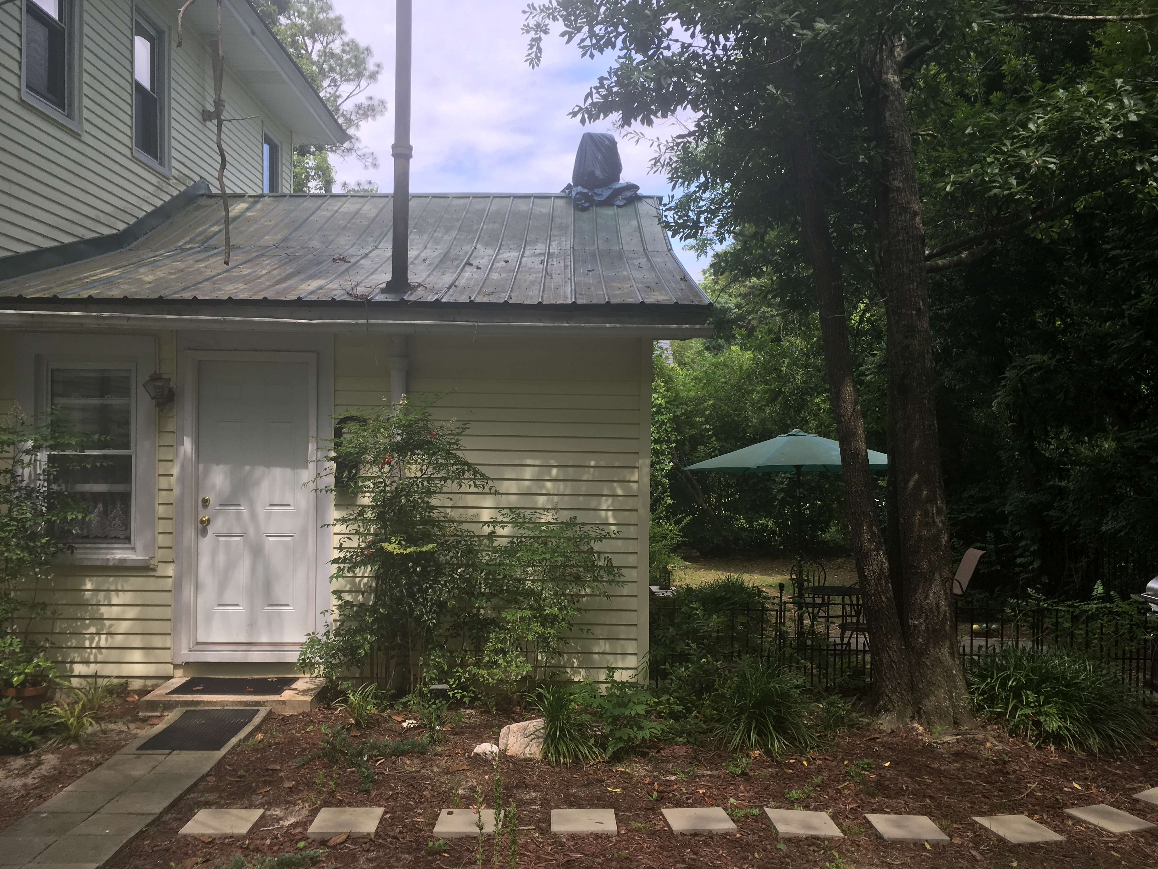
On Monday, six days after arriving, I found myself thumbing on the side of US 15501, light drizzle falling, golf clubs on my back, four miles from my apartment. It was 8:04 PM and though Uber had gotten me to the golf course, I was now discovering that all the local Uber drivers did not work past dinner. Where was Norm? Currently in the process of being towed from the dealership to a backwoods mechanic who was one-quarter the price.
After arriving the previous Monday, the whining from under Norm’s hood kept getting worse, so on Thursday, I went to Gary's Auto Shop. At noon the prognosis arrived - a blown head gasket. It is a little piece of metal between the top and bottom of the engine; its job is to keep the oil, gasoline, and coolant, flowing separately from one another inside the engine. When it blows it means a crack has formed causing at least two of the three liquids to mix, which can have cataclysmic consequences for the engine.
“We did a block test and immediately saw bubbles in the coolant. Plus the oil is turning milky. Both of which are tell-tale signs of a blown head gasket.” Scott, Gary’s son said.
“Well shit. How much will it cost to fix?” I asked.
“Ohh, we don't do engine work like that here. You’ll either have to go to the dealership or the body shop in Pinebluff.”
I spent Thursday afternoon calling local mechanics asking for quotes, all of which were in the $1500-$1700 range. Thus on Friday, I took him to the Hyundai dealership since they had the shortest expected repair time. However, after taking a look, the dealership gave me a call and said the repair would require replacing the exhaust manifold, skyrocketing the quote from $1700 to $4400. As a bone, they offered that Hyundai might provide an extended warranty given that the car was still young at 81,000 miles. Thus I spent the weekend carless, praying for kindness from Hyundai headquarters.
“I’m sorry but because you are the second owner of this vehicle you do not get the 100,000-mile warranty. You get only a 60,000-mile warranty, and you are at 81,000 miles. And because this damage to the exhaust manifold was likely caused by salt put on northern roads and not a Hyundai part malfunction, we must reject your claim.”
$4,400 to repair Norman?!? Do I fix the car? Do I buy a new one? I spent most of the workday Monday scouring the used car market. Pickings were shockingly slim for an aging, well-off, easy driving area. $4,400 to repair my 2010 Hyundai Accent with 81,000 miles or $5000 to buy a 2007 Prius with 137,000 miles? So distraught I sought counsel from Scott at Gary’s Auto Shop.
“Is it worth it to repair a 2010 Accent with 81,000 miles for $4,400?” I asked.
Scott thought about it, then uttered “Maybe not. But I have a guy Brian Munn who ought to have a look. I worked with his father years ago. He might take twice as long, but he’ll be a quarter the cost of the dealership. And I will bet that the exhaust manifold doesn’t need to be replaced.”
It was all I needed to hear. I called Brian up and had Norm towed from the dealership to him.
Carless and in limbo with Norman over the weekend, I found myself ubering to and from the golf course. I went in the morning and came back in the late afternoon, so I had no problem finding a ride. I would wear a mask and roll the windows on both sides down for the 5-minute drive to the course. It being a weekday now though, no drivers were on duty, and there wouldn’t be for the rest of the night. So I was thumbing, golf clubs and all.
Car after car went past. Light drizzle pattering down as I walked in the grass along the highway. A couple of times a guy would slow down, but invariably something held him back from stopping. I couldn’t blame them, fear over the pandemic was near peak, and for the most part, the drivers were on the older side. I had a cloth mask on, made by my mother, to show I was taking it seriously, but still, no one stopped. After about a mile of walking, near the top of a long rise, a beater car, neon Dominoes sign on the roof, pulled over on the side of the highway. Kindly the driver offered to drive me the 2.7 miles to Aberdeen. He was in his middle 30s, had grown up in the area, and was trying to get into computers. We chatted for the entire five minutes about what he was learning in his classes and where he wanted to go with it.
Brain called the next morning with the estimate of $1300 and a week for the fix. That afternoon I went to Enterprise to rent a car for the week, only to find out that the $187 quote I saw online didn’t cover insurance, which would be an additional $200 for the week. I don’t have collision as part of my insurance on Norman, so if I didn’t pay the extra $200 I would be entirely liable for any damage that occurred to the vehicle while in my possession. Thus $387 for a week's car rental, or $187 for a week with the risk of a $15,000 bill if I got into an accident. $387 was 35 trips to or from the golf course with Sandhills transport, a local taxi service which I’d found that morning and who had promised to work until 10 pm. $387 was also near one-third the cost of the damn repair itself! I couldn’t stomach it and resolved to use taxis that week. I reasoned that I was to be so isolated this entire month, that I would be unlikely to transmit the virus to the driver, and I was apathetic to getting the virus myself. Thus I‘d take the $233 savings and the taxis.
For that week, and eventually, the two weeks after that, my life shrank to the range of a previous century. Besides for the taxi rides I took to the course, I was limited to where my legs could take me. The farthest I went consistently, besides the golf course, was the .8 miles to the grocery store. My schedule was work 8am-4pm, golf 4pm-8pm, workout, dinner, writing, and sleep. It was a boot camp for my dreams.
Finally, two days before my time in North Carolina was up, Norman was ready to be picked up. True to his reputation Brian Munn was one-third the price and muuuuch slower. With medium-length curly hair, a huge garage, and a stable of cars littering the front lot, he very nicely returned my ride home, and said he hoped the fix would last.
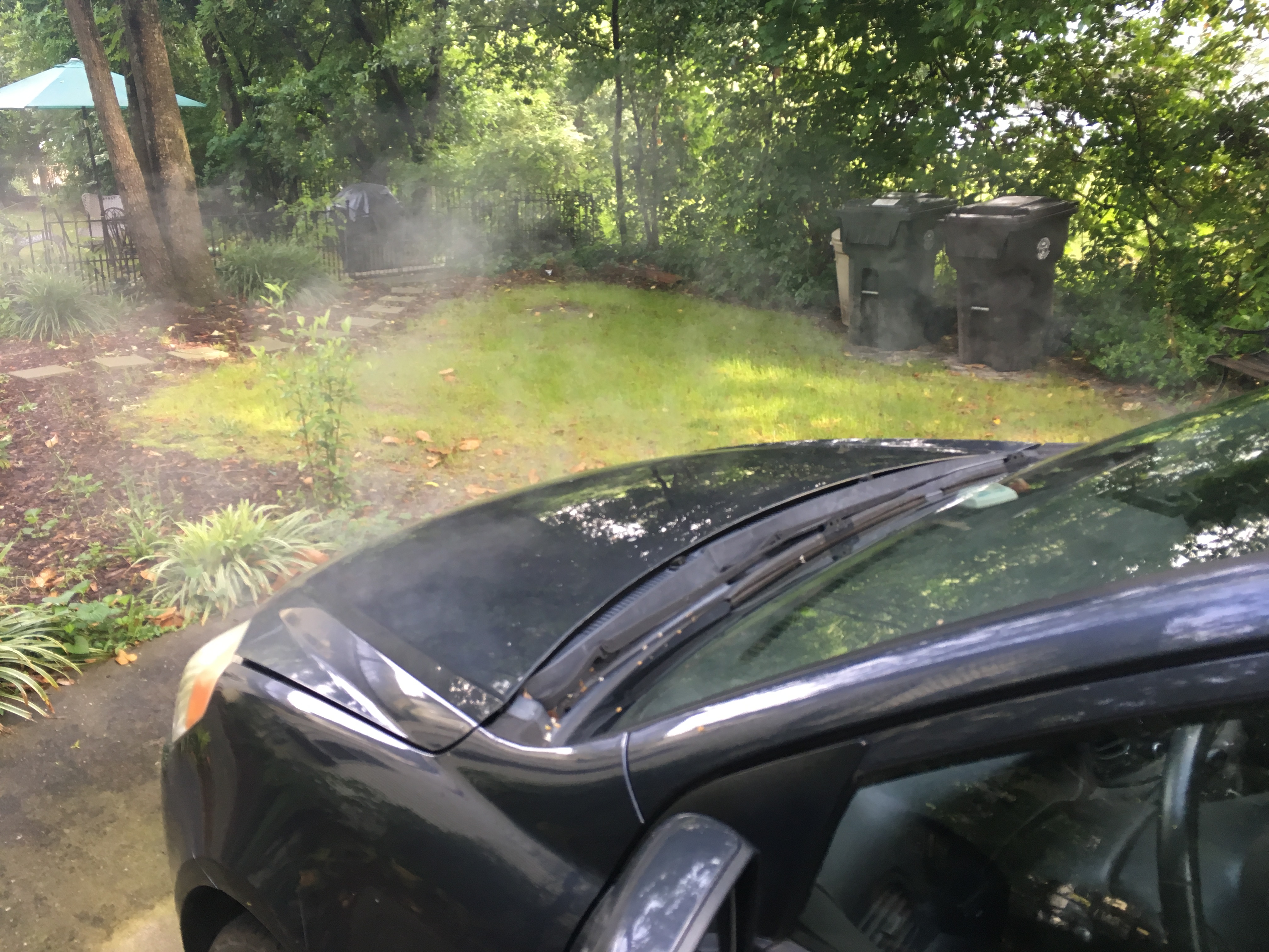
A few days before leaving, somewhere on the second hole at Legacy Golf Links Isabel called.
“So just to confirm, you do not want to live in Boston next year?” She asked.
“Yeah. Anywhere south of the 40th parallel though and I’m in.” I responded.
“Okay cool. I’m on the Roomi app and just found two awesome girls living in Cambridge and their third is moving out at the end of August. Rent is $1350 and the place looks awesome!!!”
Indeed the pictures showed a newly renovated place, with white marble countertops and freshly painted walls. Certainly a major upgrade from either of our previous Cambridge apartments.
“That’s fantastic! This place looks stunning. Do you like the girls?” I said.
“Yeah! They seem really cool. One is from South Africa and the other is from Italy. We’re gonna chat on Sunday.”
A few holes later the conversation progressed to my living situation. We went through all the possibilities: Philly, DC, North Carolina, Houston, Denver, LA, Santa Barbara, and the Bay Area. After pros and cons for all of them, we whittled them down.
“I’d say my top three are Santa Barbara, SF, and Denver, in that order.”
“Do you have any friends to live with in any of those places?” Isabel asked.
“None in Santa Barbara. Acorn is in Oakland, but we know that would be a disaster. David will be in Palo Alto, but I think he’s gonna live in the dorm. Then there is Madison, Charlotte, Sadie, and my friend from the Tufts golf team in Denver.” After a pause, I resumed “it's probably not a good idea to try and live in a new place where I don't have friends during a pandemic. It’ll be impossible to meet people.”
“Yeah, definitely not! It would be so lonely.” Isabel responded. “So I guess Denver it is!”
After a few texts to those Denver friends about potentially all living together were responded to favorably, a plan was in place. I’d be moving to Denver come September.
The rest of the summer proceeded with conservative fun. With our friends in Boston, we formed a little pod, did our best to stay self-contained, and managed what fun we could. We played tennis, spikeball, hunnyball, croquet, had family-style dinners, and rented a house in Vermont for two weeks. It was positively fantastic to be hanging out with my best buds again after four months apart. June and July flew by, and soon enough it was time to road trip to Denver. Iz would accompany me, and we’d make a month of it, by spending a week in Denver, heading into the Colorado mountains for two weeks, and then joining my parents in Bozeman for a week, before moving into my new Denver apartment on September 1st.
Narnia
This was to be Isabel’s first big road trip. Previously she had maxed out at 13 hours, whereas this was 30 to Denver and then multiple 5-7 hour days. Cognizant of the Elliotts’ minimalism when it comes to stops, she made sure to negotiate terms before she agreed to a month on the road.
Isabel: “Pee breaks every hour, and I get to choose the audiobook!” Owen: “Iz it’s 30 hours! We’ll already be stopping every four hours for gas, so what about you get one additional stop per fill up?” Isabel: “FINE. But we better get some awesome car snacks!” Owen: “For sure! We can go to Costco beforehand. Also, I was thinking we should have a book that we listen to when we’re both awake and then one each for when the other one’s sleeping. Whattya think?” Isabel: “Oooooh, good thinking.”
Not too hard, plus we could waste the stops, we were in no big hurry. We’d take Friday off and drive three 10 hour days, according us plenty of time for pee breaks and sightseeing.
In the week leading up to our departure, the packing was feverish. Not only did I have shit strewn all over Boston, but Iz was moving apartments September 1 so we did our best to make the move easy for when she got back. Still, we found time to clear Costco out of car snacks, make mini quiches, hard-boiled eggs with everything seasoning, and peanut butter-granola-apple sandwiches.
Now, back on the road again, for my fifth cross country drive in 10 months. Boston to Pittsburgh through the leafy confines of the northeast and the rolling mountains surrounding Happy Valley PA. It was a delightful stretch as the car snacks were plentiful and the excitement of adventure was fresh. In Pittsburgh, we headed straight to Lawrenceville, the coolest neighborhood in the country according to Lonely Planet. Covid19 was very much present as most places were either closed or takeout only, but it was nice to stretch our legs and the kebabs we had for dinner were absolutely delicious.
In the morning we headed across the river to the neighborhood of Mt. Washington for breakfast and a panoramic view of the city. Originally named Coal Hill, it was once deemed the most valuable mineral deposit in North America. Towering 600 feet above the city it provided an excellent vantage point to admire the beauty of the city’s three rivers converging and the steep hillsides framing the city. It certainly contributed to my omelet with rye toast tasting extra yummy.
From there we headed to The Palace of Gold in West Virginia. An opulent gold palace in the middle of the rolling hills of West Virginia, it was originally designed by Hare Krishna supporters in the area as a home for their leader Prabhupada. Unfortunately, he passed away before it could be completed so midway through construction they expanded their plans and created a temple replete with gold leaf, inlaid rock, and stained glass as a way to honor him. Kitananda Swami, the leader of the community, said of construction, “In the beginning we didn’t even know how to lay blocks. As our Krishna consciousness developed, our building skills developed, then our creativity developed, and the scope of the project developed.” Rank amateurs, each learned what skills he or she could, and contributed their labors to whatever the current need was; Some mixed cement, others learned to cut stones, and others painted frescoes on the ceilings. Over years their skills developed, and although their amateurism can be detected in places if searched for, the Palace is magnificent. In a review, the Washington Post said, “Almost heaven. It’s hard to believe that Prabhupada's Palace is in West Virginia. In fact it's hard to believe it’s on this planet.” Isabel and I are far from religious but nevertheless, it was positively inspiring walking the grounds and thinking people starting with our skill level were able to create something like this on their own. It was undoubtedly hard work, but it was a wonderful reminder of how much is possible when you give it a go.
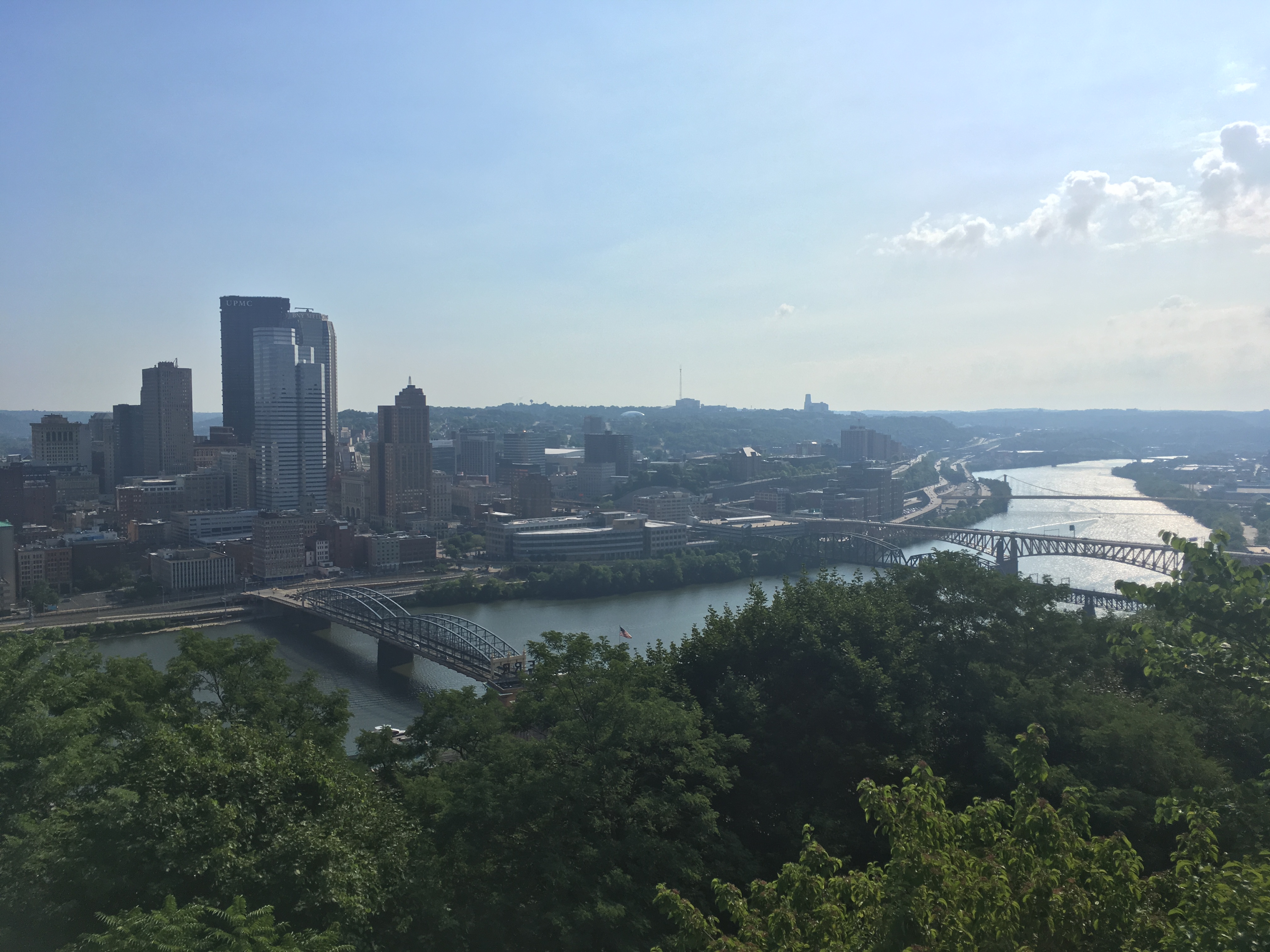
Short stops but they added color to our days and made driving feel like a vacation rather than a slog. Now it was noon though, and we had nine hours to St. Louis. I hadn’t slept great the night before so Iz took the wheel and I took the pillow. When I awoke a few hours later Norm wasn’t sounding great. As I leaned over to peer at the dash pure dread poured over my face; the check engine light had returned. 3 months of driving since North Carolina, 4,000 miles, not a single peep, but NOW, in the middle of another goddam cross-county drive there was a problem? We pulled off the highway and as we came to a stop Norm started shaking and the oil light flashed. I got into the driver's seat and we made our way to the only mechanic still open at 3:30 pm on a Saturday.
“I’m sorry that’s gonna take longer than 30 minutes and we close at 4 which is in 29 minutes. We can take a look first thing on Monday though!” The only open mechanic said.
With professional help unavailable I did my best fix-it man impression and poured in some extra oil I had in the car hoping the flashing oil light might be the cause of the check engine light. Unscrewing the cap atop the engine my unsteady hand managed to get 90% in without a funnel. However, that 10%, according to Isabel’s research, was liable to catch fire if hot enough. This is where our adventure truly began.
I felt bad. I wanted an according to plan, enjoyable trip to indoctrinate Isabel to the joys of the road. Now we were at an Autozone reading error codes and trying to unscrew the engine cover in order to mop up the excess oil, in a totally random place in Ohio at 5 pm on a Saturday. Due to Covid19, employees were not allowed to provide assistance, but the tools were available to borrow if you knew what to do with them. Thus I found myself walking back and forth from the tool cart to the car trying every wrench trying to find one that would fix the screws on my engine cover. 3/8", 5/9”, 7/16”, 9mm, 11mm, nothing worked. 9 mm was too small, 11mm too big, and in the disorganization of the public tool cart the 10 mm was nowhere to be found. Using the code scanner was more successful, but provided even less hope. Most of the errors were P0304, misfire in the fourth cylinder, and P0300, random misfire. The same exact issues as before! I checked the coolant reservoir for bubbles, and the oil for milkiness, nothing, but maybe it was too new for those symptoms to reappear yet. On twelfth inspection of the tool cart, I found the 10mm wrench erroneously placed, which worked, and we used the activity of mopping up the engine as a distraction from the fact we were likely stuck in Ohio, 1,000 miles from Boston, and 1,500 from Denver, in the middle of a pandemic, with a still unfixed head gasket.
Norm had made it cross country on a blown head gasket before, so who's to say he might not manage the feat a second time. Thanking the men at Autozone we got back on the road hoping for the best. 30 miles later though, enough to get us out of any population center, the check engine light returned and misfires made sub-40 mph driving difficult. I asked Iz to get us to the nearest gas station, and she did one better, finding us a truck stop with a mechanic on duty.
I had never heard of such a thing, nor had I ever noticed the hangar-sized buildings next to some gas stations. They make sense though, trucks probably need servicing often while they zig-zag the country, and they can’t wait till Monday morning if they have perishables in the back. This particular stop did not appear busy though, as both lanes that went from one side of the hanger to the other were empty. Soon enough, a rotund man, sans front teeth and smoking a cigarette, came ambling over, with his tall good looking co-worker. They inquired as to what was the matter. “I’ve been having trouble with this car a bunch; had to get the head gasket repaired a few thousand miles ago, and now the check engine light is on again, error codes P0304 and P0300, same as before with the head gasket,” I said. They delved into the diagnosis, monitoring the stats of the transmission on their iPad, as we stood off to the side with our masks on. As usual, Norm was shy and took a few minutes before he let his guard down and started misfiring.
“Hmmm the numbers look pretty good, and the head gasket is fine [ unscrewing the cap and placing it upside down over the opening ]. If your head gasket was blown that cap would blow off. My best guess is it’s electrical. Some wire is nicked and it's not consistently delivering a spark,” the wider of the two said.
“So what do you think we should do? Can you fix it?” I asked.
“I would drive it down the road a few miles, pour some oil over the engine, throw a match on it, and tell the insurance company it was stolen,” the wider one said in all seriousness.
“We’ve already spilled oil on the engine, so step one compete,” I joked.
“I’m going to pretend I didn't hear that,” the taller one said, mentioning he was a local volunteer firefighter.
“So you think finding the faulty wire is hopeless?” I asked, returning to the trouble at hand.
“Maybe it would be easy, but there was a truck in here recently for three weeks and $5000, checked every wire in the whole thing, and still we couldn’t find it. So it’s a bit like finding a needle in a haystack,” the wider man recounted.
“Damn! It's strange, I’ve only really experienced the issue on long 500 mile days,” I mused.
“Yeah, that makes sense. The wire itself has a bunch of coils, and when they get hot, they expand, potentially reducing their spark.”
“Well I guess we’re buying a new car,” I said, turning to Iz.
“Car sales aren't allowed on Sunday in Ohio, Illinois, Missouri, for some dumb reason,” the tall man piped up.
“Yeah I don’t think Kansas allows them either,” added the first, giving off a puff of smoke.
Pulling out, absolutely shook, I turned to Iz and offered, “maybe we should try letting the engine cool down and see if that helps things.”
That idea resulted in us pulling over in a gravel parking lot abutting a cornfield a few miles down the road from the truck stop. We got out and set up dinner, but it was the saddest picnic I hope to ever experience. My Mets blanket made for a good enough ground cover and there was still some color at the horizon, but all our good car snacks were gone, all that was left were a couple of cold soggy mini quiches, mosquitoes were upon us instantly, oh and Norm was a hunk of junk with an intractable wiring problem. No car sales on Sunday, we had to work on Monday, and all of our stuff was in the car so it wasn’t as if we could just say to heck with it and hop on a plane. Oh and the pandemic. After half an hour with mosquitoes eating us, Isabel said “I think we should just drive and try to make it to St. Louis. Maybe we can get a Uhaul there.”
Yes madam. Pushing Norman through the misfires we arrived at our $78 Priceline hotel in downtown St. Louis. It was a Hilton, across the street from the St. Louis Arch, near Busch Stadium, and it was absolute mayhem outside. At least 100 people were milling about the entrance, dressed to the nines, drunk as they liked, with no masks in sight. It was an absolute culture shock for two people who had seen little more than their pods in five months. Horse-drawn carriages like those in Central Park were circling the block, traffic was whizzing by, and everyone was screaming. “Your panties are showing!!” A drunk woman cackled at Isabel when her dress flew up in the wind as she pulled her bag from the back of the car. Upstairs, the room was beautiful, with a clear view of the Arch, a shimmering curve that told us the West beckoned.
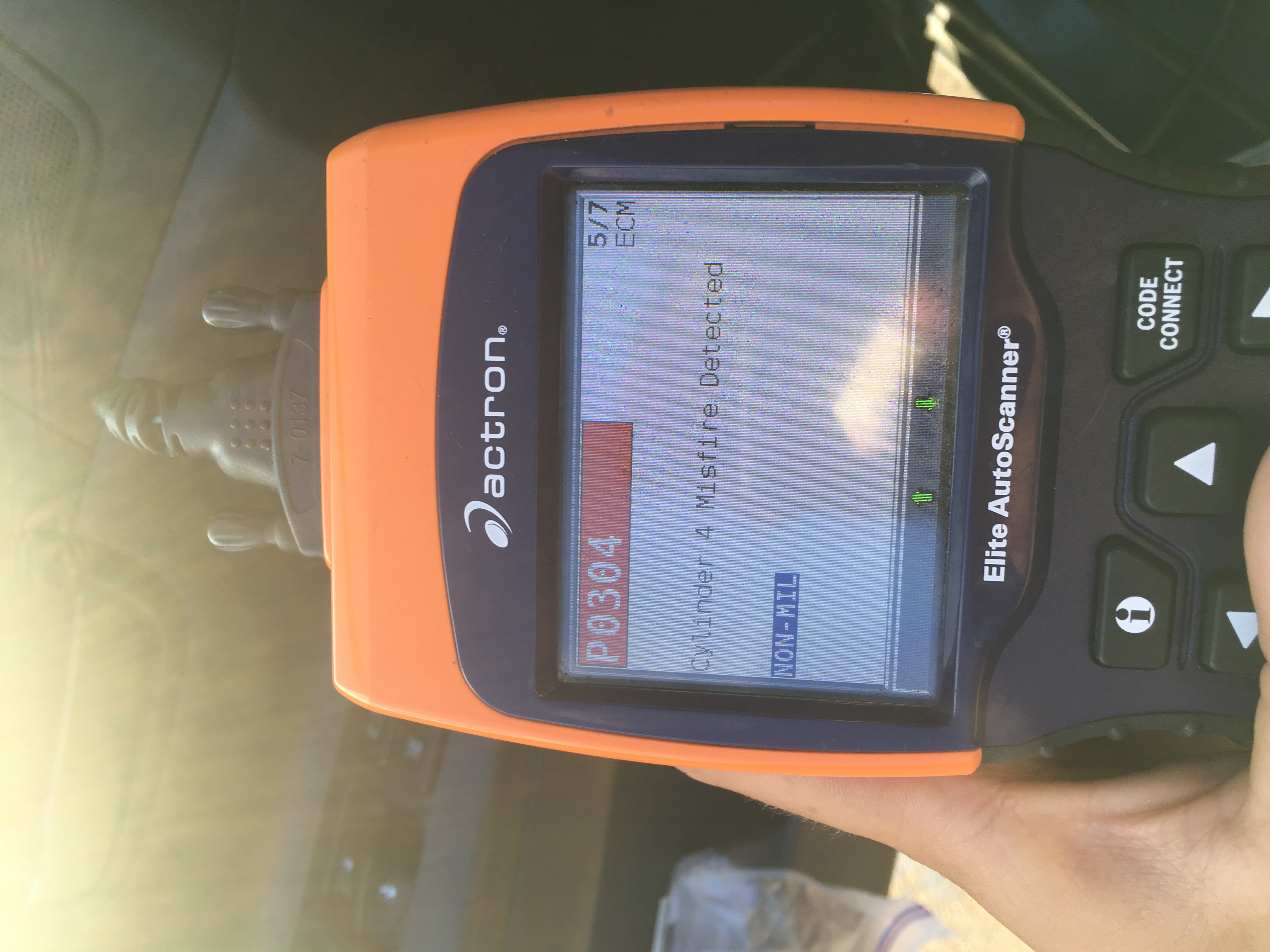
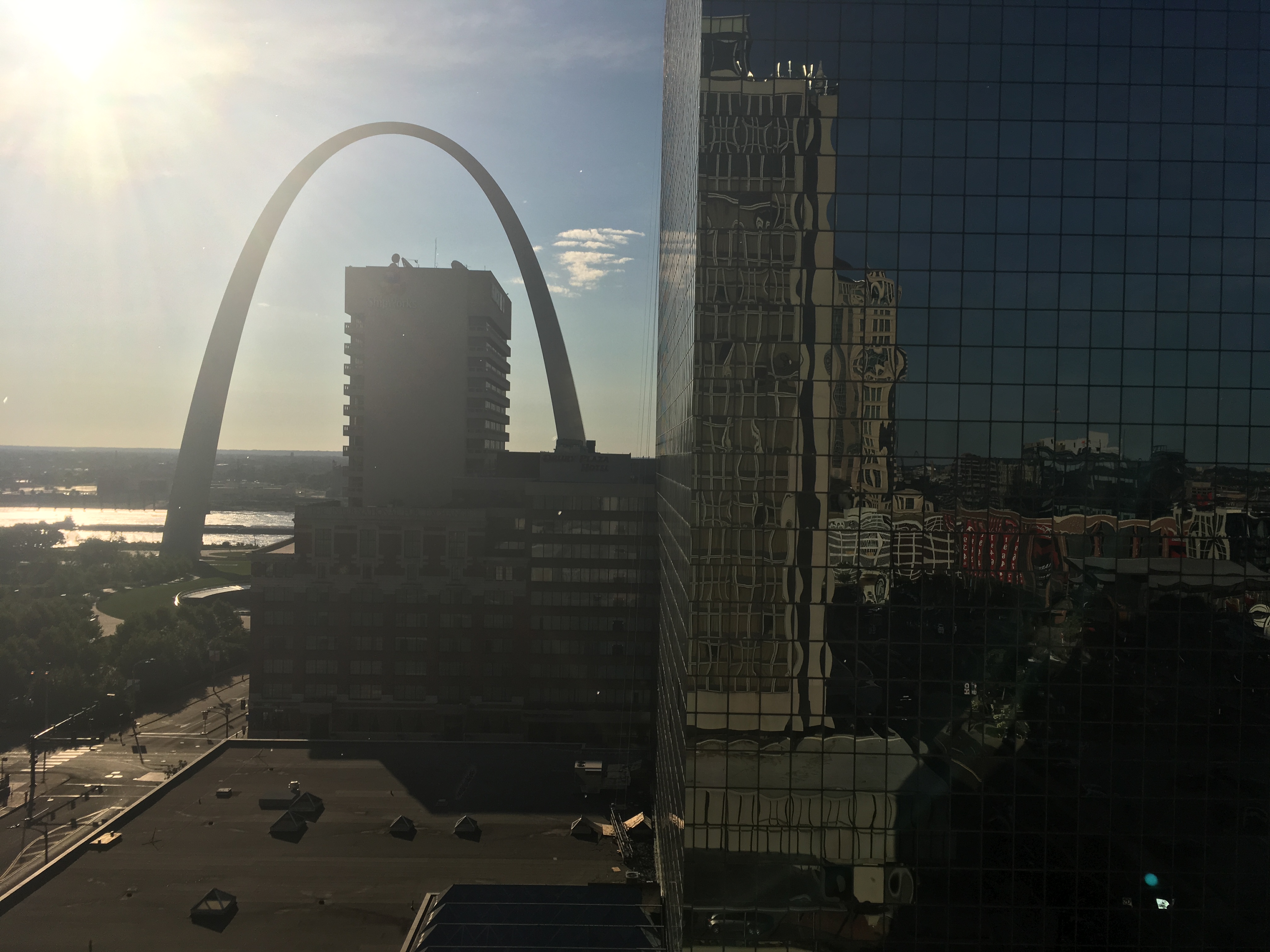
In the morning Iz and I agreed, we were getting rid of Norman anyway, so let's push him as far as he will make it, call AAA, and get towed to one of the many many many U Haul locations along the route. Pulling past the Arch Norman was misfiring like crazy putting to bed the cold engine theory. Once on the interstates though misfires would only happen every once in a while. The bigger issue was that Norm was STRUGGLING up hills. I would take advantage of the downhills, getting up near 90mph, and use that momentum to carry us up the hills. Still, we were lucky if we crested the far hill going any more than 60mph. It was terrible driving, passing people one moment only for them to cruise past us the next, but it was the situation we were in. Overdrive would kick in at the slightest struggle and shoot the RPMs up to 5,000 yet provide us with little extra oomph. Still though, we were racking up the miles. Optional pee breaks had been suspended out of necessity, only making stops every 300 miles when the tank needed a fill-up. Columbia Missouri, Kansas City Not-Kansas, Topeka Kansas, we were making progress. The rolling hills of eastern Kansas were buoying our spirits as well. “I don't know why everyone shits on Kansas, it’s like the most beautiful state we’ve been in,” Isabel remarked.
Around the middle of Kansas, a storm out of a Greek epic arrived on the horizon. We were bathed in sunlight but up ahead the sky was so thick it looked teal-colored. Soon the wind started shoving the car around and huge grey cumulus clouds materialized on our flanks. We got off the phone with my sister so we could have our full attention. In a moment the only thing we could see were grey sheets of water whipping across at a 45-degree angle. We slowed and Norman started bucking with misfires. Looking to the side we saw everyone was parked on the shoulder, not a single looney was attempting to drive in this. A sensible idea, we found a spot in the line and gazed out in amazement at the windshield. “Is the car going to tip?!” Iz wondered aloud, as 60 mph gusts buffeted the side of the car. A classics major, Iz joked that it was Zeus ripping across the plains in search of Hera’s hidden lover.
Abatement came 15 minutes later, and semi-clear skies returned a couple of miles onward. Over the next 100 miles we were caught up in two similar, if slightly less severe, storms. We could see a bunch of similar columns of rain out on the horizon, out to terrorize motor vehicles for the sheer fun of it. It was kinda fun for us though as it gave us what felt like a true Kansas experience, and made the storm that blew Dorthy away feel more plausible.
Pulling out of the third and final storm a truly horrible sound started emanating from under the hood. It was a screeching noise like that of a loose belt, followed by a chhhh sound like a stove being ground to bits over a cheese grater. Isabel likened it to the sound the egg made when opened in Harry Potter and the Goblet of Fire. The steering also froze up a little when it was chhhhhing, which made me think it might be caused by or affecting the power steering belt. Either way, we had to pull over, the sound was too ear-splitting.
We eeked our way off I-70 and into a bustling rest stop. “We are 256 miles to Denver, AAA Gold can take us 100 miles, and then maybe Sadie can pick us up from there?” Iz offered.
“Oh shiiiit. It's 5:20 and all the Uhauls close at 5 on Sunday,” I said, trying to track down my own solution. Norm had lasted too long and also not long enough.
“Oh wow, my mom says the AAA membership literally expired yesterday. She’s gonna call and see if they can renew,” Iz said, putting both our plans to bed.
Iz went to the bathroom and I got out to walk around and ponder the driving gods. We were so close yet so impossibly far. We could beg friends to come and pick us up, but it was probably a 7 hour round trip drive and the clock already read 5:30.
Just because we had been to the truck stop the day before I recognized the hangar-sized building with Firestone over the door, and thought they might just be open this time on a Sunday. Walking over I put on my mask and inquired if there was anyone who might be available to talk to about the chhhhh sound. “No promises I can help, since we only do trucks, but if you pull it around we can have a look.” Another grease-covered but extremely helpful and knowledgeable man came around to take a peek under the hood. First, he tackled the screeching by tightening a few belts and spaying a hell of a lot WD-40 over the whole area. “Would you like me to take a look at the error codes too?” He asked.
“Uhhh sure.” Iz and I said, even though we were both thinking to ourselves don't bother, we know the car is shot, no need to waste your time.
Some new error codes had accumulated in the past 800 miles though, and one pointed to a potential issue with the fuel injector on the fourth cylinder. Squeezing his fingers over the cover he inspected the injectors connection. “Oh yeah, it looks like the injector wasn’t fully connected. There ya go, it is connected now.” He said. Iz and I turned to each utter disbelief in our eyes, hoping beyond hope. Plugging in a monitor to the ECM, he said all the stats looked good, no more misfires. “Well that was an easy fix,” he said after a total of 12 minutes of work. “Have a nice trip!” Iz and I were in shock but did not want to get ahead of ourselves before we drove a bit. No way could it have so happened that it was just an unplugged fuel injector. The symptoms were the exact same as those which had been present with the blown head gasket, the error codes were the same too.
Norm felt great driving now though, cruising uphill at 80mph with ease, and purring beautifully at low speeds. “I can’t believe it,” I said, turning towards Iz, more relief coming over me than I’ve ever felt before. “That was truly the 11th hour, 59th minute, 59th second. We would not have gone to the mechanic tomorrow. I would have just sold Norm for $500 as a trade-in and gotten a new car. Norman actually saved himself. At the last minute, he saved himself. If it wasn’t for that sound, for THAT RAINSTORM, we would not have pulled over. And it needed to be those mechanics. Norm literally waited until the perfect moment, and then forced us to stop.”
We put on the album of the week, Taylor Swift’s new album folklore, and cruised through the golden flats into Denver just as the sun was setting over the Rockies.
“It feels just like a common fantasy trope. Like the Chronicles of Narnia, where the kids walk out of the wardrobe after this grand adventure where they defeat the evil queen, and nothing has changed. Their mom is still calling them for dinner. Like we are not even late, it's 8 pm, we are arriving exactly when we said we would.” Iz said, perfectly summing up the feeling of the moment. The roller coaster of emotions of the past 48 hours felt imagined as we rolled into a picturesque Denver with a working car and no proof of our harrowing journey.
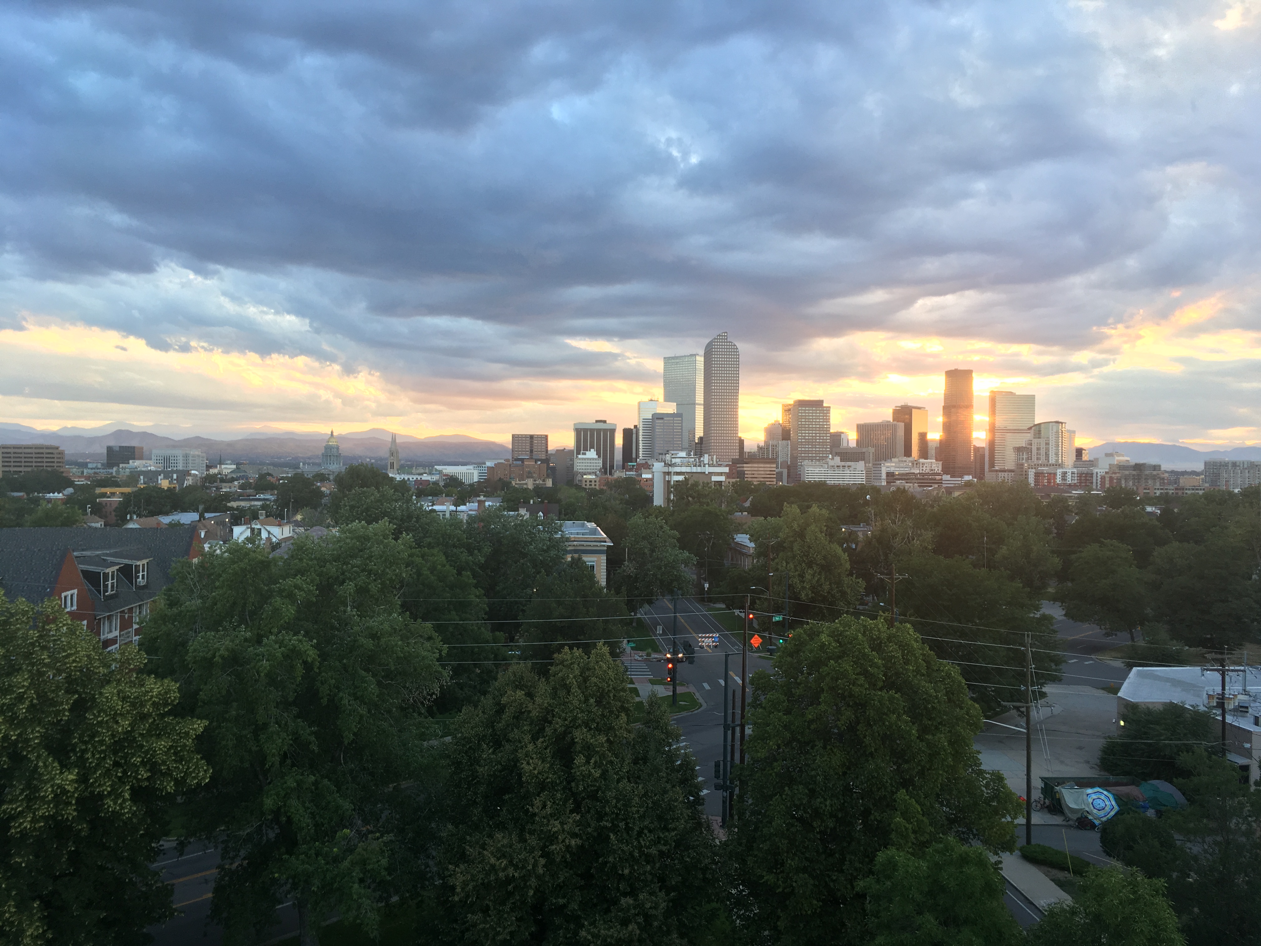
Fin
There is a pull emanating from the top of a mountain. Perhaps it is the views, or the sense of accomplishment, either way, it is hard to avoid its gravity. Back to back days Iz and I went for easy after-work hikes, only to audible midway through allured by the sirens up high. The first was at Red Mountain Pass where we got out of the car in search of eight old abandoned mining towns between Ouray and Silverton in southwest Colorado. A little less than a mile into our search up an old ATV road we met two hikers coming down who instructed us Black Bear Pass was a couple of miles yonder if we could make it. We took them up on their recommendation and pushed ourselves through the altitude and lack of water ( we'd purposely left one bottle in the car because this was supposed to be a quick jaunt ) up to 12,800 feet and the crest of Black Bear Pass. As they said, we were handsomely rewarded. To one side were the mountains surrounding Telluride, snow still in the hallows and alpine lakes forming from the runoff. On the other side were views of the three types of mountains this land had to offer, orangish-red peaks which Isabel said had been colored by the sacrifice of 1000 young lambs, peaks covered in green alpine meadow, and stark grey moon-like peaks of volcanic rock. All three types were at the same height standing side by side, creating excellent variety to gaze at.
The next day history repeated itself when we planned to stroll the perimeter trail of Ouray. It was around 6 miles but relatively flat with phenomenal views of Ouray, The Switzerland of the States. Yet at the first trailhead, Isabel saw Twin Peaks 2.4 miles ahead and could not resist. I was dragging a bit, sore from the day before, but she was a woman on a mission. Even after we had walked a couple of miles, and the next trail marker inexplicably said 2.2 miles to the peak, she was undeterred. Our watches were saying turn around, sunset would arrive near, but Isabel had the peak in her mind. Climbing at a 20 percent grade for what felt like forever I dragged myself up in her dust. At 7 pm we crested with an incredible golden light setting the red rocks above Ouray ablaze. Back down took us until 9 pm and had us peering through true darkness to find the car. In total it had been 9.6 miles with 2,567 feet of elevation gain.
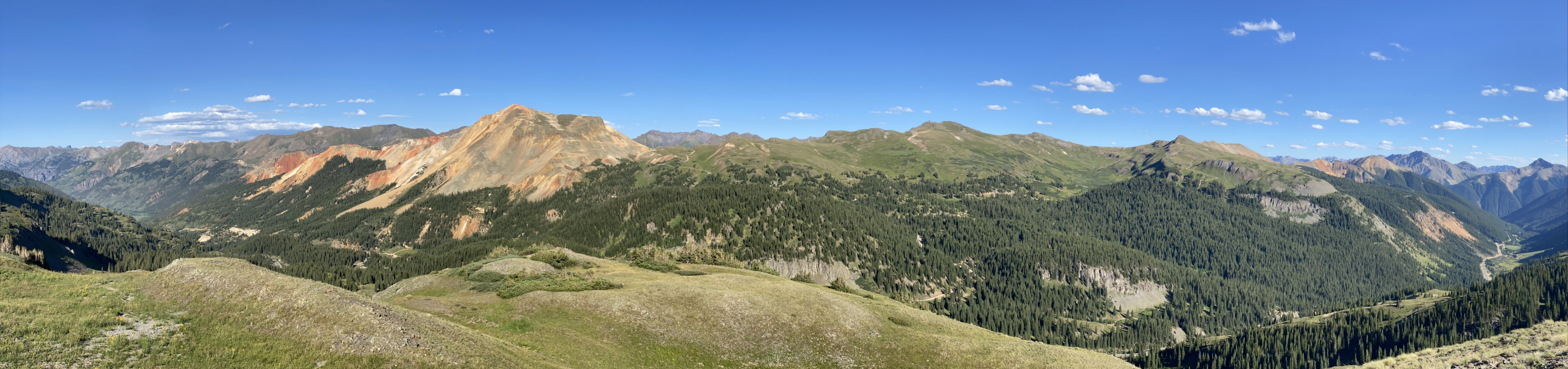
Our alarm went off at 7:45 but we woke up slowly and very sore. Personally, I hadn’t been hit by a truck quite so hard in a long time. For 45 minutes I stayed in bed wishing I could stay there all day. By 9 am though we managed to get ourselves vertical and on the road to Telluride to go mountain biking.
The town was adorable in a very touristy way, with tons of fun shops to poke your head in and have a look around. It was also packed. On our third try, we finally managed to find availability and rent two mountain bikes from Easy Rider. The bike shop owner was a scruffy 50-year-old with a drooping orange mask and an easygoing Mathew Magonehey vibe. He sent us off with the advice to take it slow, work our way up to the bike park, and about 10 times mentioned these were one-finger breaks, presumably indicating that they were good.
Up on the gondola, we soared out of town and up over a ridge to the ski mountain. As with all of these ski mountains, Telluride tries its hand at other activities in order to attract guests in the offseason. For mountain bikers, they had cross country trails across the whole mountain and one chair lift operating to take bikers up to the “park” which was a series of groomed and banked downhill mountain biking trails. As the cross country trails were said to be a bit more approachable, we started there with The Boulevard trail. Gentle and downwardly sloping it was excellent for getting used to the gears and trying out that one finger breaking. The issue was it was predominantly downhill and took us out into the far reaches of the resort, resulting in a long climb back up. In our sore and feeble state, the uphill broke us and convinced us the park, with its chair lift, was calling our name.
Tommy Knocker, the only green trail in the park suited us beautifully. A looping 5.8 miles trail through the trees, it had a beautiful rhythm to it, often following a steep downhill with a rise, resulting in stretches where no braking or pedaling was needed. Only the occasional steeply banked curve gave us pause. In fact, towards the end we were feeling so good that we freed up on the breaks and caught some air time.
On the chairlift on the way back up we agreed another round on Tommy Knocker would do us well. We wanted to be able to take the curves smoothly before advancing and we pulled up a youtube video on proper technique while being carried upwards. The video talked about the need to shift your hips around to balance the tilt of the bike and to predominantly use your front brakes, not the back, which our easy-going bike shop owner had also mentioned. These ideas fresh in our minds we tried applying them on the trail to little success. We’d been so in the joy of the moment on the first run, letting our natural biking instinct guide us, now though we were thinking and clumsy. A small spill and a couple of close calls ensued. The flatter parts were good though and on a fairly open downhill section I tried for some air and succeeded, but my left foot slipped off and the pedal smacked into my shin hard on landing. Stinging like only a shin can, I pulled over to take a pause.
CRASH! 30 yards behind Isabel used two fingers on the front brakes, flew over the handlebars, and landed hard on her chin. Spinning around I could tell something was wrong. A very tough cookie she looked shaken and hurt as she tried to peel herself off the ground. I rushed back and helped her off the path. Both her hands had big gouges taken out, her chin was bloody, and two of her teeth were chipped. I’d actually never seen hands so chewn up. It looked as if shrapnel had exploded into the base of her left hand, with many tiny chunks taken out.
After a series of successful seat of the pants, happy-go-lucky adventures we’d finally gotten stung by our amateurism. A simple case of beginners bad luck? An easy mistake of two-finger braking as Iz hypothesized? Or the eventual byproduct of a dangerous sport delivered early? Either way, our bill had come due and it was a damn shame that Iz paid the full amount. Iz was now hurting and I was hurting for her.
From there, as it always is when you get yourself in trouble, it was a long slog home. We tumbled ourselves down the mountain, me trying to guide both bikes simultaneously, for a tortuous three miles back to the gondola. From there we got Iz fixed up the best we could, returned the bikes, got takeout dinner, and drove the hour back to our Airbnb. A grizzly and her cub sighting on Route 52 one-third of the way back was all that kept the afternoon from being a total bummer.
Our most anticipated hike of the trip, the Ice Lakes Trail, was on the books the next day, so Isabel did her best to rally. Twelve hours of sleep and 10 bandages later she was out the door with her hiking boots on. It was a 7.9 miler and the first crowded trailhead we’d experienced on the trip. This was to be expected though, as Ice Lakes is a top 100 day hike in America, according to my favorite website BigRoads.com. Pulling off-trail and taking breathers as others passed was a-okay in our books though, as our bodies were telling us we’d had an active week. At around the 1.5-mile mark, my bowels started lurching and I joked about the unfortunate hikers getting crop dusted behind us. Not .1 miles later I turned to Iz, handed her my pack, and darted right uphill. It was a poor choice as it was sparsely covered and the increased elevation meant passersby could easily see me. Audibling I darted left, downhill. I was waddling at this point, clenching my buttcheeks tight, but a couple dressed in red on an outcrop 100 yards away was still in view, so I had to keep moving. By the time I made it to cover I had a baseball sitting in my boxers. Taking everything off except my shirt I flung my loaded grey boxers deep into the pines. Squatting down another baseball, yellow with the consistency of butter chicken, came sputtering out. I hadn’t shat my pants since I was 4 riding the bus back from my sister's soccer game. Now I was bottomless with yellow sludge lining my inner thighs looking out at a 12,000-foot mountain across the way.
I returned from the woods 15 minutes later both thumbs down, mustard-colored shit on my right forearm, and with no socks. The cleanup process had not gone well, such that now I had my fair share of douglas fir pine needles wedged between my butt cheeks. I thought of how we could go on, as we had salivated over this hike for so many weeks, but the damage was too great.
“Turning back already?” mused a kind Hispanic family we’d passed 10 minutes before.
All we could get out was an utterly defeated “yeah”.
A mountain underfoot is worth more than a wolf and a bear deep in the woods, at least from a tourist's perspective. Over the next two weeks, we were treated to visits at Grand Teton, Yellowstone, and Glacier National Parks.
Yellowstone was expected to be the crown jewel and a fitting end to my travels after the disappointment of the fall visit. However, both Isabel and I left feeling a bit deflated after our three days in Yellowstone. Day one consisted of a sunrise visit to the Grand Canyon of the Yellowstone, a yellow and white-walled gorge 600 feet deep carved by two majestic hundred-foot waterfalls. That was definitely a highlight, as the 39-degree temperatures and early light illuminated the mist wafting up from the falls. Next stop, God's laboratory, replete with geysers, mudpots, and prismatic lakes. All of which were caused by a hot spot in the earth’s crust located directly below Yellowstone. The hot spot, which is like a pipe of magma, heats snowmelt and rainwater miles underground and causes the water to bubble back up to the surface in creative ways. Hot springs are pools of hot water that are often very clear and brilliantly colored by thermophilic micro bacteria that are able to sustain life in such a hostile environment. Geysers are towers of water that shoot up into the air after water is boiled in a contained space underground and must find a way to release the pressure. Mudpots form when steam and sulfuric acid combine to melt ash or clay creating a bubbling grey cauldron like a witches brew. The final thermal feature is a steam vent which is just what it sounds like and is super cool in the cold tundra of winter but is nothing to look at in summer. We saw all of these and more in our loop around Yellowstone. The pools were super cool, looking like the greatest hot tubs ever, and seeing a geyser erupt was exhilarating, but the Great Prismatic Lake, a large multicolored hot spring that looks like an eye with clear blue waters in the center and vibrant orange on the edges, is really meant to be viewed from above. On the boardwalk, it was difficult to see many of the colors as we were at too acute an angle and the steam from the 400-degree water kept us from seeing much more than 5 feet in front of our shoes. Additionally, Mammoth Hot Springs, a terraced garden of travertine, formed by mineral-rich water dribbling downhill, looked cool in our photographs, but walking around its quarter mile plot, felt like walking around after the wreckage of a hot spot frat party. The entire area had at one time or another been part of the hot springs, but the active portion was maybe 15 percent of the area, leaving the rest greyish, crumbling, and unhospitable, like the surface of the moon. It was certainly interesting but gave me a bit of a depressed feeling like looking at an important ancient ruin that wasn’t properly being taken care of. ( That is certainly not the case, the hot springs just move about, creating new areas and vacating others )
The rest of our time in Yellowstone was spent up in the Lamar Valley, in search of wildlife. The grey wolves of Yellowstone had done much to inspire my travels so they were the top prize, but seeing Bison, Elk, Grizzlies, Pronghorn Sheep, Mountain Goats, and all the other North American mammals prosperous in their natural habitat was equally alluring. Yellowstone is home to over 200 mammals, the largest concentration of wildlife in the lower 48 so my imagination had the valley looking like the American Serengeti, with huge herds of Bison, Elk, and Pronghorn Sheep drinking by the river with Wolves and Mountain Lions stalking them from above. During our two days in the valley, Bison were present in the thousands, drifting this way and that across the road, but other signs of life were difficult to spot. A few small groups of pronghorn were spotted traipsing through the brush, and a dozen Elk were lounging near the exit as we returned to Bozeman, but other than that nothing. It was great to know the beasts of the Great Plains had a home in Yellowstone, but that did not make for a tourist’s delight.
The mountains and alpine lakes of the Tetons and Glacier provided a more reliable thrill to the human traveler. For sure Yellowstone had mountains, but not like the sheer cliffs of its neighbors. Rising straight up from the flat plains due to plate uplift, the Tetons are the most photogenic mountains I have seen, with no small hills blocking their beauty. Glacier meanwhile is a concerto of beauty that rises to greater and greater heights as one drives the going-to-the-sun road. Formed through the erosion of sedimentary rock, the mountains of Glacier have distinct horizontal lines that catch light in a very pleasing way. With numerous day hikes to alpine lakes, some crystal clear, some a cloudy turquoise, with mountain peaks towering above and snow still present in deep notches, it was not a fair fight, the mountain parks topped the intrigue of Yellowstone. To add insult to injury, we ran into a mamma grizzly and her two cubs eating berries in an alpine meadow in the Tetons, and in Glacier a mountain goat followed beside the trail for 200 feet, posing on multiple rock ledges for photos.
Is this an unsophisticated and budget opinion? Most likely. But the eruption of a geyser or the sighting of a grey wolf does not happen at the human timescale. There is a tremendous amount of waiting around, perhaps a few hours, weeks, or months, for a particular thing to happen. Personally, I do not have the patience to sit there, and I think such wonders are more appropriate for mediums like print or video where the event can be enjoyed without putting the viewer to sleep a few times in between. None of this is to say Yellowstone is not incredible and worth your time, the visuals of earth as a dynamic being are quite unique, it just did not live up to my much-hyped vision, or compare to the rarified and reliable beauty of its neighbors.
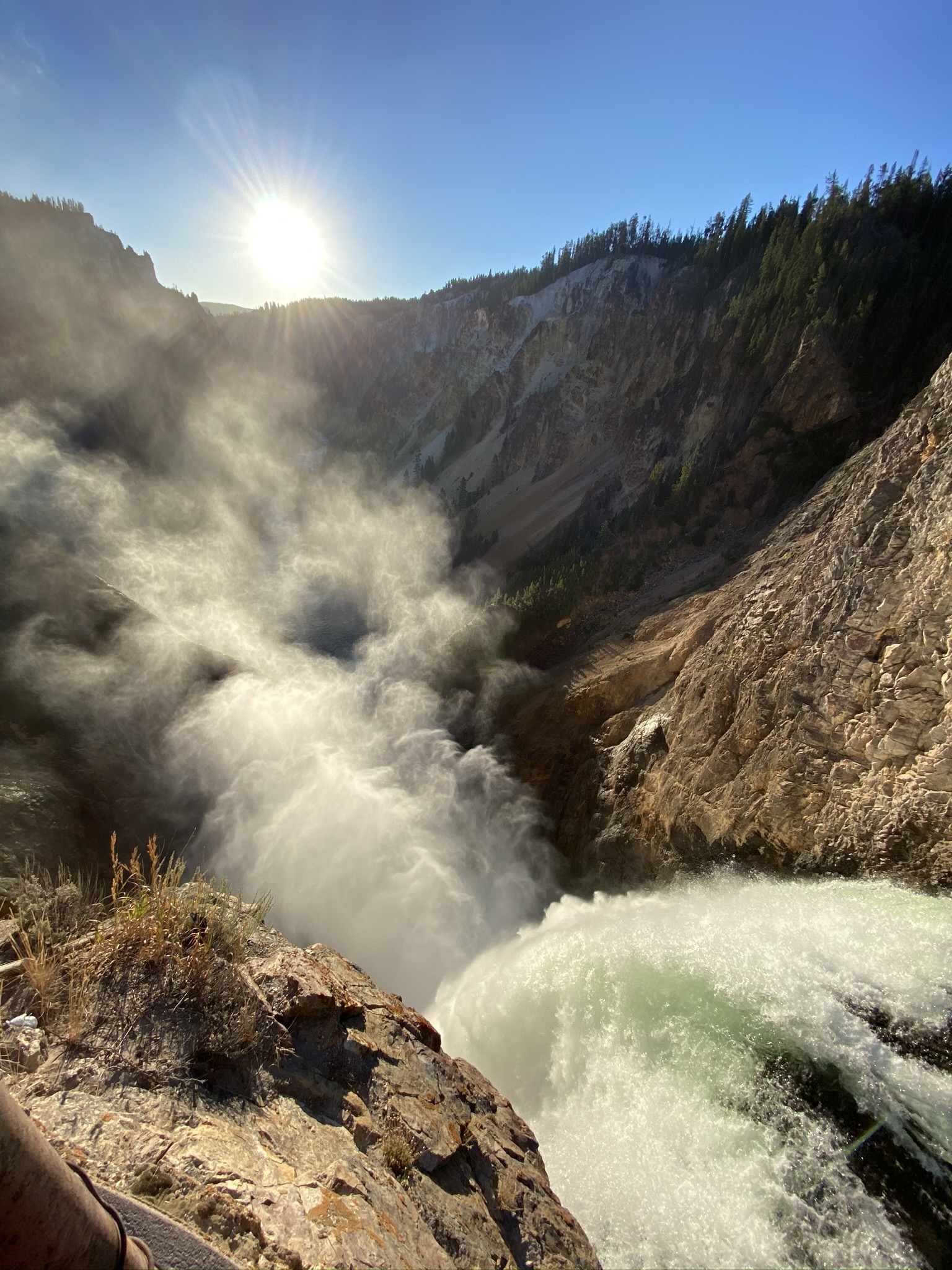
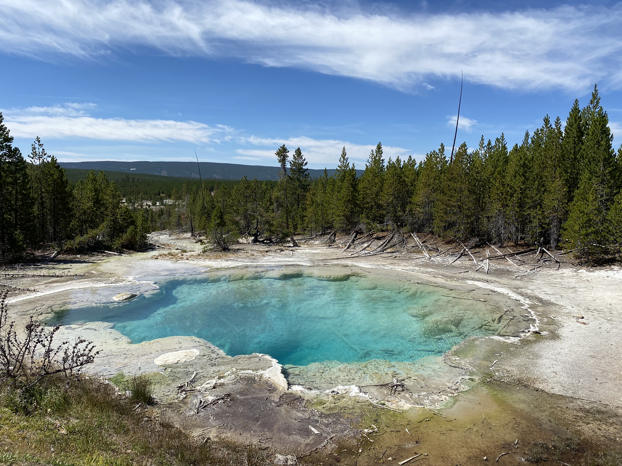
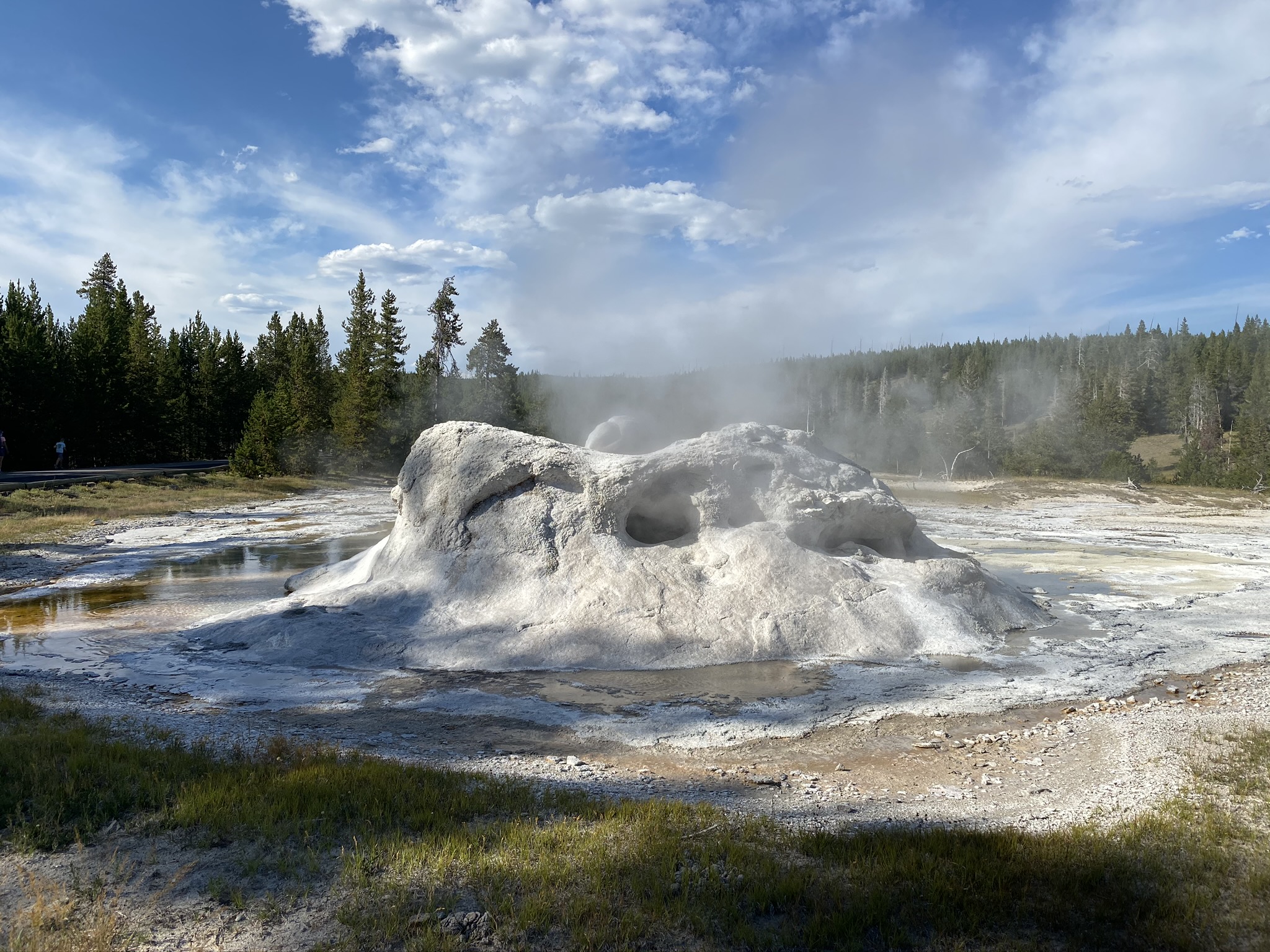
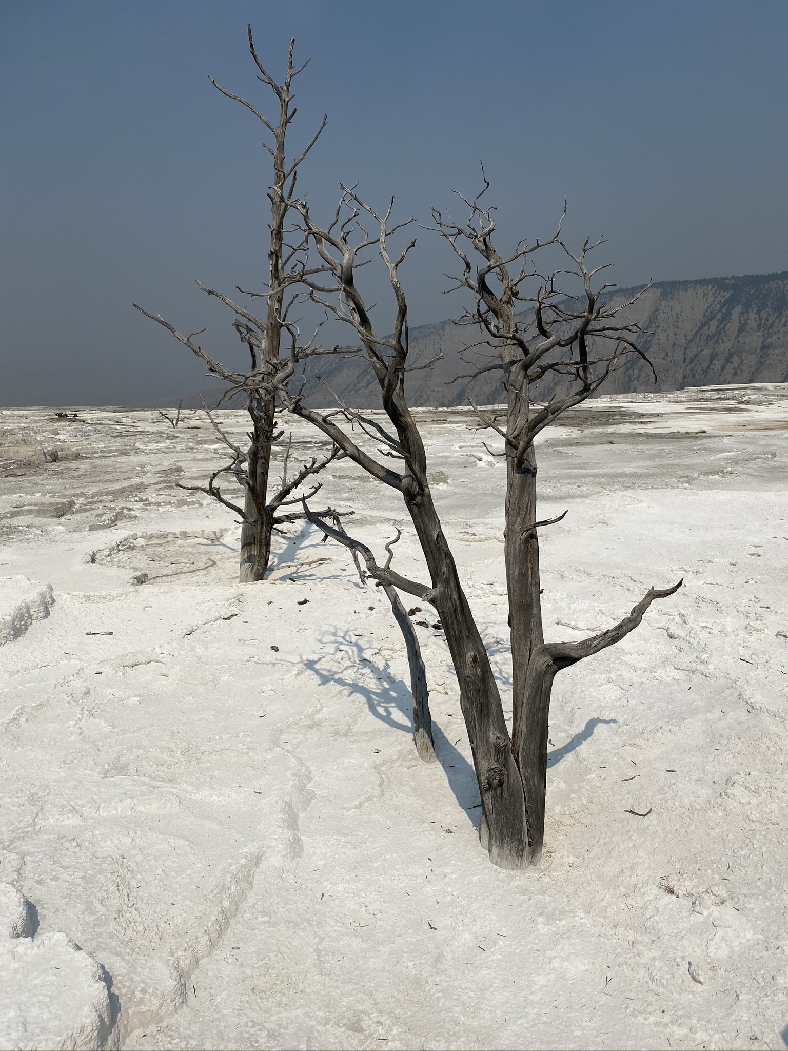
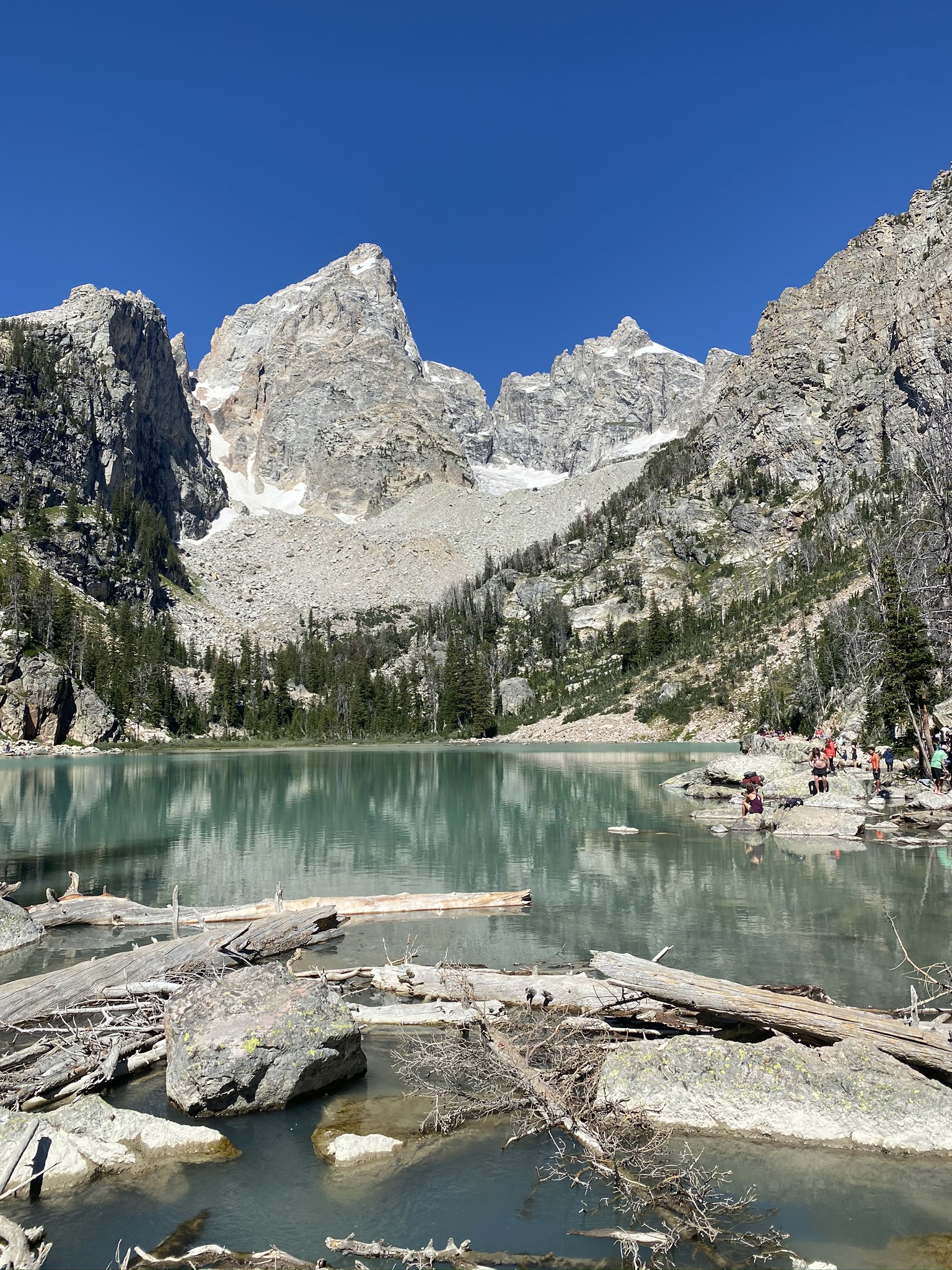
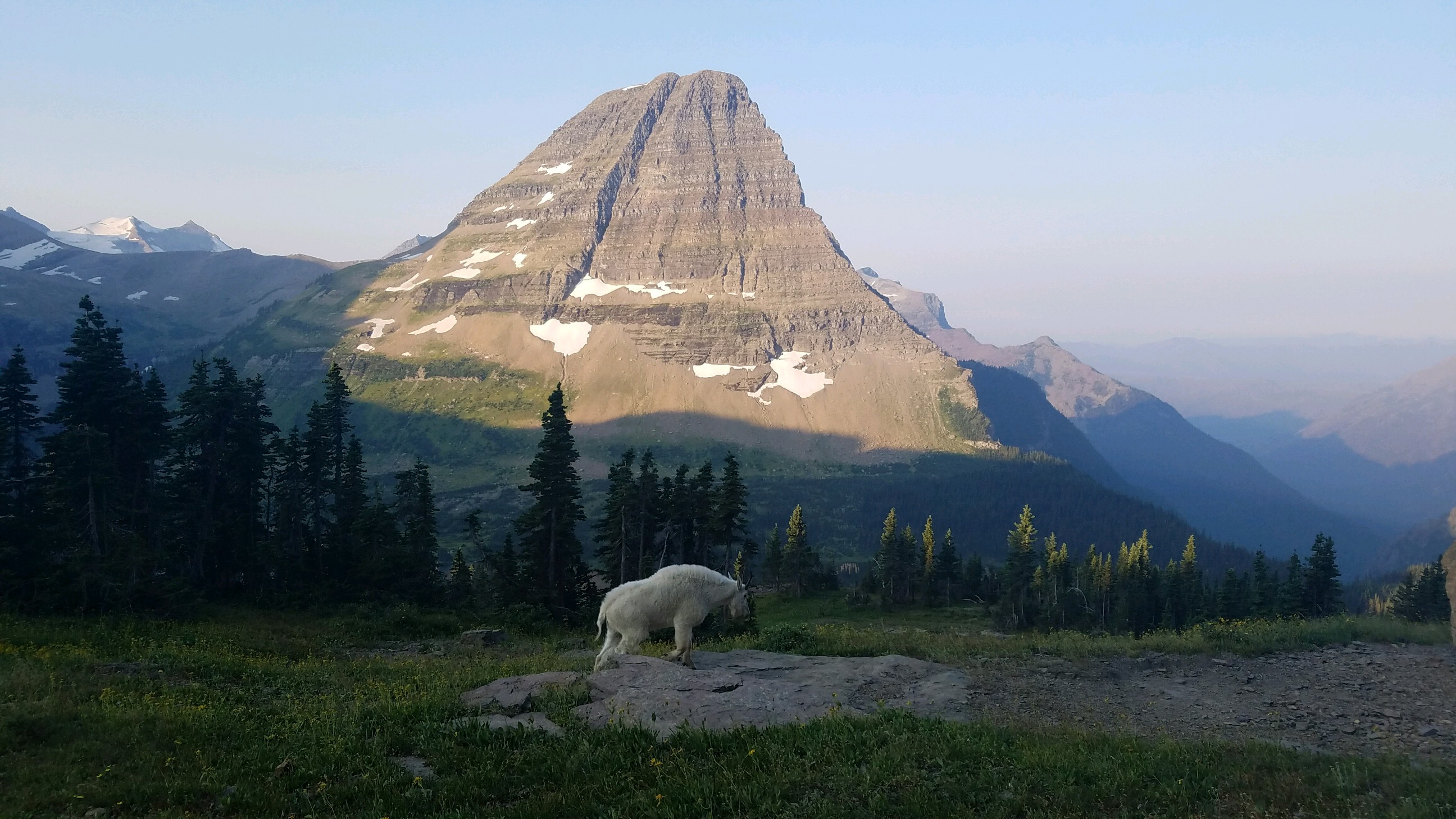
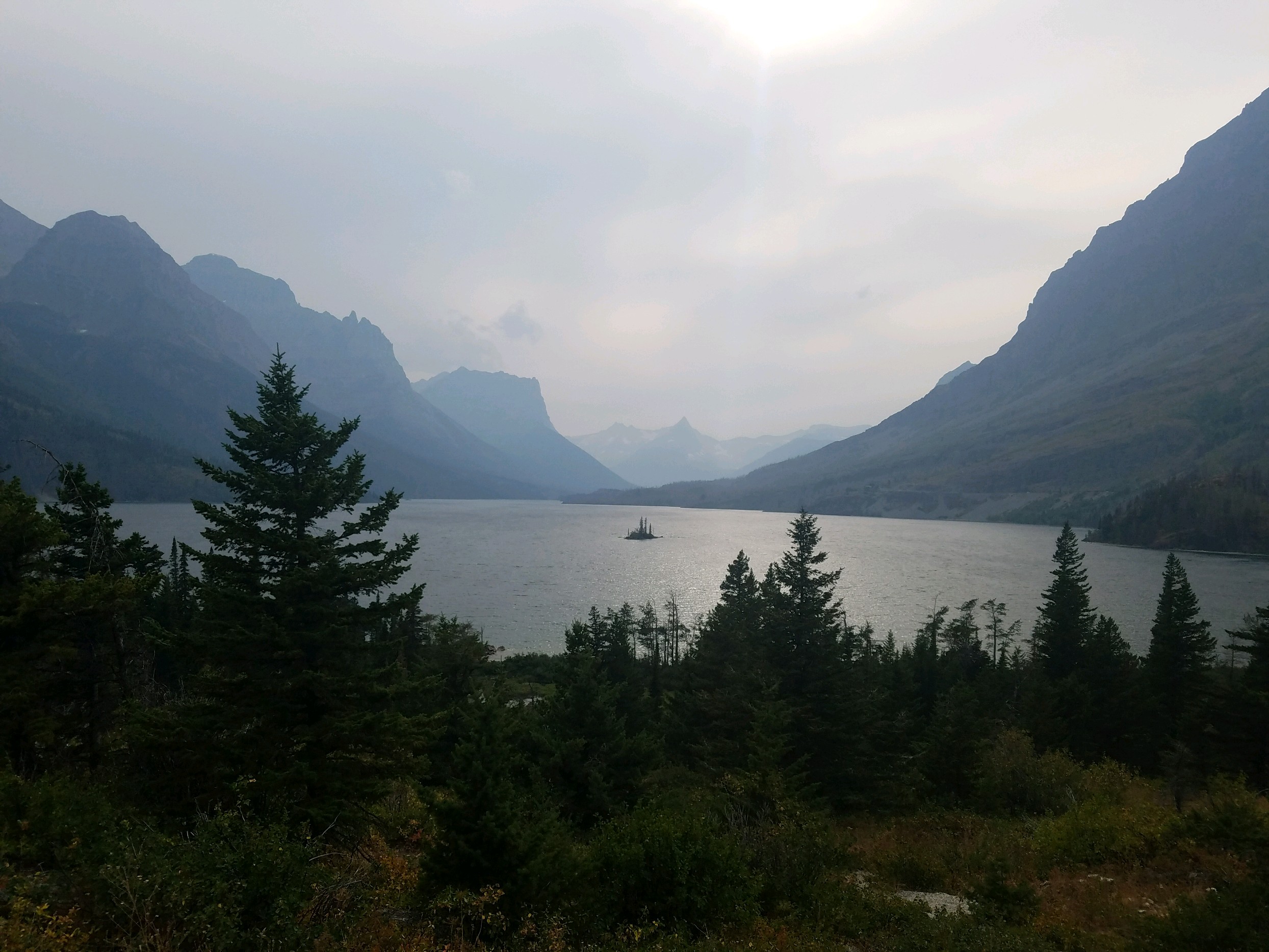
With that my year on the road was over, 11 months, 26,141 miles, 34 states, and 5 cross-country traversals. In many ways, this has been my homage to the American Ethos. Perhaps not the ethos of its future, but of its past. Its ethos is changing, becoming more urban and communal, which is where I am from, but on this trip, I saw the rest of America. The America of rugged individualism, open spaces, adventure, and I loved every minute of it. I got myself into many jams and grew out of the necessities they demanded. I slept under the stars, shat in the woods, and hibernated through a pandemic. Most of all though I gained perspective on the lives my fellow citizens lead. Where you are from, the landscape you see every day, the job opportunities that land affords plays such a huge role in how you view the world. Seeing those places and feeling that lonely wind blowing against my face gave me an understanding of people's opinions that I could not fathom before. The killing of wild predators felt inhumane until I was walking alone on a trail miles from anyone else whence the fear made such actions by the early frontiersmen all too natural. The California laid-back lifestyle felt foreign to a NYC go-go kid until it was 70 and sunny and it felt like a waste of a life not to be outside having fun. Disdain for the coast felt all but obligatory driving through the interior craton, thinking of how these communities feed the coasts and yet are far from their thoughts or concerns.
All in all, I cannot recommend the experience more vigorously. The speed of the road was the perfect pace to see the change of the landscape, the dryness of the west, the calming emptiness of the Dakotas. Walking is the proper pace for exploring a neighborhood, biking is the proper pace for exploring a city, and the car is the proper pace for exploring a country. It gives you the right granularity to make sense of the scene around you while also giving you the speed and freedom to see any and all faraway places you desire. Jetting around in a plane gives you such specific and disconnected experiences, like random dots on a white wall. The car gives you context, from where you came from to where you are now. It gives you the in-between, the stuff you cannot see online, that which makes a cross-country journey an indispensable part of the American upbringing.
Writing about my travels was far from the plan. My sister is the writer. I was barely asked to write more than a three-page paper in college. Yet after my first few stops, I felt an inability to properly share my experience with my friends and family. My thoughts were too voluminous to uncork on a phone call. I’d give them the highlights, but not a monologue. So instead I wrote them this book. My first few entries were written as letters, but soon I realized my mind worked better at the speed of the pen. I could think ahead of the ink, so my thoughts were much more coherent and complete. I could also sit with an emotion and wait for it to crystalize into a thought before committing it to paper. Over time the letters added up and I kept expanding the scope of the project until it resulted in this book. For most of the first three months, the pen flowed quickly and consistently, fed by the country I was rapidly exploring. After that, the scope of the project started to intimidate me, and my progress started to resemble that of punctuated equilibrium. Inspiration would hit, due to the events around me, resulting in a flash of activity, followed by long slogs as I willed myself to fill in the gaps and edit what I had. The hours added up and knowing now how long and hard the process would be, I am not sure I would re-embark. Now though, being past the heavy lift, I am so glad I did it. Not only does it accomplish the goal of properly sharing my experience with my family and friends, but re-reading it allows me to relive what has so far been the best year of my life. Many of these facts I would have already forgotten, but re-reading them now gives my mind enough context to completely recreate the scene and re-experience the feelings I had. Each chapter is like a little movie I can replay in my head whenever I want.
Those reasons for leaving that I didn’t sus out before departing feel clear now, but in all honesty, I am not sure if they were true back then or developed somewhere along the way. Growing up I never really liked being on the all-star team because it felt like I couldn’t try my hardest, or if I did I risked being labeled as mean or unsportsmanlike. It was the same reason I’d happily come off the pitch in soccer once a win was in the bag. My heart wasn’t in it. I was far happier on the scrappy losers team who could try their hardest, had to be inventive, and had to work together in order to scrape out a win. Life in Boston felt a bit like we had the game in the bag, yet were still trying to score. The attainment of a huge mansion, getting super-wealthy, or buying expensive things, the apparent goals in a capitalist society, feel like things that would just run up the score even more. Life on the road was my self-selected rag-tag team. I have an unreliable car, I chose a super ambitious schedule, I pushed myself to do and see everything; I wanted to stack the deck against me so that I could try again. And try in so many different ways, not just a difficult math problem that taxes the mind or a hard workout that taxes the body. Working from the road, plus seeing all the sights, and hanging with all the friends, and experiencing each new vibe, and fixing the car, and working out, and writing, that’s what made it so enjoyable. I felt free out there, whipped around by the winds of the world, testing to see if I could handle what was around the bend.